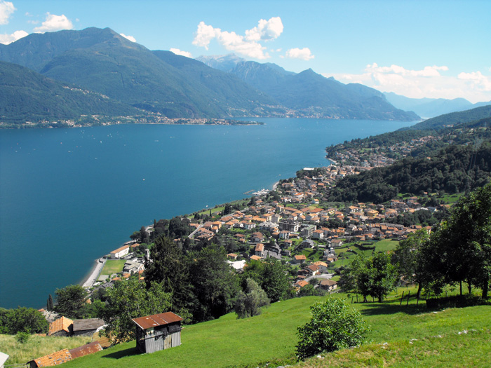
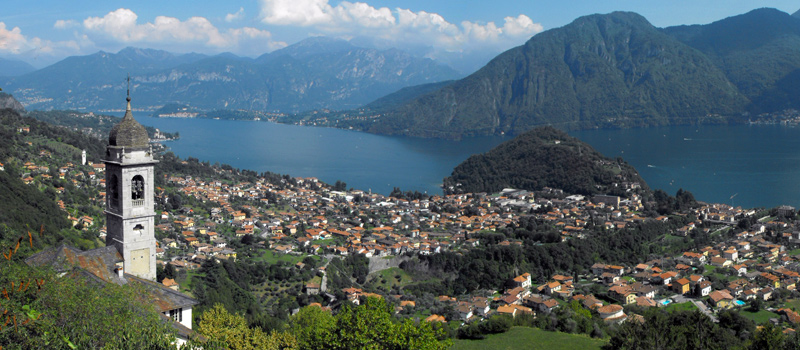
Panoramic excursion that starts from the port of Dongo and reaches the Sasso di Musso passing through characteristic mountain hamlets, ancient churches and breathtaking views. The route does not present difficulties but requires good training and an excellent sense of orientation to be able to correctly follow the tracks of the paths. In addition to the white and red signs the orange arrows of the Bregagno Skyrace are also useful and will accompany you for almost the entire excursion. We recommend caution along the stretch leading from Monte Corna (760 m) to the top of Sasso di Musso (1140 m), the mule track climbs steeply up between the rocks and in some places you have to use your hands to climb. Pay close attention to the parts of the route which are exposed. You can reach Dongo by boat and hydrofoil (Navigazione Laghi) or by bus (line C10 Como - Menaggio - Colico) from the bus stop close to the town hall (Palazzo Manzi).
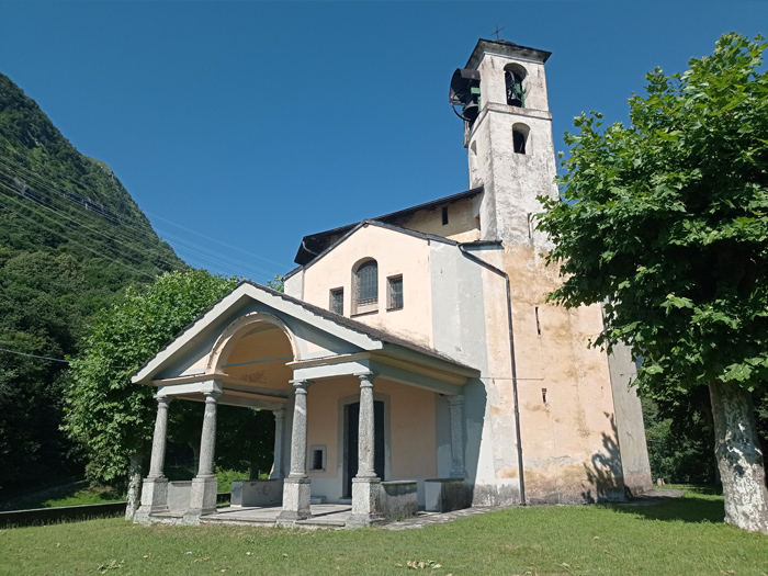
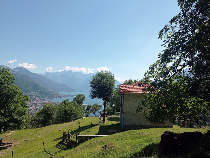
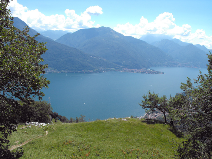
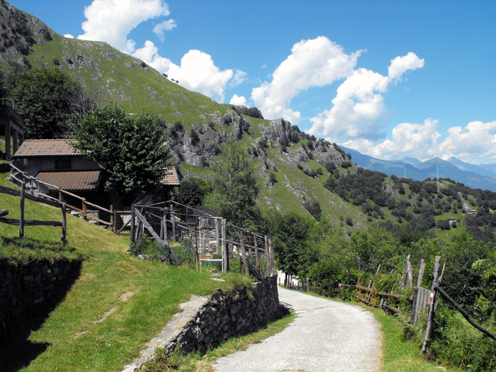
From the port follow the lakeside road and once you reach the town hall, go up in the direction of the Church of Santa Maria Martinico where, if you are lucky enough to find it open, there is a must-see view. Proceed to the Church of San Gottardo (390 m) ascending through the woods for a short stretch of path. After admiring the view, go down the steps and veer to the left continuing the ascend following the dirt road with its wide hairpin bends. Once you’ve reached the huts of Vigero (520 m) turn right making sure not to go off course, leave the woods on the clearing of Monte Corna (760 m) and continue on to Monte Crocetta (950 m) along a beautiful stretch of rocks accompanied by spectacular views.
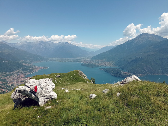
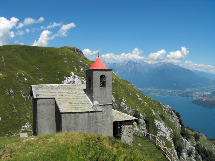
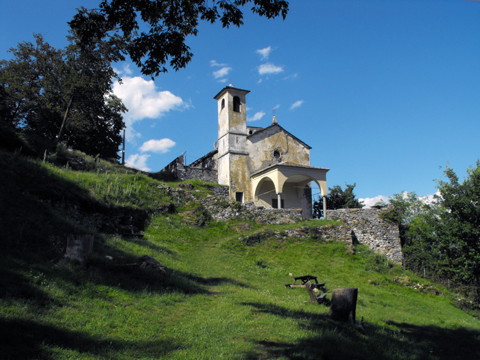
Once you are at the top of Sasso di Musso (1140 m) you’ll begin to see the church of San Bernardo (1095 m) below, go down a steep mule track and take advantage of the rest area where there is a fountain and refresh yourselves. From the small church you’ll start the descent, first on a path and then along a dirt track towards Musso, white and red signs indicate the points where it is possible to avoid the hairpin bends cutting through the woods. Be careful not to go any further than the left turn which descends through the meadows, pass through the hamlet of Genico and follow the path that leads up to the church of Sant'Eufemia. On the hill you’ll find the entrance gate of the Giardino del Merlo, after a brief stop at the fountain of the Church of Sant'Eufemia, follow the sign for Martinico and return to the port of Dongo.

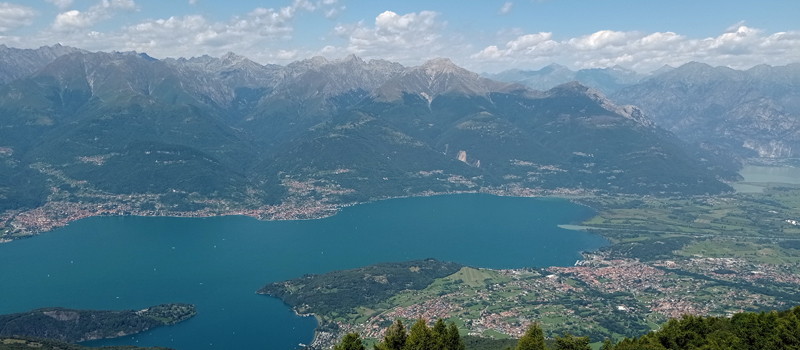
The Sentiero del Viandante travels halfway up the eastern part of Lake Como, beginning in Abbadia and ending in Morbegno. To allow you to enjoy this these beautiful sites in total tranquility, the route is divided into six stages.
Sentiero del Viandante
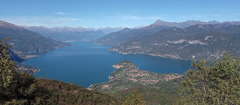
The hike on the Strada Regia is not particularly difficult, and is instead easily doable at any time of the year, keeping in mind to avoid the hottest days of summer and snow in winter. In this guide we have divided the route into three stages.
Strada Regia
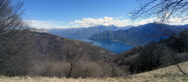
The trek to the ridge of the Lariano Triangle kicks off from Brunate and ends in Bellagio, the growth is about 37 km. which corresponds to 8/10 hours of walking, with some variations it is also possible to make the route with MTB.
Ridge Lariano Triangle