Panoramic walk along the crests of the mountains that surround the village of Pigra, the excursion is not difficult but requires good training. Throughout the first part the paths are marked by white and purple indicators, after Corniga the signs become orange. We suggest wearing hiking shoes, protecting yourself from the sun on the mountain ridge and postponing the trip in case of bad weather. The route passes through the Alpe di Colonno refuge (tel. 335 7160402) and the farmhouse le Casette di Laila (tel. 389 2917943), it is better to contact the facilities in advance for opening hours. Youll begin at the cable car station that connects Pigra with Argegno, in just five minutes it will climb from the shore of the lake to a panoramic balcony, unique in the world.
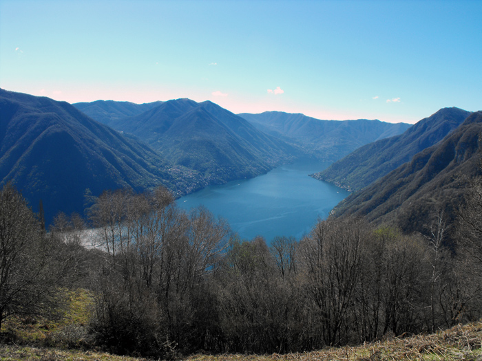
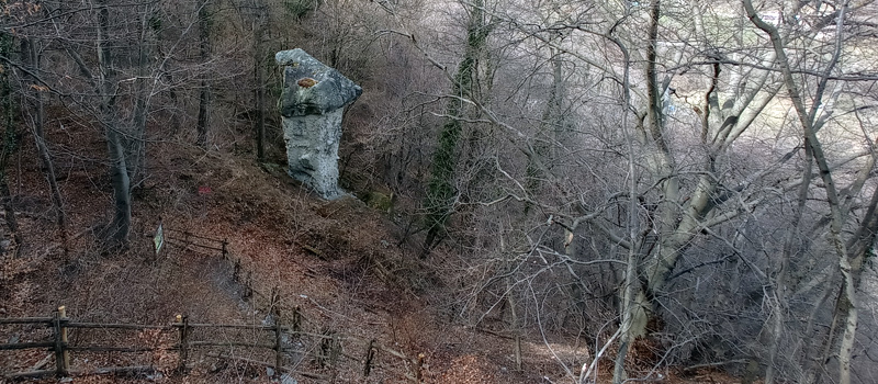
From the cable car go up through the village of Pigra, at the washhouse turn left and when you reach the Via Militare follow the sign for path no. 8, skirt the sports field and after a few steps turn left onto the path that climbs into the woods. Continue on up the hillside until youll find a beautiful panoramic stretch halfway up, at the gate of Pianello (1090 m) turn right (path n.1C) and begin the steep climb to the top of Mount Pasquella (1331 m) where, behind you, will be magnificent views of the Valle d'Intelvi. At this point youll be on the topographical border between Pigra and Blessagno and at the end of the ascent youll reach the viewpoint of Mount Pasquella.
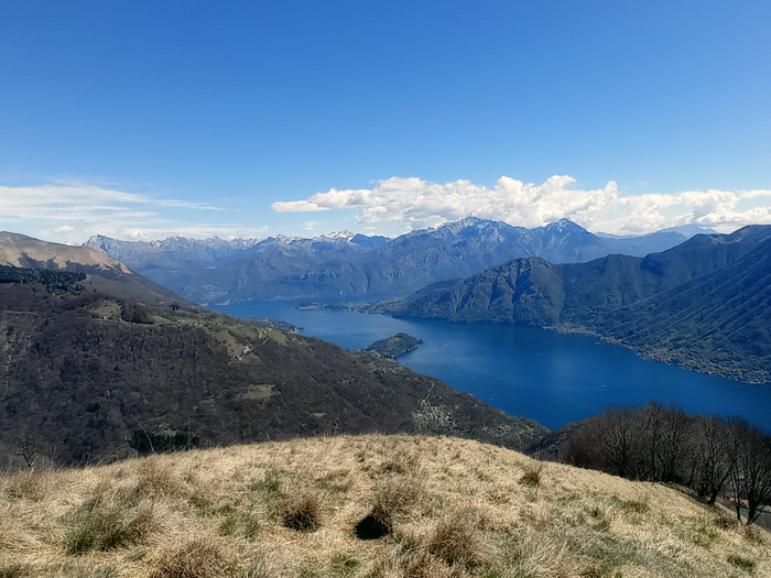
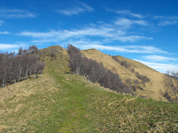
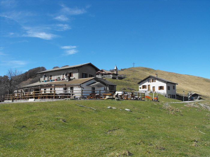
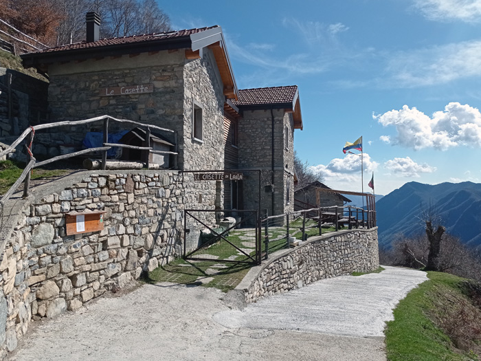
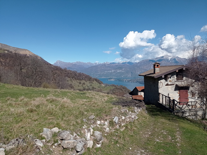
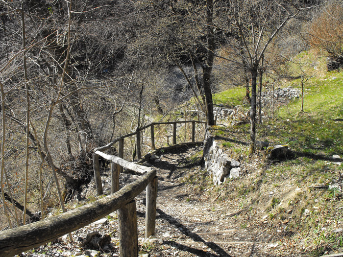
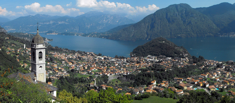
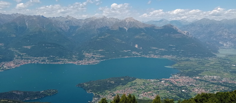
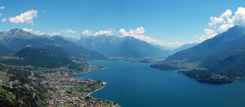
From the viewpoint will begin a series of ups and downs along the ridge of the soft slopes. Once arriving at the Bocchetta di Pigra (1325 m) continue on path no. 1A to Alpe di Colonno, to the west youll begin to see Lake Lugano whilst to the east you can admire the central part of the Lario and effortlessly reach the top of Monte Costone (1441 m). Once reaching Alpe di Colonno (1320 m) you will find the homonymous refuge and a crossroad of paths. Continue downhill on path no. 3, skirting the farmhouse le Casette di Laila (1150 m) and after having followed a few hairpin bends youll arrive at the huts of Solasco (880 m). Continue downhill to the characteristic village of Corniga (770 m), at the church of Sant'Anna turn right and pass through the splendid Val Camoggia. After crossing the bridge go up towards Pigra following the wide hairpin bends of path no. 3, once out of the woods skirt the Cason (building headquarters of the Workers' Society) and return to the cable car station.

The Sentiero del Viandante travels halfway up the eastern part of Lake Como, beginning in Abbadia and ending in Morbegno. To allow you to enjoy this these beautiful sites in total tranquility, the route is divided into six stages.
Sentiero del Viandante
The hike on the Strada Regia is not particularly difficult, and is instead easily doable at any time of the year, keeping in mind to avoid the hottest days of summer and snow in winter. In this guide we have divided the route into three stages.
Strada Regia
The trek to the ridge of the Lariano Triangle kicks off from Brunate and ends in Bellagio, the growth is about 37 km. which corresponds to 8/10 hours of walking, with some variations it is also possible to make the route with MTB.
Ridge Lariano Triangle