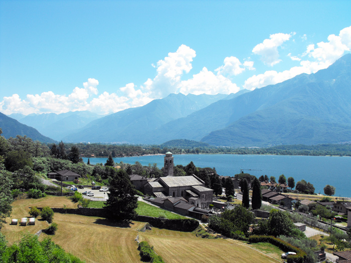
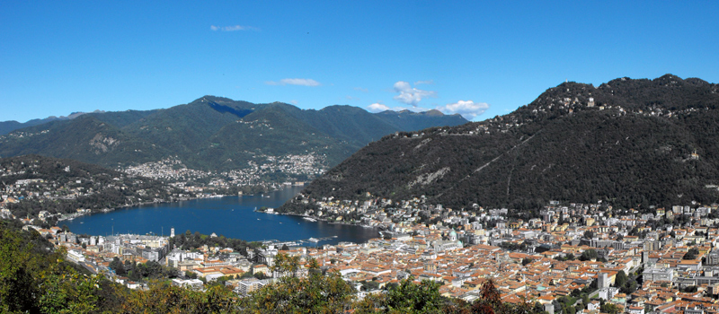
The walk from Gravedona to Gera Lario is a hike of considerable interest in culture and landscape, the route passes through quaint villages, ancient churches and beautiful views of Alto Lario. We can reach Gravedona by boat or hydrofoil, as well as by bus on the C 10 line. The path begins at the church of Santa Maria del Tiglio, and passes through the villages of San Carlo, Segna, Pozzolo, Domaso, Vercana and Trezzone, descends towards Gera Lario and ends near the church of San Vincenzo. Before starting out, we recommend visiting the Romanesque church of Santa Maria del Tiglio, built in the 12th century atop a previous place of worship.
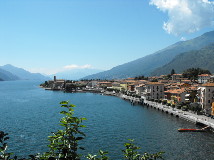
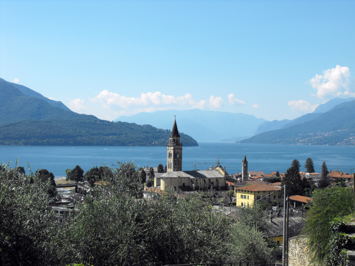
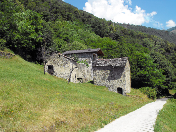
From the church, we reach the lakefront of Gravedona, from Piazza Mazzini we head right onto Via Castello and climb to a wonderful vantage point. We cross the highway (SS 340) and walk along Via Dosi e Segna before turning right onto Via Pessina, we recommend a visit to the church of Santa Maria delle Grazie. We turn around and face the climb to the village of San Carlo, and soon reach Segna with its church of San Lorenzo. Once past the last houses, we move down among the vegetable gardens toward Pozzolo. In Pozzolo we flank the Church of the Madonna delle Grazie and Villa Garovet to then turn right onto the path that heads down to Domaso. We walk the alleys of the ancient village to the church of San Bartolomeo where a visit is a must.
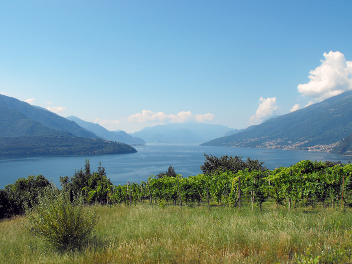
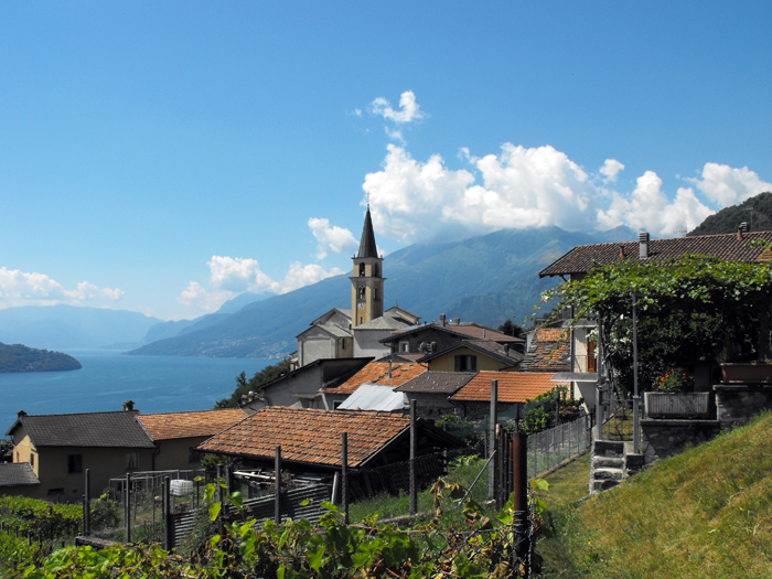
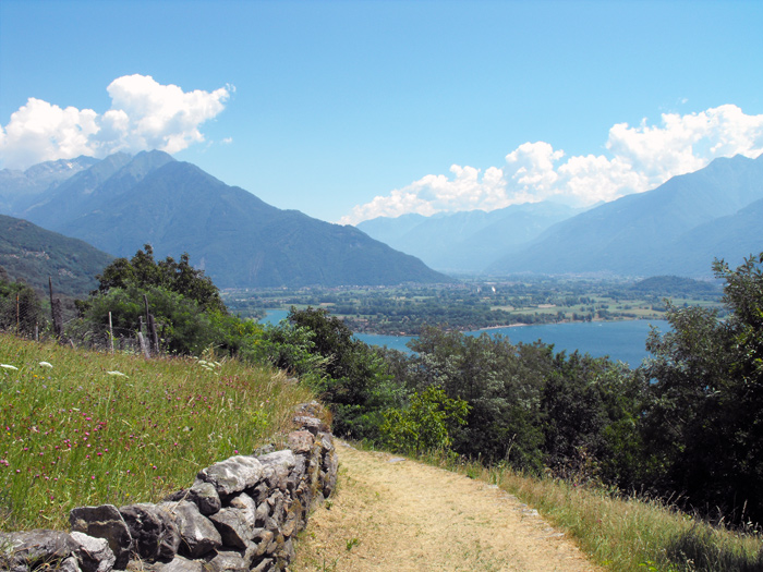
We pick our excursion back up on Via Mulini, as we cross the bridge over the Livio torrent, and from Via Antica Regina follow the signs for the Santuario della Madonna della Neve. Once in Vercana we flank the church of San Salvatore and after a few steps climb left among the houses of the village. We walk the road until the sign for Caino, where we turn left and climb the steep, narrow mule track towards Via Masino where the dirt road to Trezzone begins. We proceed halfway along the coast between magnificent views of the upper lake of Como and some isolated cabins, past a stream and a waterfall we can see Trezzone. At the crossroads we turn left and after visiting the characteristic village of Trezzone we reach the church of Santa Maria delle Grazie. We head down to Gera Lario alternating the road with a path that cuts through the fields, arriving at the church of San Vincenzo, we find the bus stop (C 10) to return to Gravedona.

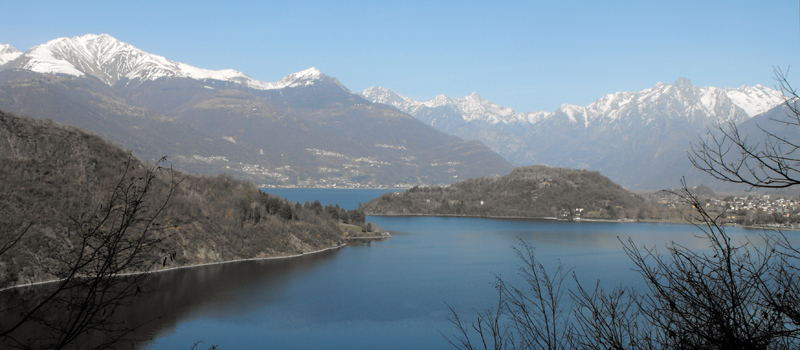
The Sentiero del Viandante travels halfway up the eastern part of Lake Como, beginning in Abbadia and ending in Morbegno. To allow you to enjoy this these beautiful sites in total tranquility, the route is divided into six stages.
Sentiero del Viandante
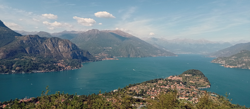
The hike on the Strada Regia is not particularly difficult, and is instead easily doable at any time of the year, keeping in mind to avoid the hottest days of summer and snow in winter. In this guide we have divided the route into three stages.
Strada Regia
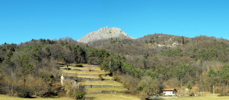
The trek to the ridge of the Lariano Triangle kicks off from Brunate and ends in Bellagio, the growth is about 37 km. which corresponds to 8/10 hours of walking, with some variations it is also possible to make the route with MTB.
Ridge Lariano Triangle