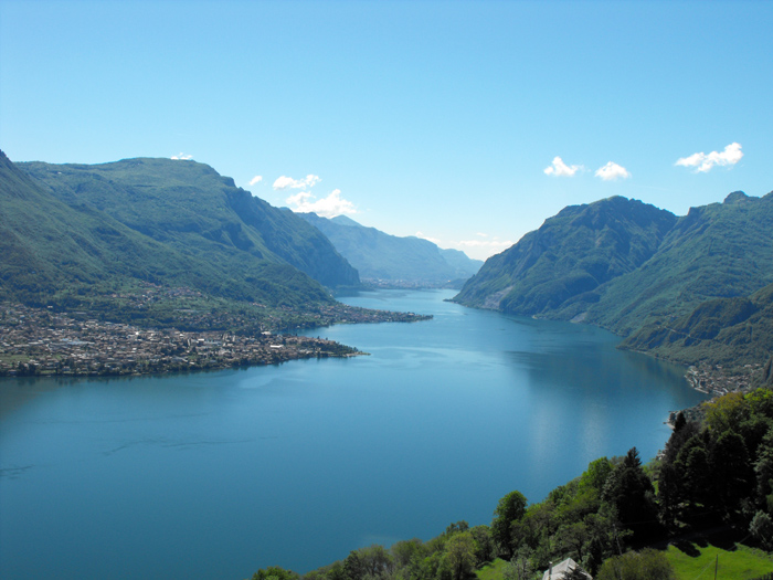
The Group of Grigna Mountains, completely made of of dolomitic-limestone rock, rises at the western extreme of the Alpi Orobie (Bergamo Alps). It is limited to the west, from Lecco to Bellano, by the eastern shore of Lake Como, travelled by State Road 36 and by the Lecco - Sondrio railway, and on all the other sides by the Valsassina Provincial Road, which travels (in order) the Gerenzone Valley, the Balisio Valley and the Valley of Pioverna, or Valsassina.
The Group's main ridge includes: Grigna Meridionale (Southern) or Grignetta - 2184 m.; Grigna Settentrionale (Northern) or Grignone - 2409 mt.; Monte Pilastro - 1823 mt.; and Pizzi di Parlasco - 1511 mt. Located on the slope that from Grignetta decends toward Mandello, we point out Rifugio Rosalba - 1730 m., in a very panoramic position. Rifugio Elisa - 1515 mt., is an excellent departure point for climbs to Sasso Cavallo and Sasso dei Carbonari, besides for climbs to Grignone and for interesting crossings.
If the paths are snow-covered, especially those above 1000 - 1200 m., their characteristics can change completely and prestent accentuated difficulties. Therefore, maximum caution is recommended before adventuring out onto snow-covered paths or ski slopes, especially when it is snowing, which could quickly change the a path’s level of danger. A certain level of alpine experience and much caution are essential, especially in the case of slippery rocks due to the rain.
Where indicated, equipment for “ferrate” (routes fitted with ropes, metal ladders) is a must.


In this area you can make many excursions and trips: in Linzanico starts the trail that in about three hours of walking gets to Resinelli Flatland, the Path of the Wanderer starts at Borbino and connected Abbadia to Colico.
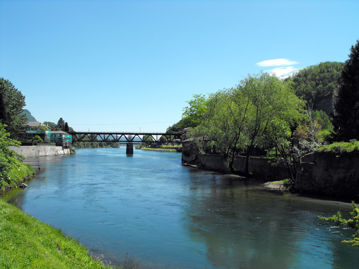
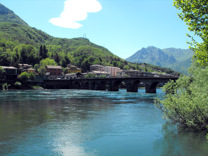
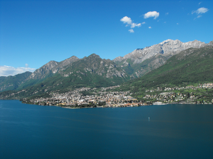
Abbadia Lariana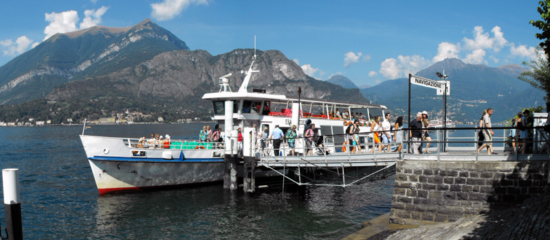
Various theme cruises are organized by the Lake Navigation Management, besides the normal lake navigation service, in July and August, it is possible to take a cruise on the Concordia with restaurant service.
Navigation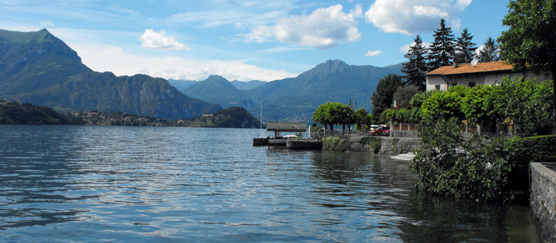
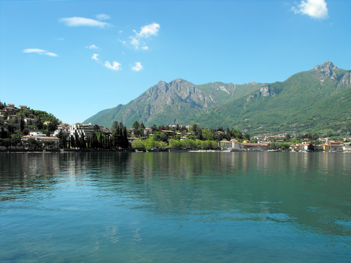
Lierna is affirming itself ever more as a tourist site, the quiet and beauty of this land makes it a very esteemed vacation spot, we'd like to point out the Riva Bianca - one the Lake Como's most beautiful beaches.
Lierna