


Plan your visit to Brienno with our interactive tourist map and discover one of Lake Como’s most beautifully preserved medieval villages. Explore local history at the Church of Saints Nazaro and Celso and the ancient Church of San Vittore. For hikers, our map highlights the scenic trail climbing from Brienno to Mount Comana, the educational Botanical Path to Pian d'Erba, and the enchanting Expressions Path (Sentiero delle Espressioni), where stunning wooden sculptures bring the forest to life all the way to the mountain summit.
| Coordinates: | 45°54'0"N 9°8'0"E |
|---|---|
| Elevation: | 203 m (666 ft) |
| Population: | 316 residents |
| Area: | 8.97 km² (3.46 sq mi) |
| Density: | 35/km² (91/sq mi) |
| Postal code: | 22010 |
| Dialing code: | 031 |
| Patron Saint: | Santi Nazario e Celso |
International callers: please add +39 before these numbers.
| City Hall | Via Regina 70 - tel. 031 814016 |
|---|---|
| Carabinieri - Dizzasco (CO) | Via Roma 41 - tel. 031 821129 |
| Pharmacy in Argegno | Piazza Testi 12 - tel. 031 821155 |
| Public library | Via Canova - tel. 031 814286 |
| Post Office | Via Canova 1 - tel. 031 814246 |
*Please note: dates may be subject to change. Check local event calendars before your visit.
| Patron Saint's Day | July 28 |
|---|


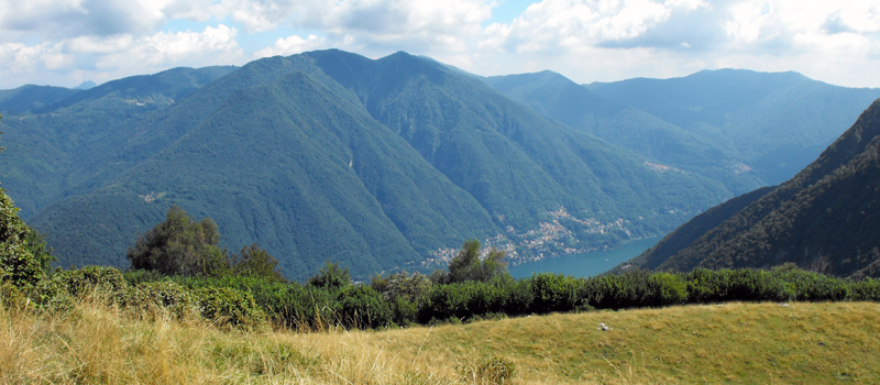
Brienno to Mount Comana Scenic Hike
This hike requires a good level of fitness and good sense of direction. From Brienno, follow the Botanical Trail (No. 1) to Pian d'Erba, then climb up to Mount Comana.

Mount Colmegnone Scenic loop
A stunning scenic hike that starts at Germanello di Laglio (270 m / 885 ft) and climbs to Mount Colmegnone (1,383 m / 4,537 ft) passing through the Monti di Germanello.
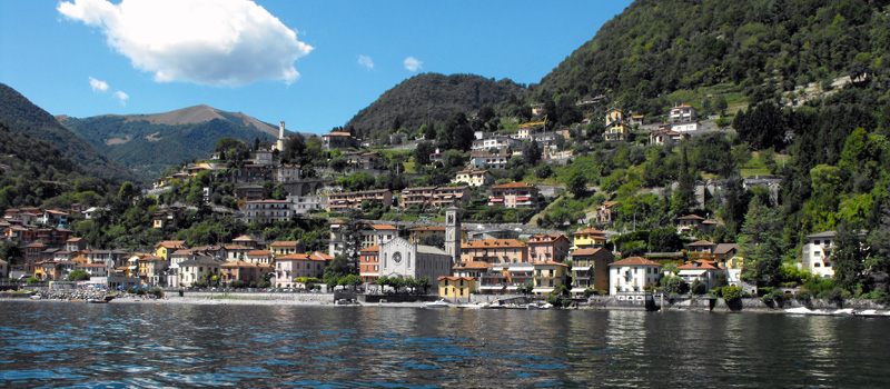
From Argegno, take the cableway to Pigra (881 m / 2,890 ft) for a spectacular balcony view of Lake Como. It’s the perfect gateway to the charming mountain villages of the Valle d'Intelvi.

Experience the lake's magic with various themed cruises. In July and August, you can enjoy a unique experience aboard the historic steamship Concordia, which offers an exclusive on-board dining service.

Laglio is an excellent starting point for walks along the lakefront and through the surrounding hills, from which one can admire a panorama of rare beauty. The slopes overlooking the town are covered with vineyards, olive groves, and laurel trees.
