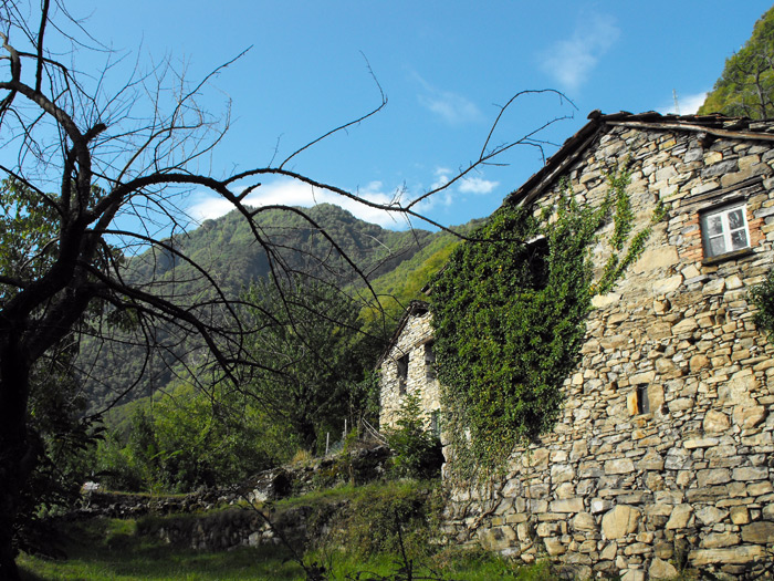
An interesting natural hike that climbs from the village of Brienno (203 m) to Pian d'Erba (1110 m) to reach monte Comana (1210 m) and head back down to the starting point. The hike requires a good training and good orientation. From Brienno it follows the Botanico path (n.1) to Pian d'Erba and then proceeds along the Espressioni path toward the top of Monte Comana. The climb is challenging up until the ruins of Pra de la Curt (985 m) then after a right turn, begins a nice stretch halfway up the side of the hill toward Pian d'Erba and the top of the mountain. We recommend caution and maximum attention along the cliffs or broken-up stretches, a good supply of water, trekking shoes and rescheduling the excursion in the case of bad weather.
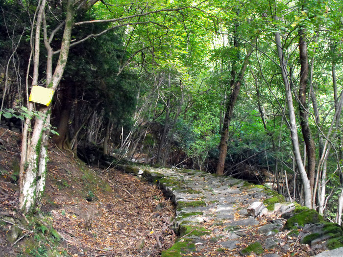
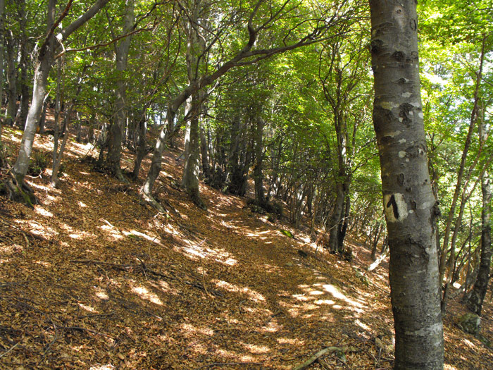
A few steps from the Brienno Town Hall we find the directions for the Botanico path and Pian d'Erba. We climb among the houses along a steep stairway among gardens and fields. We begin to see trees marked with the plants’ botanical names, there are around 60 yellow signs which help us orient ourselves along the stretch. Once we get to Giumanell (327 m) we travel a short, flat stretch to the temple of Sant'Antonio where we turn right and resume climbing some stone steps. It’s hard climb and the botanical signs make for a good excuse to stop and catch your breath. After a long stretch we arrive at the Scala Santa (715 m), an incredible stone staircase which was made back when these woods were cultivated terraces.
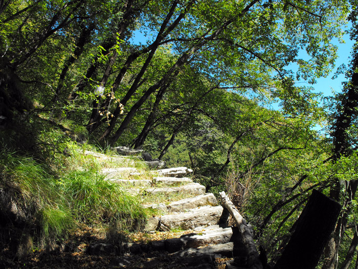
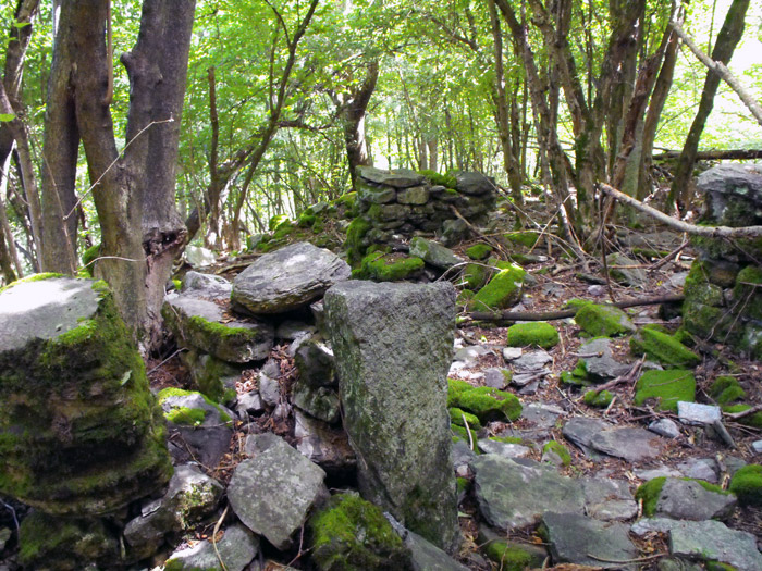
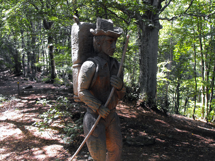
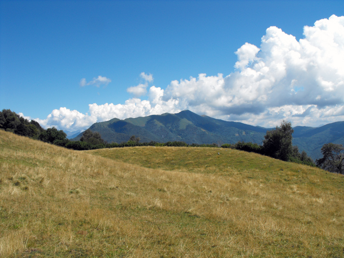
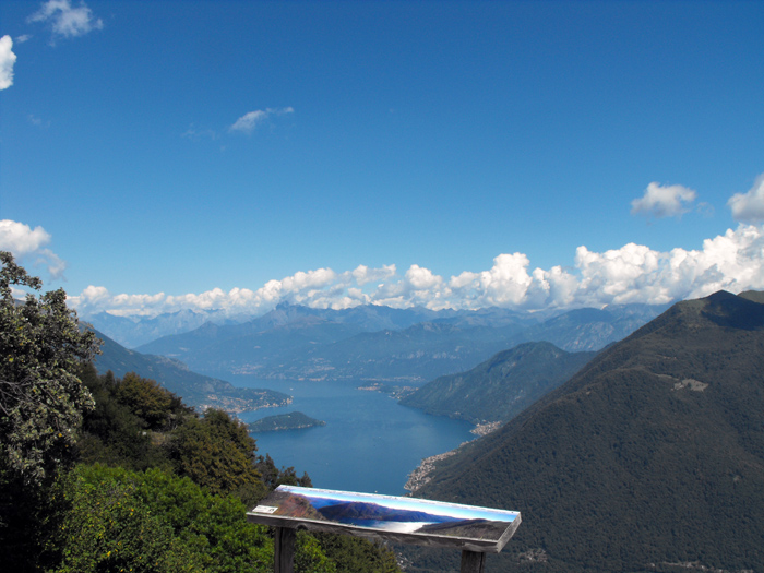
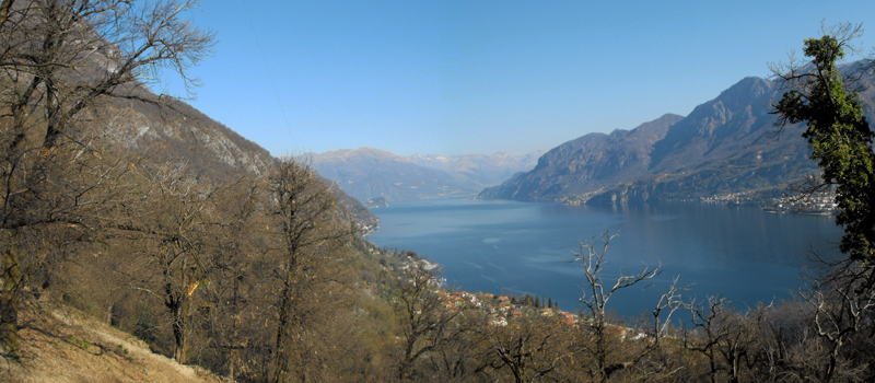
From the ruins of Costa Tuasa (730 m) we proceed along some slightly sloping terrain to arrive at the Turbola water source (760 m), to then resume the climb to the ruins of Pra de la Curt (985 m). Once past Pra de la Curt we are careful to not miss the right turn, and bend north at halfway up the hill through a woods of beech trees, until we come upon the Espressioni path along the Pian d'Erba. The Espressioni path offers amazing wooden sculptures dedicated to contraband, an activity that while illegal was very practiced in these areas last century. With the woods behind us we find ourselves on a natural balcony with an amazing view of the lake and mountains, we walk above the Agriturismo dell'Alpe, and with one last push reach the top of Monte Comana (1210 m) where we enjoy a panorama unique in the world.

The Sentiero del Viandante travels halfway up the eastern part of Lake Como, beginning in Abbadia and ending in Morbegno. To allow you to enjoy this these beautiful sites in total tranquility, the route is divided into six stages.
Sentiero del Viandante
The hike on the Strada Regia is not particularly difficult, and is instead easily doable at any time of the year, keeping in mind to avoid the hottest days of summer and snow in winter. In this guide we have divided the route into three stages.
Strada Regia
The trek to the ridge of the Lariano Triangle kicks off from Brunate and ends in Bellagio, the growth is about 37 km. which corresponds to 8/10 hours of walking, with some variations it is also possible to make the route with MTB.
Ridge Lariano Triangle