



The Sentiero del Viandante travels halfway up the eastern part of Lake Como, with the journey beginning in Abbadia Lariana and ending in Morbegno, crossing through the villages of Mandello del Lario, Lierna, Varenna, Bellano, Dervio, Dorio, Colico, Piantedo, Delebio, and Cosio Valtellino, as well as touching the provinces of Lecco and Sondrio. Over the centuries, the ancient trails in these areas were known by different names, such as Via Ducale, Strada Regia, Scalottola, and Strada Napoleona. The modern name Sentiero del Viandante was established in 1992 by the Tourist Promotion Agency of Lecco, which secured and connected the historical paths into a single itinerary, installing helpful metallic, orange directional arrows featuring the name of the trail and the logo of Lake Como. The presence of the local railway line along the entire route is extremely helpful, allowing hikers to easily reach the path from the local stations and head back to their starting point comfortably by train.
The overall length of the Viandante path is about 68 kilometers (42.2 miles), adding a few more kilometers if you choose the high variant during the second section. To make the journey more manageable and to allow you to enjoy these beautiful sites in total tranquility, the route is traditionally divided into stages, though you can easily customize the itinerary or hike it in the opposite direction without problems. The first stage kicks off from Abbadia Lariana and finishes at Lierna, while the second stage offers both a high variant and a low variant from Lierna to Varenna. The third leg connects Varenna to Dervio, the fourth runs from Dervio to Piantedo, and the final, longest section travels from Piantedo to Morbegno, offering sweeping views over the Low Valtellina valley.
The excursion along the Sentiero del Viandante does not present a technical level of difficulty, and it is a trek that can be done, weather permitting, in every season of the year. However, the best time to hike is at the beginning of spring, thanks to the cool days and the Low vegetation. We highly recommend appropriate sportswear and proper trekking shoes for the terrain. Wishing you a wonderful excursion, we remind you to always proceed with caution on the trails and to maintain a deep respect for the nature, historical places, and local people you will meet along the way.


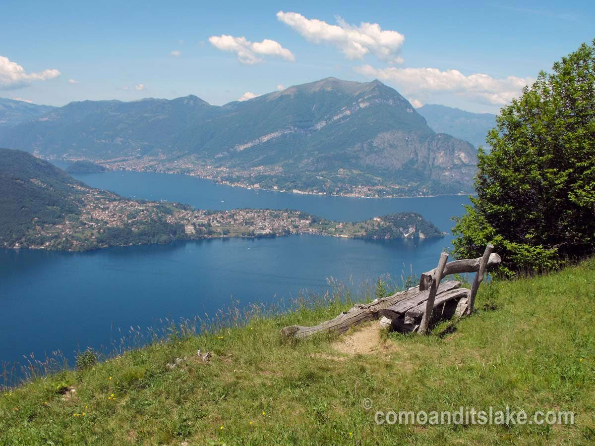
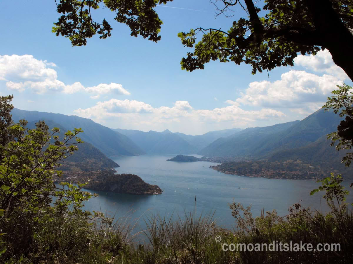
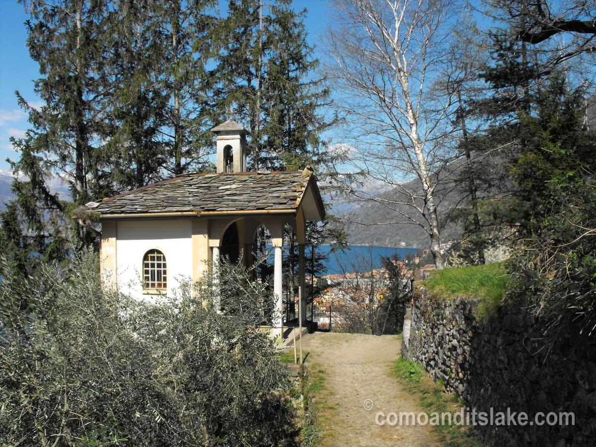


Abbadia Lariana to Lierna
The first stage of the Wayfarer’s Trail (Sentiero del Viandante) starts at the Church of San Martino (St. Martin) in Abbadia and concludes in Lierna at Via Genico.

From Lierna to Varenna
The second stage “Low route” of the Sentiero del Viandante begins on Via Genico in Lierna and ends in Varenna, near the historic Vezio Castle.

GPX tracks can be downloaded for personal use only, and they cannot be copied or distributed in any other form. GPX tracks, times and descriptions of the excursions should be considered only as indicative.
Responsibility for following the itineraries proposed on this website is entirely up to the user and is in no way whatsoever dependent on the author. The author assumes no responsibility for damage or accidents resulting from incorrect information or improper use of GPX tracks.

The Wayfarer’s Trail
Agree the terms to download