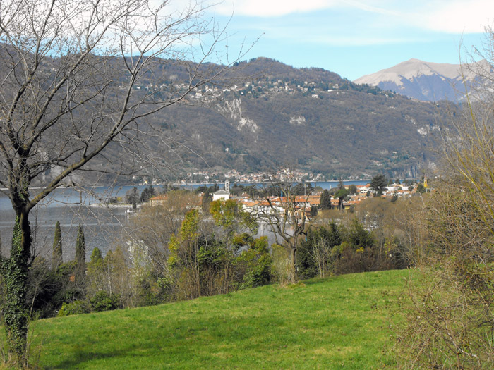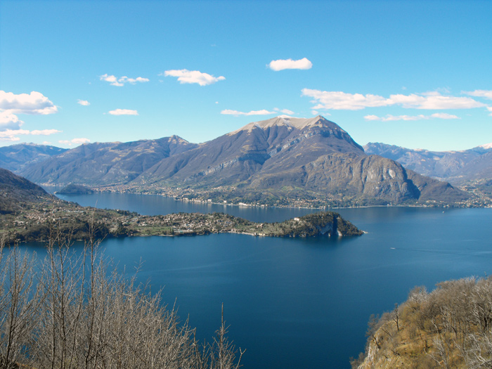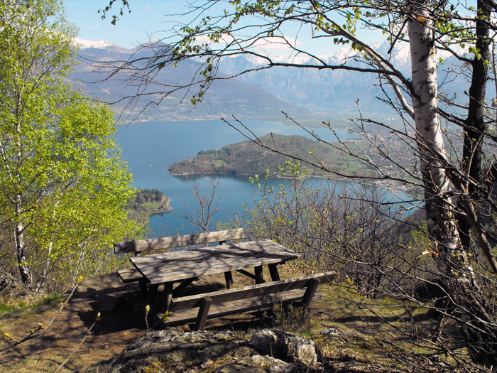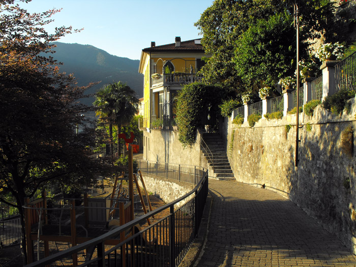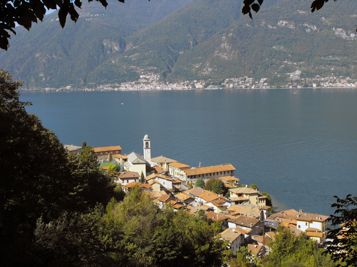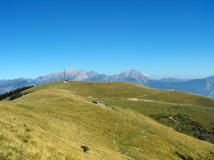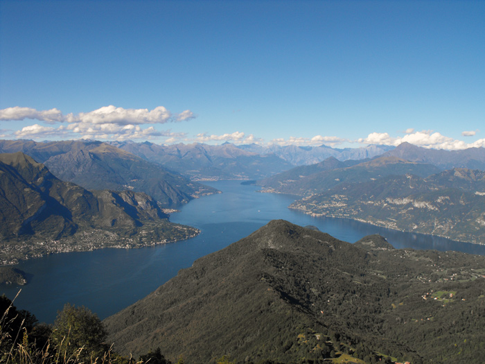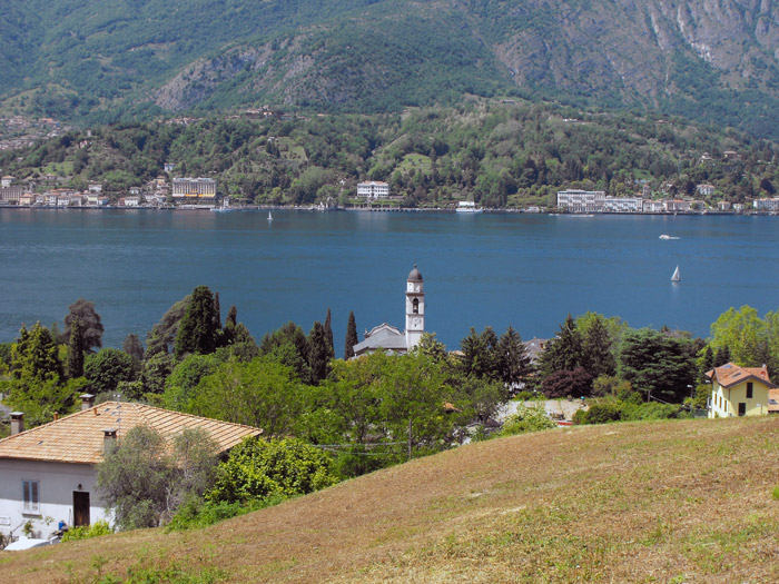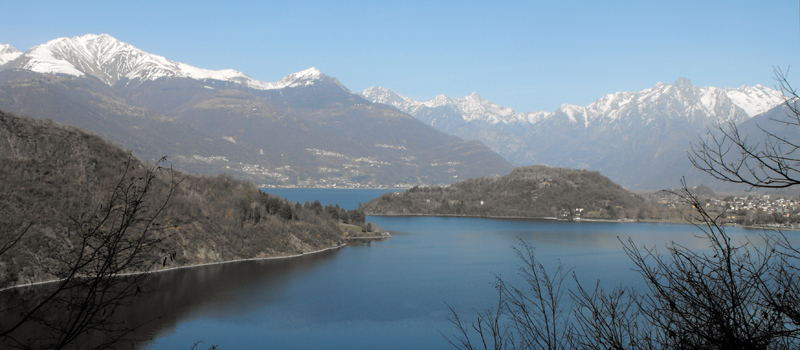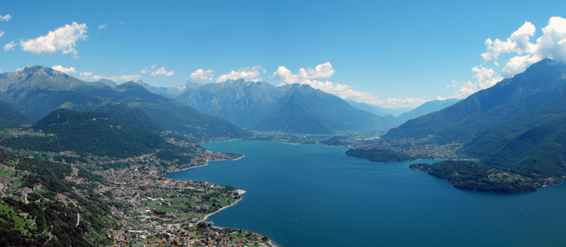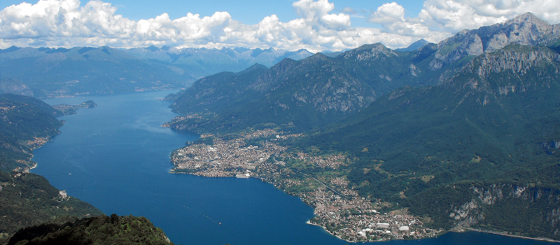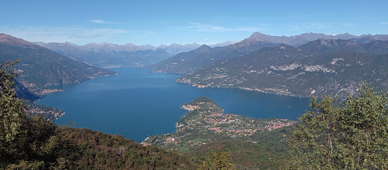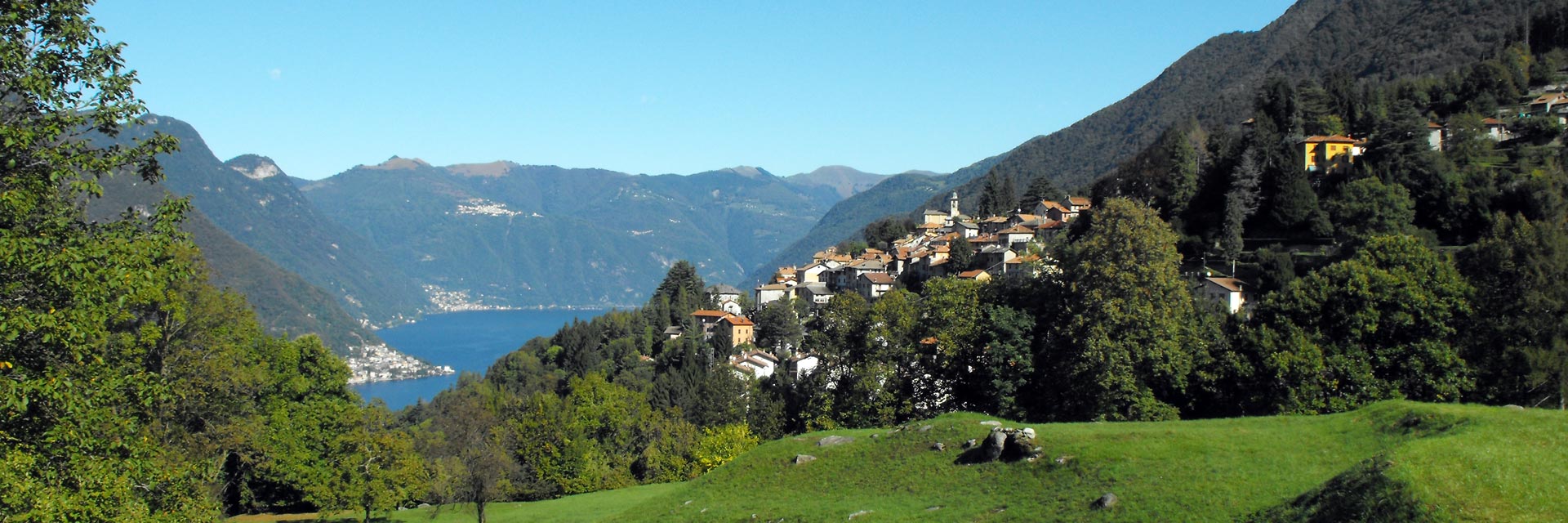
The territory of Lake Como is the perfect place for hiking and walking excursions; the routes connecting the villages and mountain hamlets are masterfully constructed paths built during the past centuries. Walking along these paths we pass through areas that are unique in the world, breathing in all of nature while immersed in the wonderful landscape that surrounds us. The magnificent excursions of Lake Como, from the simple walk through art and culture, to the long stages walking along the hillside on historical paths, delighting in the wonderful views suspended between the lake and the mountains.
With our map, finding the perfect trail is a breeze! Every trail has been carefully mapped, and the tracks are available in GPX format, ready for download to GPS devices and smartphones. Whether you're a seasoned hiker or just starting out, you'll have all the info you need: difficulty, distance, elevation gain, and estimated hiking time.
 Sentiero del Viandante Sentiero del Viandante | |
 Ridge Lariano Triangle Ridge Lariano Triangle | |
 Strada Regia Strada Regia |
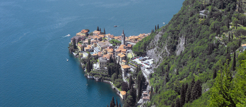
The Sentiero del Viandante travels halfway up the eastern part of Lake Como, beginning in Abbadia and ending in Morbegno. To allow you to enjoy this these beautiful sites in total tranquility, the route is divided into six stages.
Sentiero del Viandante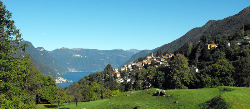
The hike on the Strada Regia is not particularly difficult, and is instead easily doable at any time of the year, keeping in mind to avoid the hottest days of summer and snow in winter. In this guide we have divided the route into three stages.
Strada Regia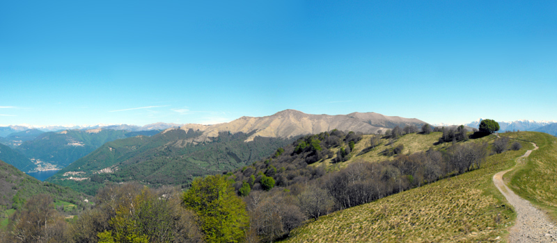
The trek to the ridge of the Lariano Triangle kicks off from Brunate and ends in Bellagio, the growth is about 37 km. which corresponds to 8/10 hours of walking, with some variations it is also possible to make the route with MTB.
Ridge Lariano Triangle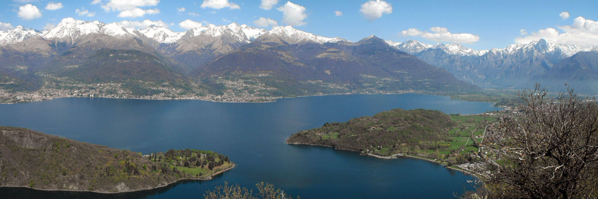
 Cascata del Cenghen
 Mushrooms of Rezzago
 Val Perlana loop hike
 Pigra - Monte Costone
 Sasso di San Martino
 Monte S.Primo loop hike
 Hike Monte Legnoncino
 Hike Sasso di Musso
 Camaggiore loop hike
 Moltrasio loop hike
 Hike Monte Nuvolone
 Veleso - Monte San Primo
 Torno - Pietra Pendula
 Gravedona - Gera Lario
 Menaggio - Rogolone
 Spina Verde Park
 Vassena - Civenna
 The Piona Peninsula
 Belvedere di Makallé
 Onno - Monte Megna
 Laglio - Monte Colmegnone
 Brienno - Monte Comana
 Sorico - San Fedelino
 Olcio - Zucco Sileggio
 Gajum - Corni di Canzo
 Breglia - Monte Grona