


Plan your visit to Moltrasio with our interactive tourist map and discover one of Lake Como's most exclusive and historic villages. Explore the beautiful churches of San Martino and Sant'Agata, and admire the breathtaking grounds of the legendary Villa Passalacqua. For outdoor enthusiasts, our map highlights the scenic alpine trails that climb up to the Bugone Refuge, passing through the charming mountain hamlet of Monte di Liscione.
| Coordinates: | 45°52'N 9°06'E |
|---|---|
| Elevation: | 247 m (810 ft) |
| Population: | 1,467 residents |
| Area: | 8.9 km² (3.44 sq mi) |
| Density: | 165/km² (427/sq mi) |
| Postal code: | 22010 |
| Dialing code: | +39 031 |
| Patron Saint: | St. Martin & St. Agatha |
| Market Day | Friday morning (Via Roma) |
|---|
International callers: please add +39 before these numbers.
| City Hall | Via Besana 67 - tel. 031 290402 |
|---|---|
| Local Police | Via Besana 67 - tel. 031 290402 |
| Pharmacy | Via Ranzato 24 - tel. 031 376137 |
| Post Office | Via Besana 67 - tel. 031 290162 |
| Moltrasio Sailing Club | Via Bellini 1 - tel. 031 290975 |
| Moltrasio Rowing Club | Via Bellini 4 - tel. 031 376093 |
*Please note: dates may be subject to change. Check local event calendars before your visit.
| San Martino Fair | November |
|---|---|
| Patron Saint's Day | November 11 |


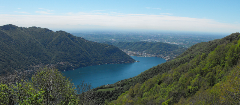
Explore the "Sentee di Sort" trail
On the stretch from Rovenna to Moltrasio, we follow the "Sentee di Sort", a beautiful scenic trail that takes us on a journey to discover the ancient Moltrasina stone quarries.
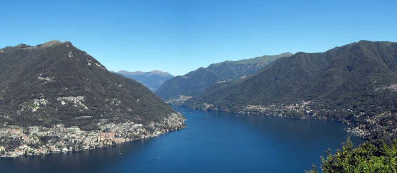
Discovering the Pietra Pendula
A loop hike that starts in Torno and leads to the mountain hamlets of Piazzaga and Montepiatto, taking in the Trovanti, the Massi Avelli, and the Pietra Pendula.

Laglio is an excellent starting point for walks along the lakefront and through the surrounding hills, from which one can admire a panorama of rare beauty. The slopes overlooking the town are covered with vineyards, olive groves, and laurel trees.

Experience the lake's magic with various themed cruises. In July and August, you can enjoy a unique experience aboard the historic steamship Concordia, which offers an exclusive on-board dining service.
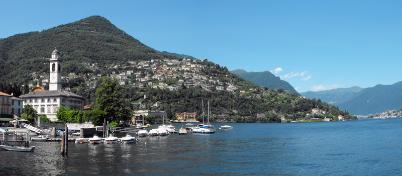
Cernobbio is the starting point for the (Via dei Monti Lariani), a picturesque hike along trails at altitudes ranging from 600 to 1,200 meters. The most prestigious of the estates is Villa d'Este, now converted into the Grand Hotel Villa d'Este.
