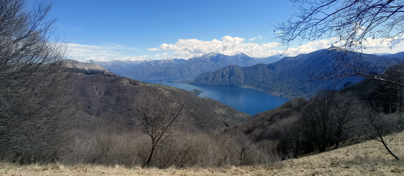
The ringed excursion on the Moltrasio mountains is not difficult but requires some good training due to the fact that in the first part of the route there are some considerable inclines, and we recommend starting with trekking shoes and a good supply of water. The journey begins from and ends on the Moltrasio pier, which can be reached by boat or hydrofoil (Navigazioni Laghi) and by bus C 10 (ASF Autolinee). On the stretch from Rovenna to Moltrasio, we’ll walk along the "Sentee di Sort", a beautiful panoramic path to discover the ancient Moltrasian stone quarries. If you plan to have lunch at the Bugone lodge (Tel. 031 035 0027), we recommend contacting the establishment in advance for openings and hours.
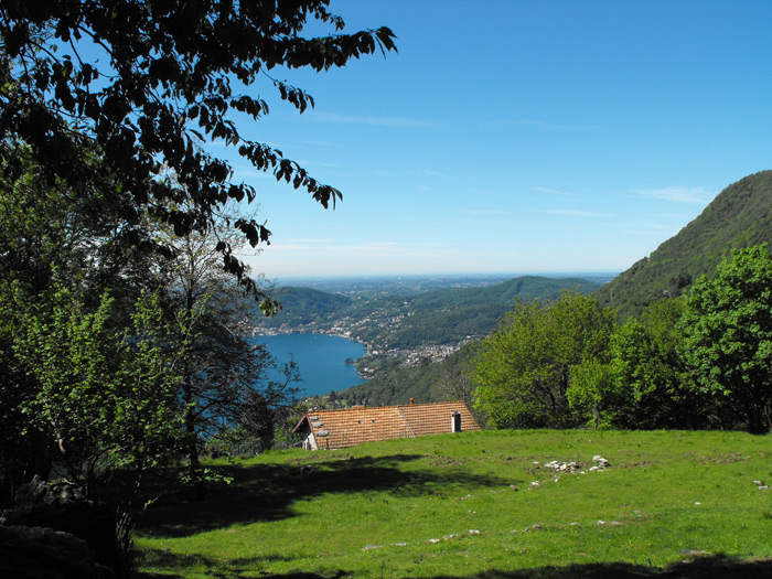
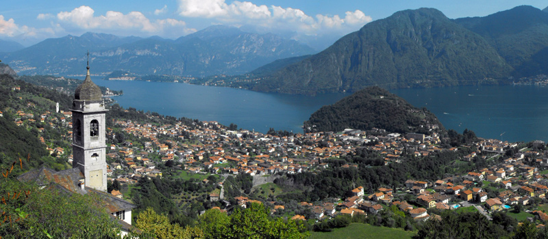
From the Moltrasio wharf we can go up the staircase (Scala Santa) next to Villa Passalacqua, walking along the town hall and the church of San Martino (13th century) and continuing on via Bianchi towards the hamlet of Tosnacco. We follow the via dei Monti Lariani continuing to climb the steep path in the woods, and after the Via Crucis we’ll reach the dry-stone walls at the gates of the hamlet of Monte di Liscione (730 m). We cross the historic village and at the crossroads we can follow the signs for the Bugone lodge (1120 m), and after a long uphill stretch, we’ll finally leave the woods and begin to see the lodge in front of us. After a well-deserved stop in the shade of a centuries-old beech tree (the Fuatèl), we then continue our journey on the path that descends to the Monti di Lenno, paying attention to the uneven ground and the steep slopes.
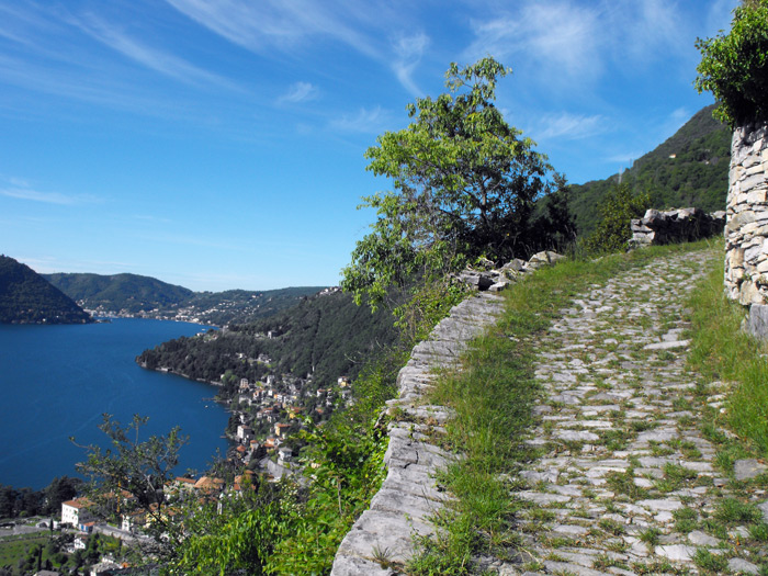
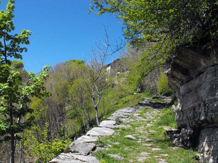
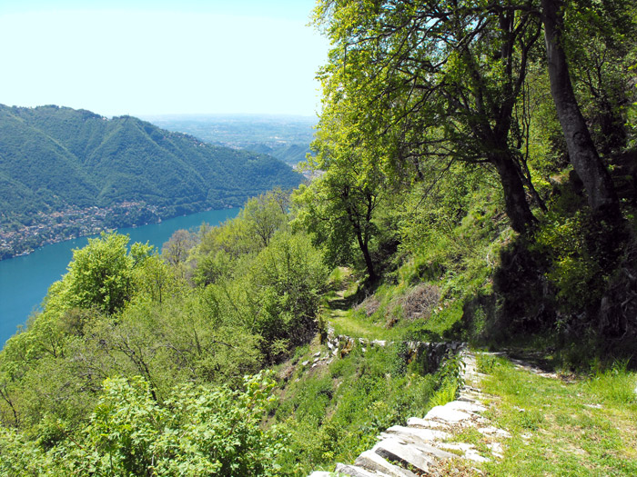
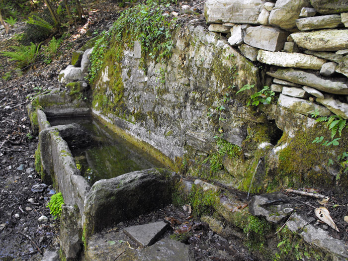
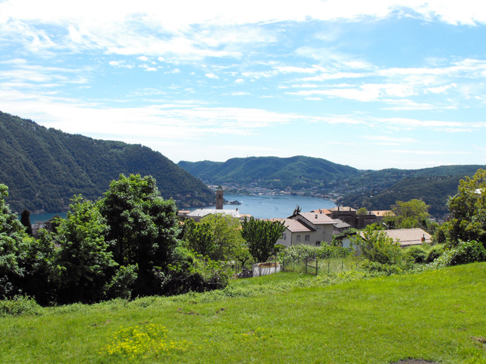
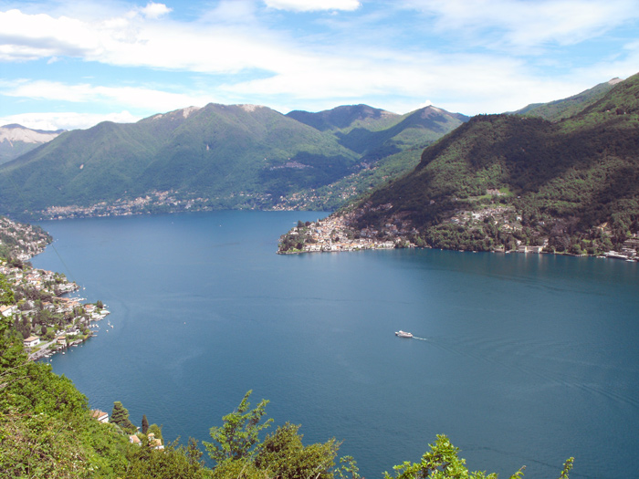
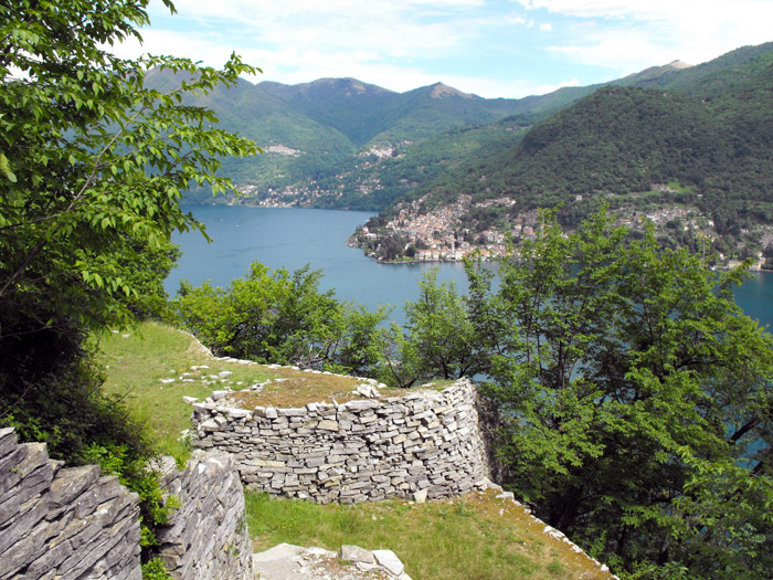
We pass a valley and a couple of streams before we reach the source of the Gump, and at the next junction we’ll turn right onto the road (the street for Bisbino) in the direction of Rovenna. We proceed slightly downhill on the asphalted road accompanied by splendid views of Lake Como, and once we’ve arrived near the cemetery, we’ll find the signs for the Sentee di Sort. We recommend caution on the path not so much for its difficulties (short, exposed sections), but having already traveled a few kilometers, fatigue can start to kick in. The views over the Sentee di Sort are splendid, and we proceed suspended along the hillside; once past the ancient Moltrasian stone quarries, we arrive at the hamlet of Casarico. Going down towards the Moltrasio pier, we suggest a detour to the church of Sant'Agata (11th century) where, on the external wall, we can admire the frescoes of San Cristoforo and the martyrdom of Sant'Agata.

The Sentiero del Viandante travels halfway up the eastern part of Lake Como, beginning in Abbadia and ending in Morbegno. To allow you to enjoy this these beautiful sites in total tranquility, the route is divided into six stages.
Sentiero del Viandante
The hike on the Strada Regia is not particularly difficult, and is instead easily doable at any time of the year, keeping in mind to avoid the hottest days of summer and snow in winter. In this guide we have divided the route into three stages.
Strada Regia
The trek to the ridge of the Lariano Triangle kicks off from Brunate and ends in Bellagio, the growth is about 37 km. which corresponds to 8/10 hours of walking, with some variations it is also possible to make the route with MTB.
Ridge Lariano Triangle