Pigra: The Balcony Over Lake Como
The Argegno–Pigra Cable Car (a reversible "bifune" system) was inaugurated in 1971 and remains one of the most exciting ways to experience Lake Como. After an extensive structural renovation, service resumed in June 2011. The four-minute journey is breathtaking, ascending a vertical drop of 653 meters (2,142 ft) with an average gradient of 71% and a top speed of 5 meters per second.
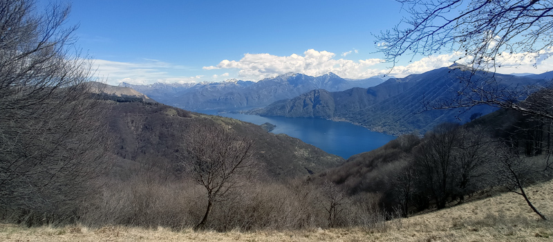
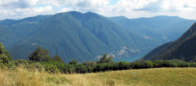
While the cable car is a vital link for residents commuting to the lakeside, it has become a favorite for summer tourists. Visitors ride to Pigra to enjoy sweeping panoramas of the lake and to access popular hiking trails leading to Mount Galbiga and the Alpe di Colonno.
The Village of Pigra Through the Centuries
The village of Pigra itself is steeped in history. An ally of Como during the Ten Years' War, it was later ruled by the Visconti in the 14th century and the Rusconi in the 15th. In the 1500s, it fell under the domain of Giacomo de’ Medici, known as Il Medeghino. A local landmark is the parish church of Santa Margherita; first described in 1593 by Bishop Niguarda as a two-nave structure with a bell tower, it was expanded with a third nave in 1830.
A must-visit in town is Al Cason, the historic headquarters of the Pigra Workers’ Society. Founded in 1877 as one of Italy's first Mutual Aid Societies—with Giuseppe Garibaldi as an honorary member—the building now serves as a museum. Historically the heart of the community, it once housed a dairy on the ground floor, a theater and meeting hall on the first, and the local school, kindergarten, and archives on the second.
For more information: Argegno–Pigra Cable Car. Argegno Station: +39 031 821344 | Pigra Station: +39 031 810844

Argegno Lake Como
 Pigra - Mount Costone
Elev: 910 m / 2,985 ft ↑
 Val Perlana Loop Hike
Elev: 630 m / 2,066 ft ↑
 Brienno - Mount Comana
Elev: 1,020 m / 3,346 ft ↑
 Sasso di San Martino
Elev: 780 m / 2,560 ft ↑
View All Lake Como Hikes