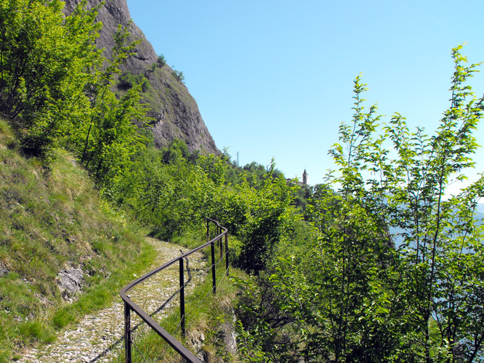
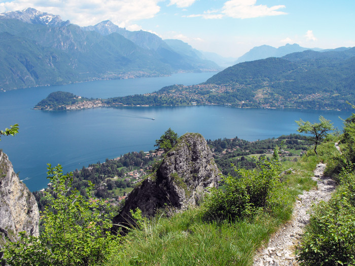
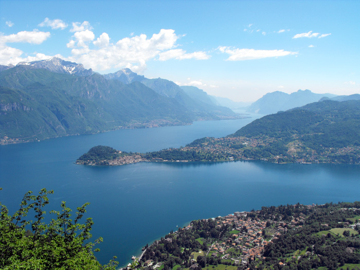
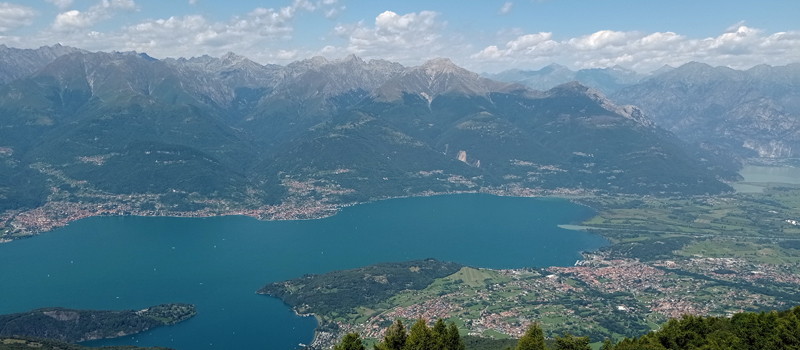
The hike from Griante (205 m) to Sasso di San Martino (860 m) is panoramically unique in the world, the walk offers us magnificent views of Bellagio and Lago di Como. The first part of the excursion (up to the church of San Martino) is rather easy, while the path from the little church to the top of Sasso di San Martino is along an narrow and rocky mule track, therefore we recommend the maximum caution. In the initial phase, the path is well-marked, but at the top of Sasso directions are lacking, so we advise downloading the GPX track, and carefully following the map. The excursion begins at the Cadenabbia harbor, which is easily reached by boat or ferry (Ente Navigazione Laghi) or by bus (autolinee ASF C-10).
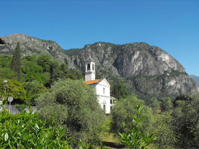
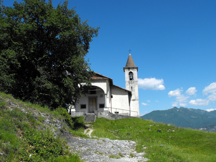
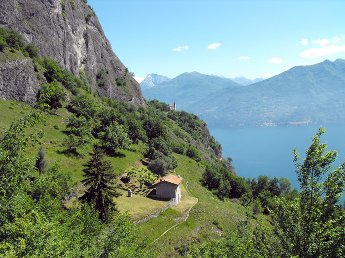
From the Cadenabbia harbor we head north, and quickly turn left onto Via Roma and, at the church of San Giuseppe climb toward the church of Santi Nabore e Felice. We pass through the characteristic village of Griante, and once at the San Rocco oratory we find the signs for the church of San Martino. Turning right onto the bridge over Ronconi we begin the climb to the woods, along the sides of the path, we can admire the initial aedicules of the Via Crucis. Once past a few curves, we arrive at the little church of the Alpini, and nearby stands a rest area where we can catch our breath. Having left the woods, the climb becomes easier and a beautiful panoramic stretch midway up the slope leads us to the small church of San Martino (475 m), also known as the Sanctuary of Madonna delle Grazie (16th century).
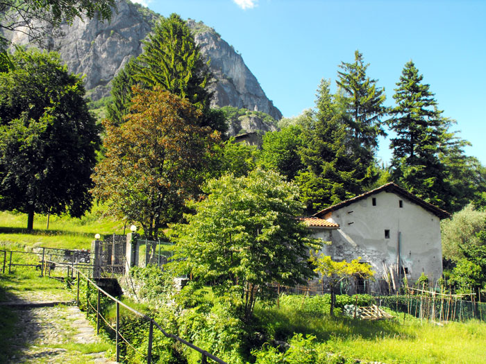
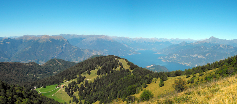
In order to reach the top of Sasso di San Martino, from the church we head down the path we travelled earlier, once past the valley, we turn right at the crossroad, passing a cabin to then climb into the woods. We continue the climb out, and there in the sunshine, luckily, among the rocks we find a water source where we can be refreshed. We walk along a grand, rocky buttress to then enter a woodsy area, we then leave the woods behind, we find ourselves at the foot of a pasture which we will flank to then climb toward some farmhouses. Once beyond the farmstead, we climb for a bit along a paved road. At the clearing we immediately turn right and after a few winds and turns we make it to the top of Sasso di San Martino from which we can admire a splendid panorama of Lago di Como.

The Sentiero del Viandante travels halfway up the eastern part of Lake Como, beginning in Abbadia and ending in Morbegno. To allow you to enjoy this these beautiful sites in total tranquility, the route is divided into six stages.
Sentiero del Viandante
The hike on the Strada Regia is not particularly difficult, and is instead easily doable at any time of the year, keeping in mind to avoid the hottest days of summer and snow in winter. In this guide we have divided the route into three stages.
Strada Regia
The trek to the ridge of the Lariano Triangle kicks off from Brunate and ends in Bellagio, the growth is about 37 km. which corresponds to 8/10 hours of walking, with some variations it is also possible to make the route with MTB.
Ridge Lariano Triangle