


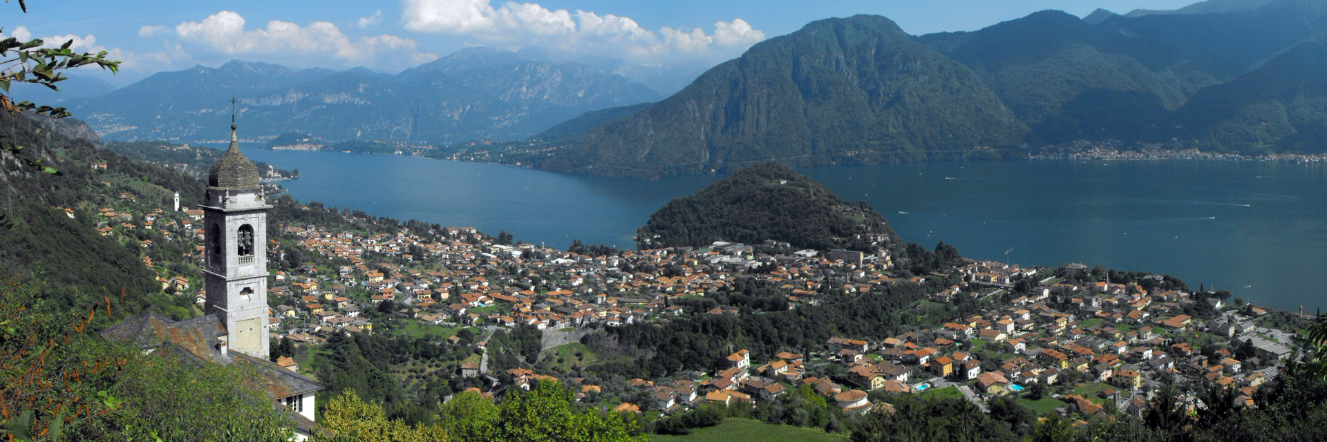
Explore Lake Como with ease via the interactive map, discover hiking trails of every level with detailed information including ferry routes. The map provides useful details on walking tours and places of interest, making it easier to plan trips and adventures. The panoramic paths offer the opportunity to immerse yourself in nature, while the villages on the lake shores invite you to explore historic villas, Romanesque churches and museums.
| Maximum depth: | 414 m. Between Nesso and Argegno. |
| Average altitude: | 199 m. s.l.m. |
| Perimeter: | 180 km. |
| Surface: | 145 km² |
| Maximum width: | 4,3 km. From Menaggio to Fiumelatte. |
| Minimum width: | 650 m. Between Careno and Torriggia. |
| Length as the crow flies: | 46 km. From Gera Lario to Como. |
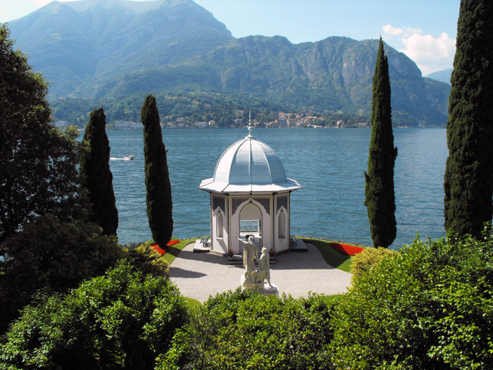
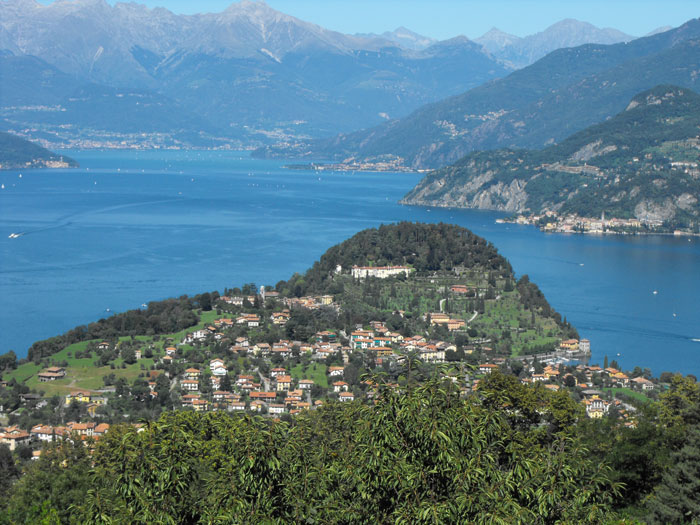
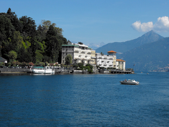
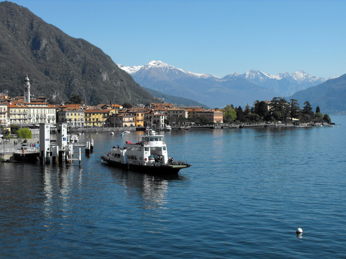
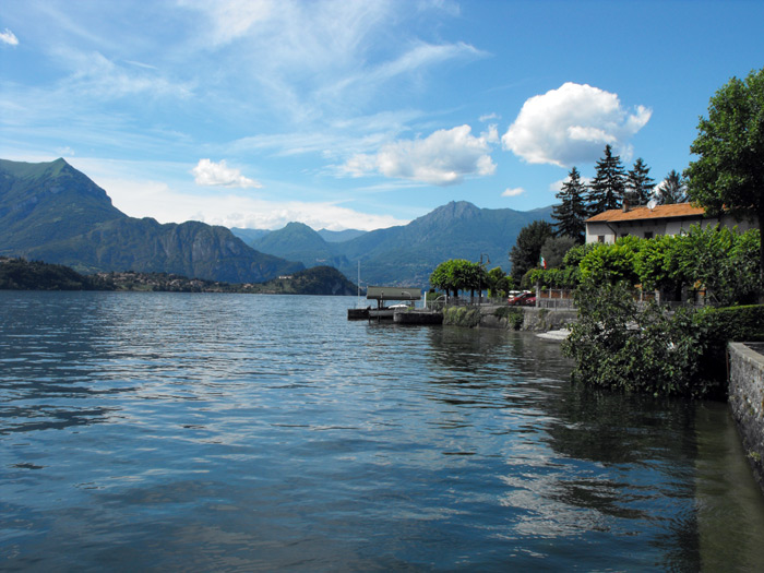
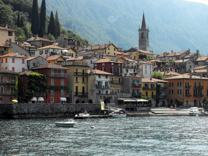
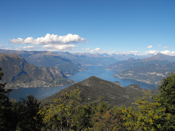
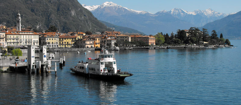
Menaggio's particularly mild climate, ventilated by two winds known as Breva and Tivano, and its optimal sunny position allows for a surprising flora along the lake shore. Its supply of receptive and sporting facilities is excellent.
Menaggio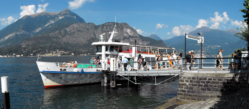
Various theme cruises are organized by the Lake Navigation Management, besides the normal lake navigation service, in July and August, it is possible to take a cruise on the Concordia with restaurant service.
Navigation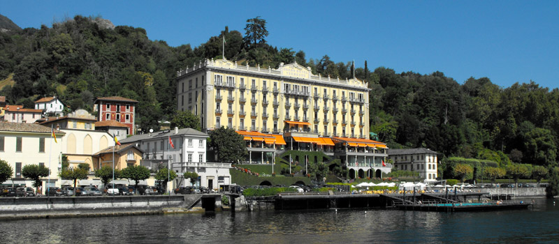
The most famous of Tremezzo's villas is Villa Carlotta, open to the public, surrounded by a wonderful Italian garden with a graceful fountain in front of the villa's entrance, box tree hedges, exotic and rare plants.
Tremezzo Sentiero del Viandante
 The Strada Regia
 Ridge Lariano Triangle
 Cascata del Cenghen
 Mushrooms of Rezzago
 Val Perlana loop hike
 Pigra - Monte Costone