Valle d’Intelvi: Where Nature Meets Ancient History
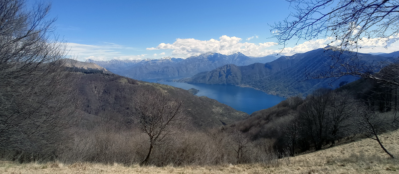
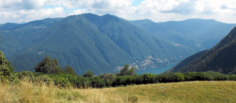
The Intelvi Valley is one of the most beautiful and industrious valleys in the Province of Como, serving as a natural bridge between the Lario basin and Lake Lugano. The landscape is incredibly lush, with mountain peaks blanketed in dense forests and historic man-made terraces still visible along the slopes.
How to get to and get around the Intelvi Valley
Historically, grain and rye were the valley's primary resources. To support this agricultural heart, numerous stone flour mills were built along the Telo stream and its tributaries. While many now lie in ruins, they remain a hauntingly beautiful testament to the valley’s past. To reach the Intelvi Valley from Como, follow the western lakeside road toward Cernobbio for about 20 kilometers (12 miles) until you reach Argegno, the gateway to the valley.
Just beyond Argegno lies the village of Cerano, once home to a bustling hub of water-powered mills. One of these, a historic mill dating back to the 1600s and owned for generations by the Patriarca family, operated until 1975. After a period of neglect, it was salvaged by the Comunità Montana. Next to it stands an ancient ironsmith’s forge and hammer, also under restoration, where essential iron tools were forged for centuries.
The Intelvi Valley Through the Centuries
The valley's history stretches back even further: a colony of Etruscans is said to have sought refuge here during the Roman conquest. Devoted to agriculture, they used a unique type of water mill of Eastern origin. Instead of rotating grindstones, these utilized large stone pestles carved from solid blocks. Remarkably, two of these ancient stone pestles were discovered and preserved—one in Ramponio on Via XX Settembre, and another in a private garden in Pellio on Via Lem.

Argegno Lake Como
 Pigra - Mount Costone
Elev: 910 m / 2,985 ft ↑
 Val Perlana Loop Hike
Elev: 630 m / 2,066 ft ↑
 Brienno - Mount Comana
Elev: 1,020 m / 3,346 ft ↑
 Sasso di San Martino
Elev: 780 m / 2,560 ft ↑
View All Lake Como Hikes