Forte di Fuentes: The Sentinel of the North
For centuries, Colico served as the primary gateway between the Duchy of Milan and the Swiss cantons, making it a critical strategic passage for controlling transit across the Alps. In the 16th century, the region was under Spanish control, and the need to protect this frontier led to the construction of a monumental defensive complex.
The Construction of the Fort of Fuentes Under Spanish Rule
In October 1609, the Spanish Governor, Pedro Enriquez Acevedo, the Count of Fuentes, commissioned the fortress atop the Monteggiolo hill. Over three years, under the direction of military architect Gabrio Brusca, workers transformed the landscape into a formidable stronghold. The finished fort spanned 300 meters by 125 meters and was a self-contained military city, complete with barracks, a governor’s palace, a chapel, a mill with an oven, and deep subterranean storehouses.
Fuentes Fort during World War I
For over a century, the fortress stood as a sentinel over the lake. However, in 1769, Austrian Emperor Joseph II visited the site and, deeming it militarily obsolete, ordered it decommissioned. By 1782, the fortress was demolished, and the hill was sold into private hands. Yet, the strategic importance of the site did not vanish; during World War I (1915–1918), the hill was repurposed as an artillery outpost for the Cadorna Line (Linea Cadorna), a massive defensive system. Today, the reinforced concrete bunkers from this era remain remarkably well-preserved just north of the original Spanish ruins.
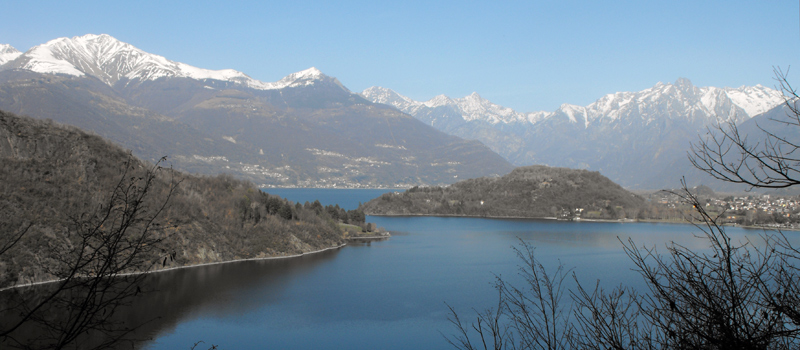
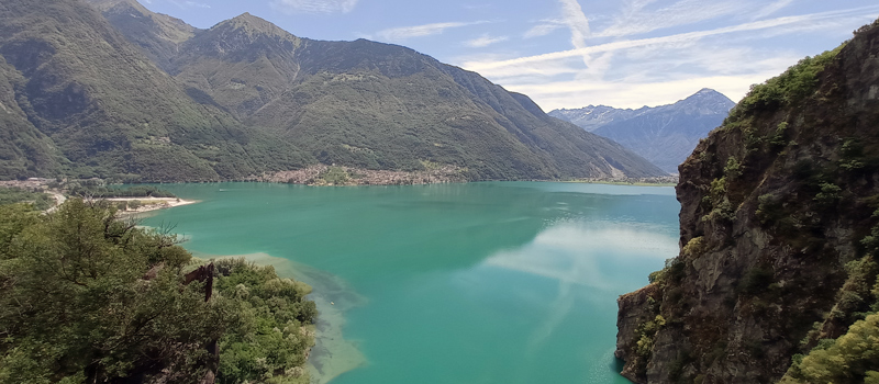
Since 1987, the Monteggiolo hill has been owned by the local authorities, and today it is open to the public thanks to the dedicated efforts of the Fort Fuentes Association. A hike to the summit offers not just a journey into the past, but some of the most commanding views of the upper lake.
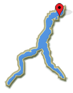
Colico Lake Como
 Wayfarer's Trail Stage 4
Elev: 1,030 m / 3,379 ft ↑
Wayfarer's Trail Stage 5
Elev: 1,200 m / 3,937 ft ↑
 Piona Abbey Loop Trail
Elev: 520 m / 1,706 ft ↑
 Sorico to San Fedele Oratory
Elev: 780 m / 2,559 ft ↑
View All Lake Como Hikes