Fontanedo Tower: A Medieval Sentinel
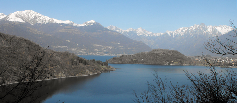
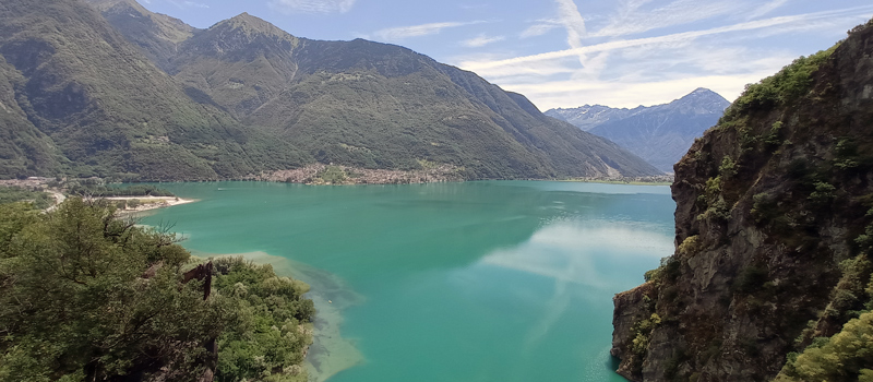
Perched dramatically on the slopes of Mount Legnone, the Torre di Fontanedo is a fortified sentinel that has watched over the upper Lake Como for nearly 700 years. Built in 1357 by order of Bernabò Visconti, the Lord of Milan, the tower likely stands on the ruins of an even older 12th-century defensive structure. During the 17th century, the tower took on a new life: under Spanish rule, it was expanded into a strategic fortification, becoming a critical link in the defensive system that included the nearby Fort of Fuentes.
The Fontanedo Tower and the Wayfarer's Trail
The tower was built to see, not just to be seen. From this vantage point, the garrison monitored the crucial trade routes connecting Lecco to the Valtellina, including the ancient "Scalottola" mule track. Today, that historic path is part of the famous Sentiero del Viandante (Wayfarer’s Path), a scenic hiking route that traces the eastern shore of the lake.
The architecture is a masterclass in medieval defense. The tower follows a square plan, rising 15 meters (49 feet) with stone walls over a meter thick. The original entrance was located on the first floor, accessible only by retractable stairs—a clever design meant to thwart enemy incursions. While time and nature have reclaimed some of the surrounding garrison buildings, the main tower remains standing as a proud, rugged landmark.
How to get to the Fontanedo Tower
You can reach the tower, the small village of Fontanedo, and the nearby Sant'Elena Church via the "Fontanedo Loop Trail" (Anello di Fontanedo). It is an accessible, well-marked hiking loop that offers a perfect blend of history, architecture, and alpine nature.

Colico Lake Como
 Wayfarer's Trail Stage 4
Elev: 1,030 m / 3,379 ft ↑
Wayfarer's Trail Stage 5
Elev: 1,200 m / 3,937 ft ↑
 Piona Abbey Loop Trail
Elev: 520 m / 1,706 ft ↑
 Sorico to San Fedele Oratory
Elev: 780 m / 2,559 ft ↑
View All Lake Como Hikes