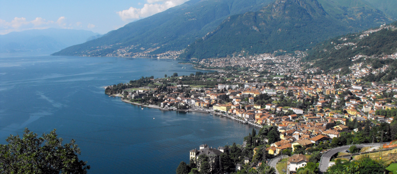
The Olgiasca Peninsula walk, in addition to giving us splendid views of the Alto Lario area, allows us to visit the complex of the Abbey of Piona, one of the most interesting religious places on Lake Como. The circuit excursion does not contain any major difficulties, starting from and ending in the Piona railway station where trains pass every hour to Lecco and Sondrio. We recommend starting with trekking shoes, a good supply of water and on the hottest days let’s not forget our bathing suits as the route passes near free beaches where it is possible to stop and take a swim.
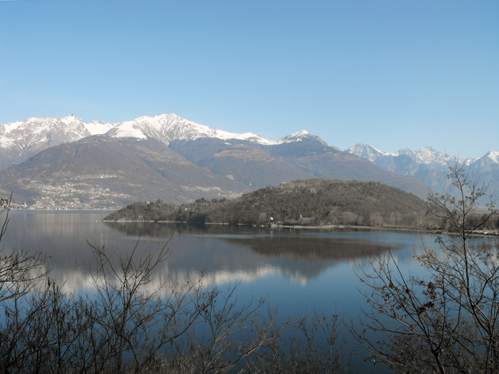
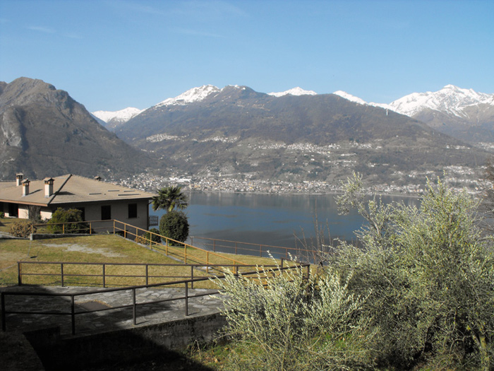
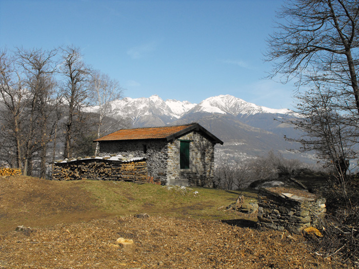
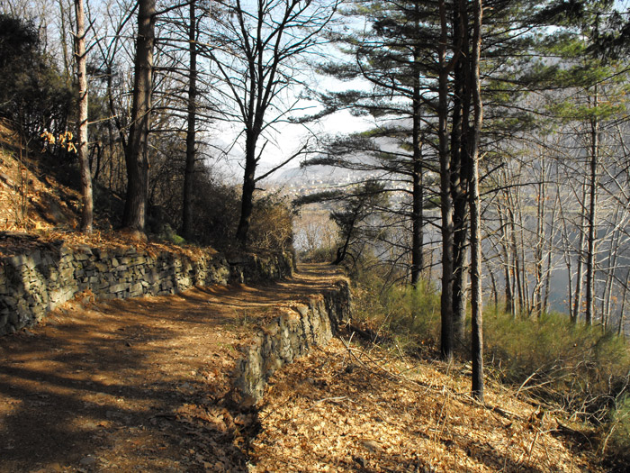
Leaving Piona station (225 m) we then turn left towards the lakeside campsites, where a longstraight road leads us to the intersection with the main road n. 72 which we then follow carefully for a short distance. Once we’ve passed the bridge over the Rossello stream, we canfind the signs for the Abbey of Piona (path 7), where the mule track climbs steeply into the woods and then softens and follows the main road from above. We pass through a forest of chestnut and birch trees, while upstream huge boulders loom over the path and towards the valley we’ll be able to enjoy magnificent views of the lake and the Piona peninsula. Leaving the woods near the Crottino restaurant, we’ll then cross the provincial road and begin to climb to the characteristic village of Olgiasca (305 m).
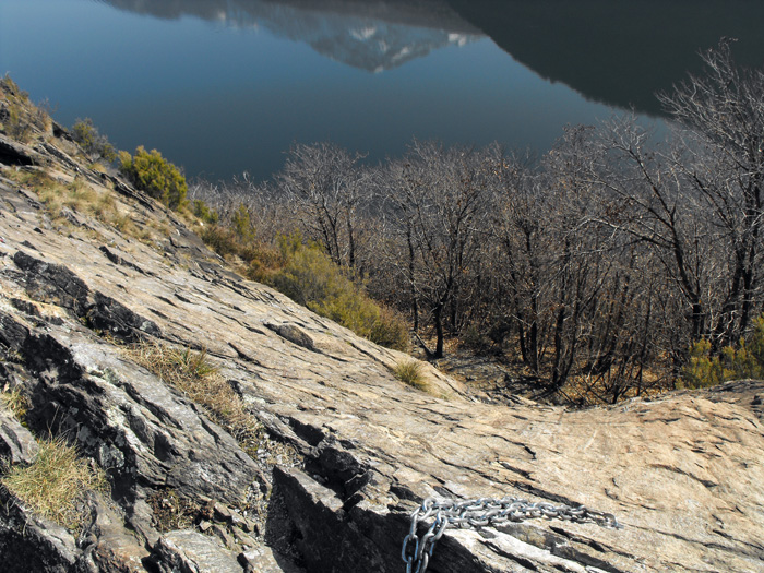
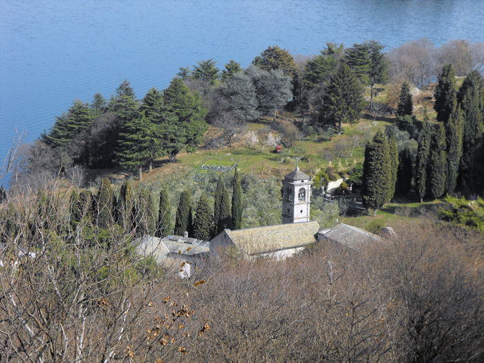
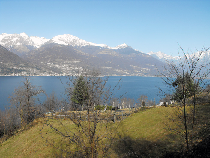
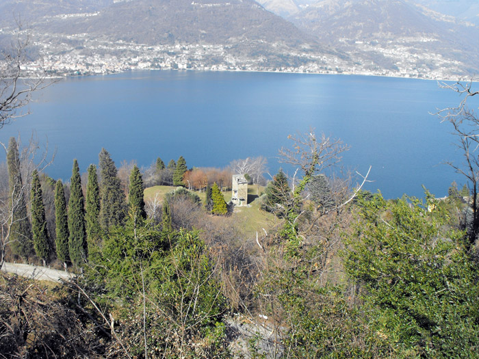
We pass by the side of the church of San Carlo ignoring the road signs for the abbey, continuing along path n.7 towards via Roccolo, and after some villas we begin the journey onthe ridge of the Piona peninsula. The traces of the paths blend together amidst dry stone wallsand breathtaking views and then join near the Sass Negher cliff (365 m), a majestic rocky wall perfectly equipped for sport climbing. We proceed on path n.7 gently descending towards the shore of the lake, and after passing a votive cave we can skirt along some wire mesh up to the entrance of the abbey. After a visit to the Abbey of Piona (220 m) we can resume the journey on the wide cobbled road, and just past the Malagrida farmhouse we’ll find the signs to go up to Olgiasca (path 7A). Pay attention so as to not lose the track of the small roads of the village, and when we come back to the church of San Carlo, we’ll pass along the path taken previously for the way back.

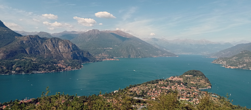
The Sentiero del Viandante travels halfway up the eastern part of Lake Como, beginning in Abbadia and ending in Morbegno. To allow you to enjoy this these beautiful sites in total tranquility, the route is divided into six stages.
Sentiero del Viandante
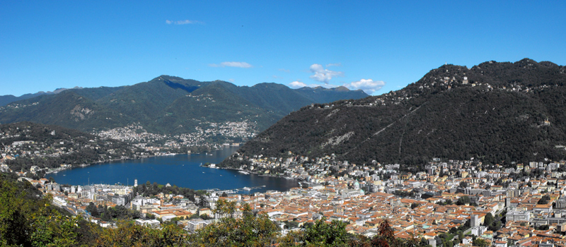
The hike on the Strada Regia is not particularly difficult, and is instead easily doable at any time of the year, keeping in mind to avoid the hottest days of summer and snow in winter. In this guide we have divided the route into three stages.
Strada Regia
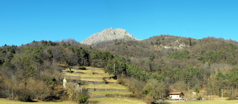
The trek to the ridge of the Lariano Triangle kicks off from Brunate and ends in Bellagio, the growth is about 37 km. which corresponds to 8/10 hours of walking, with some variations it is also possible to make the route with MTB.
Ridge Lariano Triangle