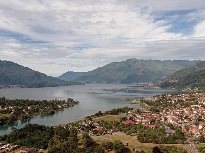
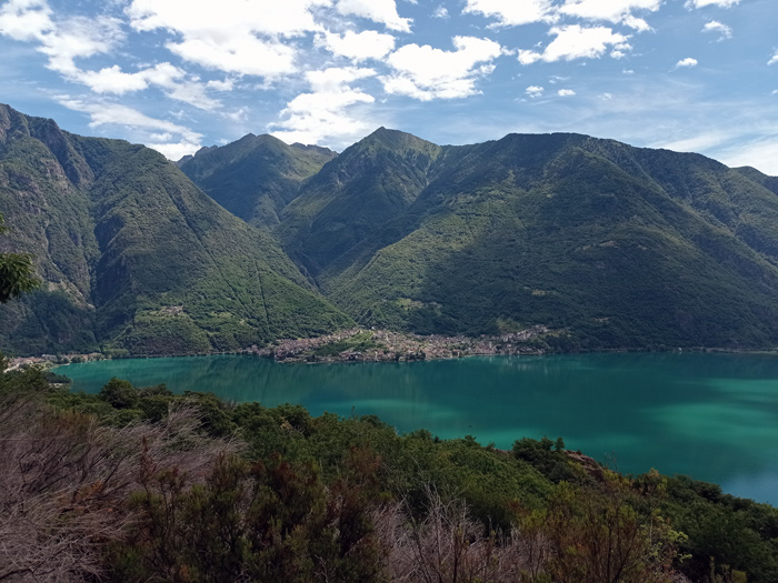
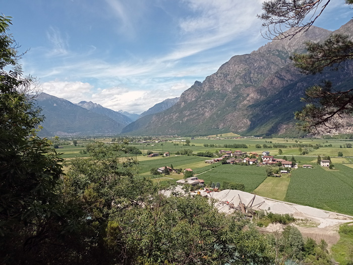
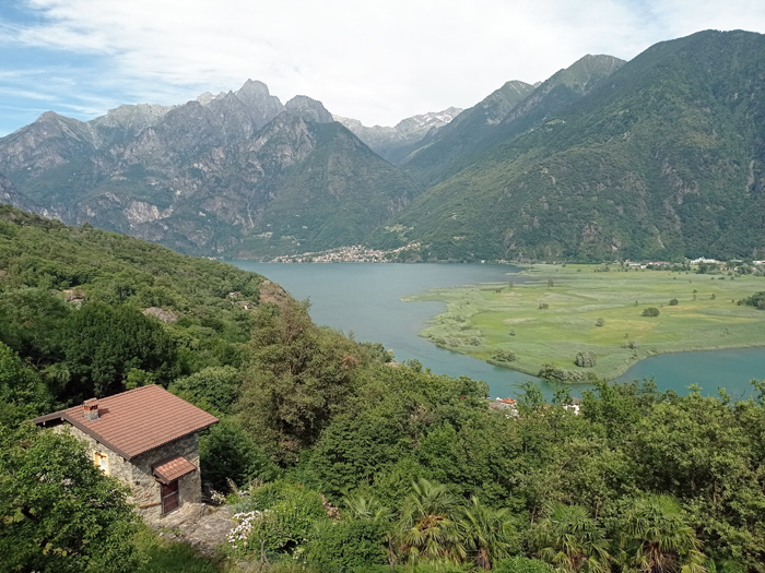
Interesting excursion in the woods of Sorico between splendid views of Pian di Spagna and Lake Mezzola, in search of the Tempietto of San Fedele (10th century) at the mouth of the Mera river. The trails are well-marked with directions and travel times, and we recommend: trekking shoes, a good supply of water and food. In the most demanding stretch (Salto delle Capre ↕ S. Fedelino variant EE) we go down for about a hundred meters on large collapsed boulders, being sure to use caution and follow the signs (red markings) on the rocks. In Sorico we can find the bus stops for Como and Colico (C110 | ASF Autolinee). In the winter we suggest starting from the hamlet of Dascio, shortening travel times by almost three hours.
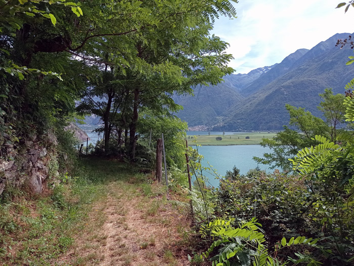
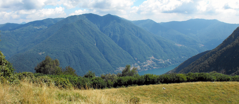
From the provincial road, we’ll reach the medieval Torre Nuova, going up towards the church of San Miro (15th century), and after passing Corzone (360 m) we’ll walk along a slightly flat stretch and then descend onto the asphalted road until the deviation for Dascio. Here, we pass through the woods accompanied by splendid views of the Pian di Spagna Nature Reserve, and after passing by a spring we’ll enter the town of Dascio, going up the town and following the signs for San Fedelino. After a short distance we can reach the Sasso di Dascio, where we’ll find a well-equipped rest area and a magnificent view of Pian di Spagna and Lake Mezzola.
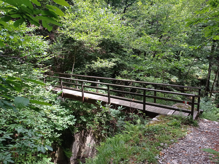
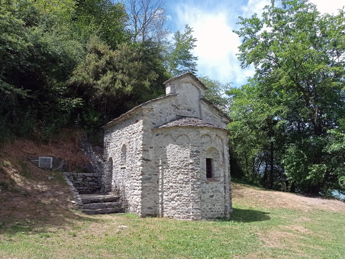
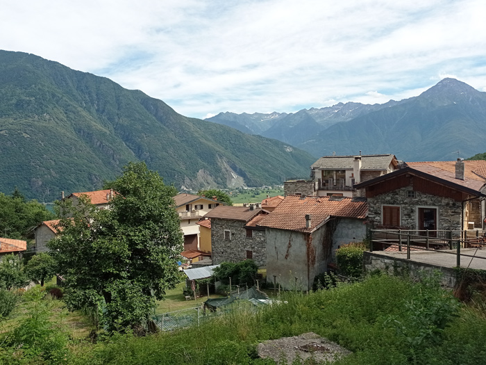
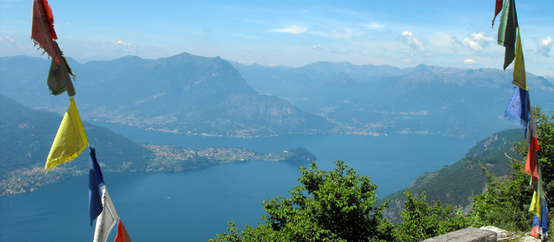
We’ll cross two deep valleys walking alongside ancient quarries and centuries-old chestnut trees then we’ll cross the panoramic ridge, and after a steep descent we arrive at the junction of the Salto delle Capre (Belvedere). The Belvedere is a one-of-a-kind natural terrace, and after a stop we’ll carefully descend among the rocks to the bank of the Mera river where we’ll finally find the small church of San Fedelino. We’ll continue north along the river, and with the help of two metal stairs we can overcome a rocky spur, and after a short stretch we follow the sign on the left that takes us back to the Belvedere junction. We go up the path that we’d previously covered, and at the crossroads we turn right towards Albonico where, ina short time, we then reach the first huts in the town. At the church of San Sebastiano, we’ll find a fountain and some benches, and after a well-deserved stop we can continue the descenton the carriage road towards Sorico.

The Sentiero del Viandante travels halfway up the eastern part of Lake Como, beginning in Abbadia and ending in Morbegno. To allow you to enjoy this these beautiful sites in total tranquility, the route is divided into six stages.
Sentiero del Viandante
The hike on the Strada Regia is not particularly difficult, and is instead easily doable at any time of the year, keeping in mind to avoid the hottest days of summer and snow in winter. In this guide we have divided the route into three stages.
Strada Regia
The trek to the ridge of the Lariano Triangle kicks off from Brunate and ends in Bellagio, the growth is about 37 km. which corresponds to 8/10 hours of walking, with some variations it is also possible to make the route with MTB.
Ridge Lariano Triangle