Grigna Peaks: Historic Huts and Strategic High-Altitude Shelters
Rifugio Luigi Bietti al Releccio – 1,719 m (5,640 ft)
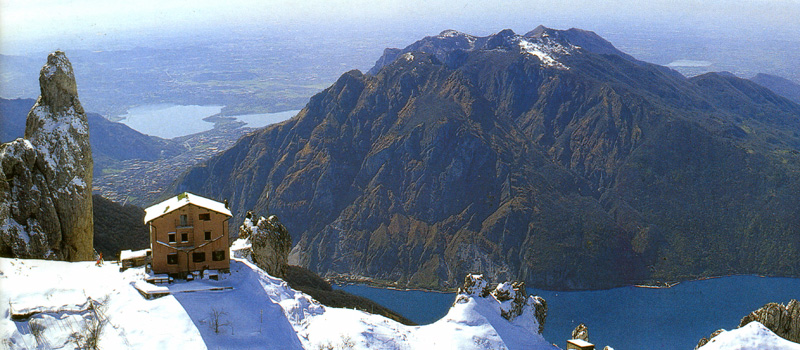
Managed by CAI Mandello Lario, this refuge stands at the center of the Grignone’s eastern amphitheater. It offers 22 beds with full hotel service and serves as a premier starting point for various summit routes, including the scenic Sasso dei Carbonari equipped path. Access: From Esino Lario or from Mandello del Lario via Trail #15. Season: Open daily in July and August; open weekends and holidays during the rest of the year. Tel: +39 0341 735741 | Beds: 22
Baita Riccardo Piazza – 767 m (2,516 ft)
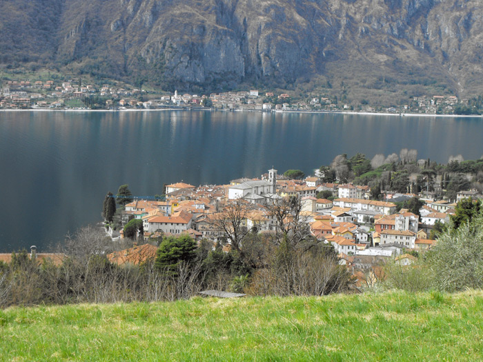
Situated next to the charming San Martino chapel, this mountain hut (managed by ANA Rancio-Laorca) offers a stunning overlook of Lake Lecco. It is a perfect, family-friendly destination accessible from Lecco. A fresh mountain spring is located just below the hut. Access: From Lecco (San Martino trail). Season: Open Sundays and holidays with restaurant and bar service. For info, contact CAI Lecco: +39 0341 363588 (Tue/Fri, 8:30 PM – 10:00 PM).
Bivacco Ugo Merlini – 2,144 m (7,034 ft)
This sturdy stone bivouac is located at Bocchetta della Bassa, approximately 30 minutes from the
Grignone summit. It remains always open, providing a critical emergency shelter with a small fireplace for
hikers caught in bad weather.
Access: Trail #33 from Pialeral or Trail #7 from Piani Resinelli.
Rifugio Soldanella – 1,354 m (4,442 ft)
Inaugurated in 1899, the Soldanella was the very first refuge built at Piani Resinelli. Originally
a base camp for Milanese pioneers exploring the Grigna, it remains a historic landmark.
Access: From Ballabio via the main road or Trail #4 from Val Grande (marked with
red and blue signs).
Season: Open daily from June through August; closed Tuesdays during the off-season. Evening
openings available by reservation.
Tel: +39 0341 531132 | Beds: 14

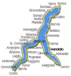
Mandello del Lario
 Zucco di Sileggio Loop
Elev: 1,180 m / 3,870 ft ↑
 Wayfarer’s Trail: Stage 1
Elev: 440 m / 1,445 ft ↑
 Cenghen Waterfall
Elev: 410 m / 1,345 ft ↑
 Onno - Mount Megna
Elev: 980 m / 3,215 ft ↑
View All Lake Como Hikes