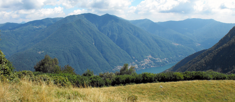
A wonderful hike that stretches from Onno to Mount Megna passing through the Alpe di Prezza Pino (647m), the Alpe di Monte (700 m) and the Alpe di Piano (940 m), then descending to Crezzo Lake and returning to the starting point in Onno along the street ‘Via Darniga’ (Path 1 | Crezzo - Onno). The route, if we exclude the descent from Crezzo to Onno, doesn’t present any difficulties. For the first leg of the trek the signs are few and far between but after reaching the Alpe di Monte the paths are very well-marked. We recommend wearing mountain shoes, taking an ample supply of water with you and postponing the hike in the event of bad weather. The departure is from Onno Port by boat (Navigazione Laghi) between April and October or by bus (LineeLecco) all year round.
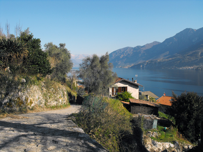
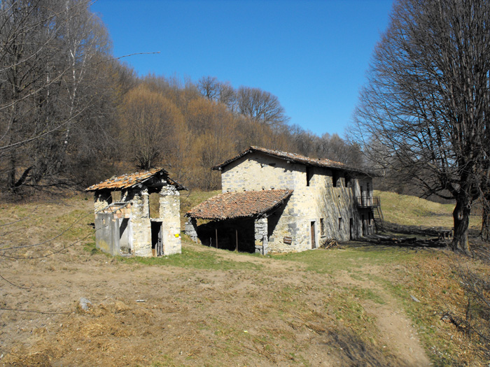
As you climb upwards, meandering between the houses of Onno village, you will find yourself immediately lost in a maze of alleyways but luckily, under the overpass, you’ll find a map of suitable paths. At this point turn left onto the road of ‘San Giorgio’ that ascends gently half way up the hill. After a couple of streams you’ll enter the woods, skirt a pasture and follow wide hairpin bends whilst continuing the ascent, all the while accompanied by magnificent views. You’ll arrive at a beautiful plateau in a forest full of chestnut and birch trees. After a short stretch, follow the sign on your left to ‘Valbrona’ and once you have arrived at the Alpe di Prezza Pino you will find the sign for Alpe di Monte. The Alpe di Monte, as well as being an enchanting place, is a crossroads from which you can reach: Maisano, Valbrona and the Corni di Canzo. However, continue your journey in the direction of Monte Megna.
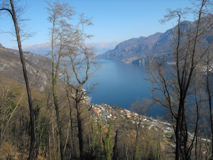
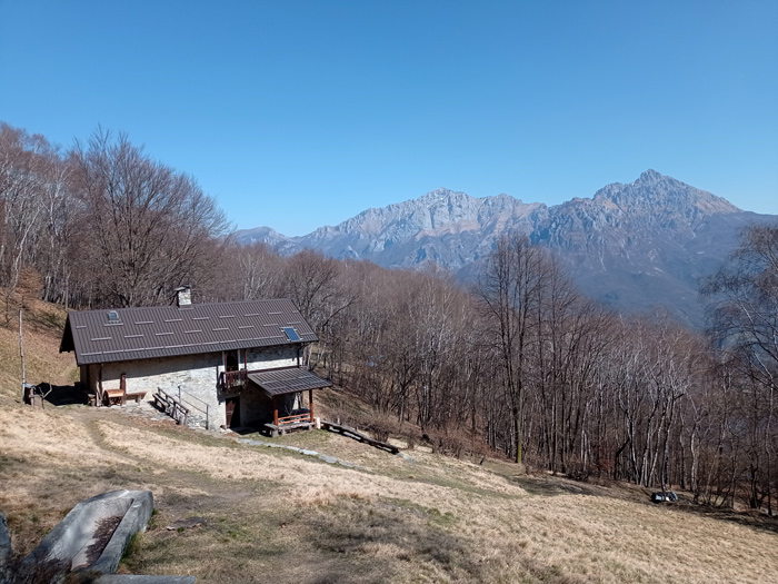
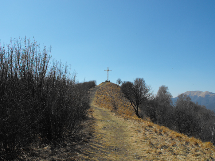
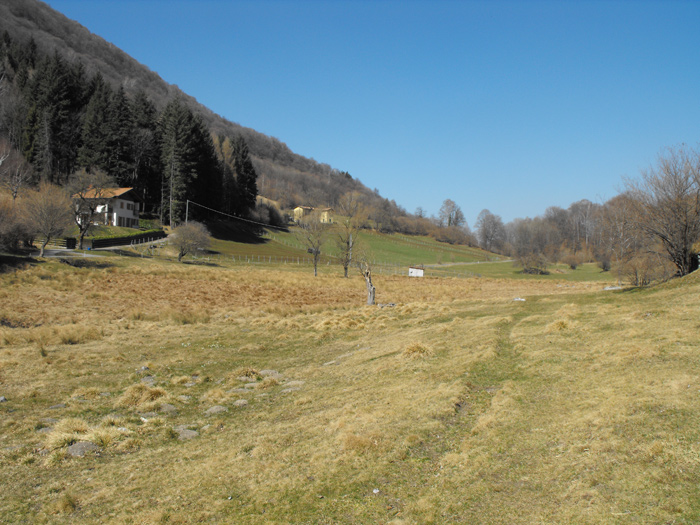
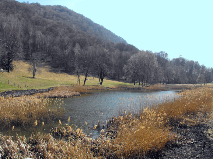
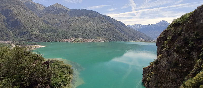
Once you have arrived at the huts of Alpe di Piano, follow the ‘DIRETTISSIMA’ (the fast road) to the left. You’ll trek steeply through a wooded larch forest, after the climb turn left and after a couple of bumps you’ll slowly begin to see the cross ontop of Mount Megna. At the top the view is magnificent in every direction! After a well-deserved stop we return to the fork, turn left and go down through the ‘Via Crucis’ towards the Crezzo basin. Leaving the woods, you’ll walk through the meadows of Crezzo until the small lake, then climb the paved road to Barni (via della Madonnina) and arrive at the Mausoleum, built in memory of the victims of the plane crash that occurred in 1987. From there, follow the signs for Onno (Via Darniga n.1) and begin the descent. Throughout this leg of the journey, we advise caution, as the signs are always clearly visible but the slopes and the exposed points are not to be underestimated.

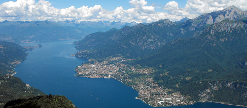
The Sentiero del Viandante travels halfway up the eastern part of Lake Como, beginning in Abbadia and ending in Morbegno. To allow you to enjoy this these beautiful sites in total tranquility, the route is divided into six stages.
Sentiero del Viandante
The hike on the Strada Regia is not particularly difficult, and is instead easily doable at any time of the year, keeping in mind to avoid the hottest days of summer and snow in winter. In this guide we have divided the route into three stages.
Strada Regia
The trek to the ridge of the Lariano Triangle kicks off from Brunate and ends in Bellagio, the growth is about 37 km. which corresponds to 8/10 hours of walking, with some variations it is also possible to make the route with MTB.
Ridge Lariano Triangle