Ring route hike that, departing from the Gajum spring (483 m) and climbing to the S.E.V. (1235 m), reaches the top of the Central Horn (1368 m) and then descends to the Terz'Alpe lodge (793 m) and returns to the starting point along the Geological path. The ascent to the Central Horn is only recommended for expert hikers, with the rock-climbing aspect being short but containing some exposed sections that should not be underestimated for those suffering from vertigo. The trails are well marked with white and red arrows (CAI Canzo), and we recommend starting with a supply of water, trekking shoes and postponing the excursion in case of bad weather. We can arrange the departure at the Canzo train station (Trenord | Milan - Asso), a 20-minute walk from the Gajum spring.
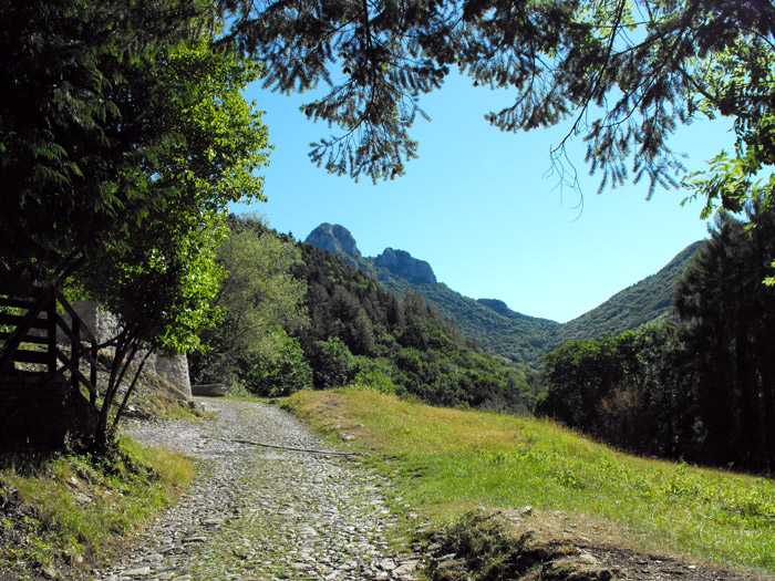
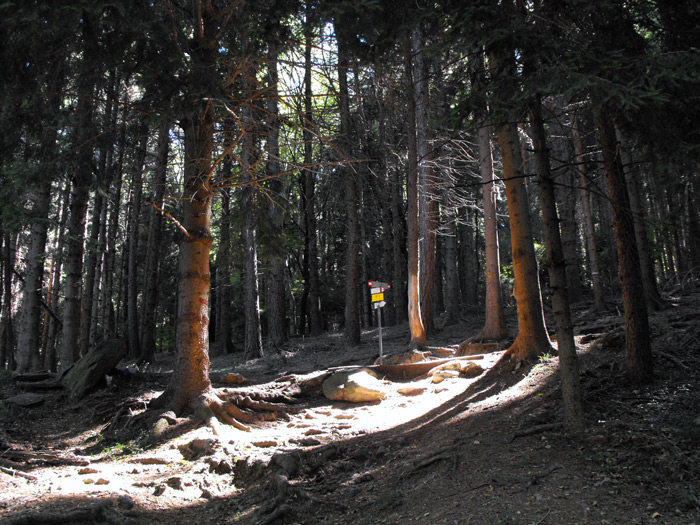
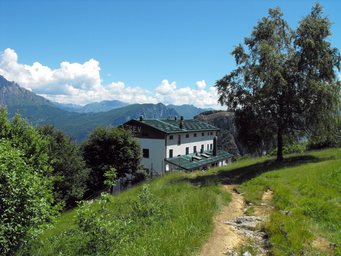
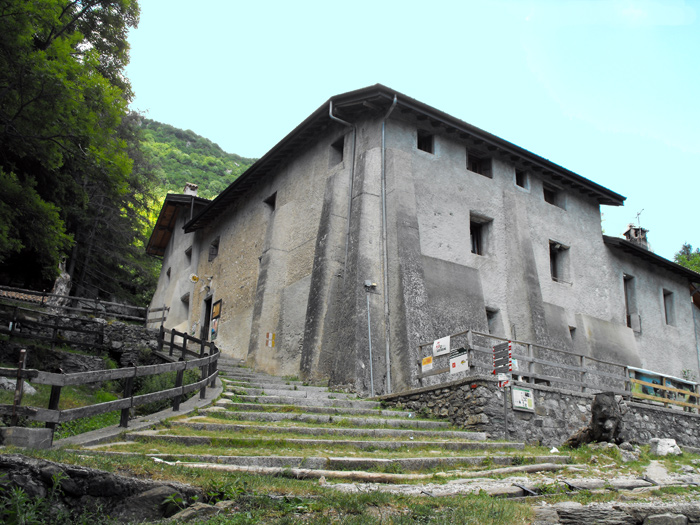
From the Canzo station we’ll reach the church of San Francesco, following via Gajum to the crossroads near the hotel La Sorgente where we then turn left onto the cobbled road that climbs into the woods. We go up following wide hairpin bends, and once past the farmhouse In Valentina we’ll enter a larch forest and without a whole lot of effort we can reach Prim'Alpe (718 m), the seat of the Center for Environmental Education as well as a crossroads for other paths. Just beyond the S. Gerolamo spring (728 m), we swing left on the steep path n.5 (Vetta dei Corni), and after passing a long wooded stretch, the slopes begin to attenuate, and we then walk along the northern part of the horns and leave the woods in the locality of Pianezzo, just a stone’s throw from the SEV lodge (Valmadreresi Hiking Company | Tel. 338 5063747).
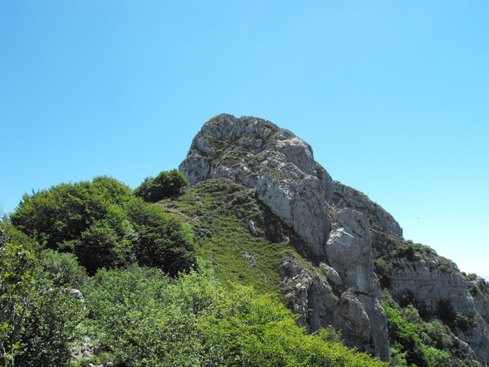
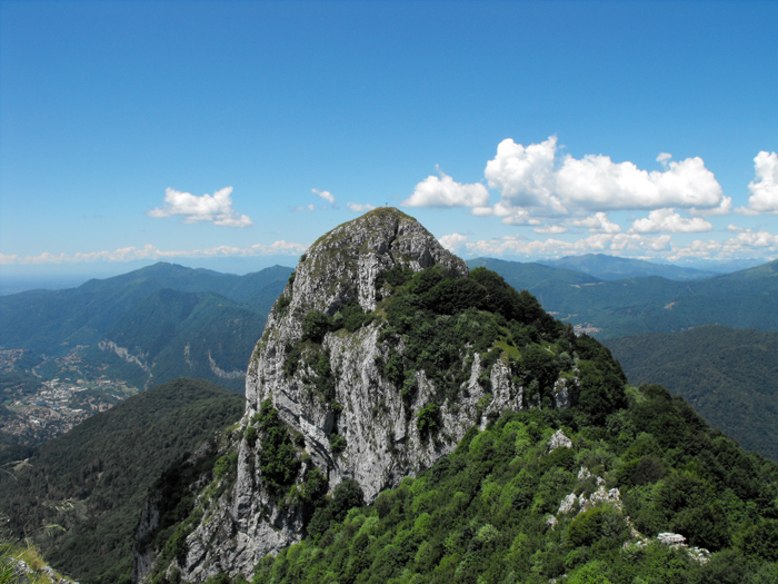
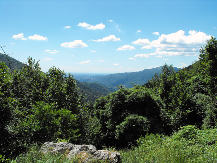
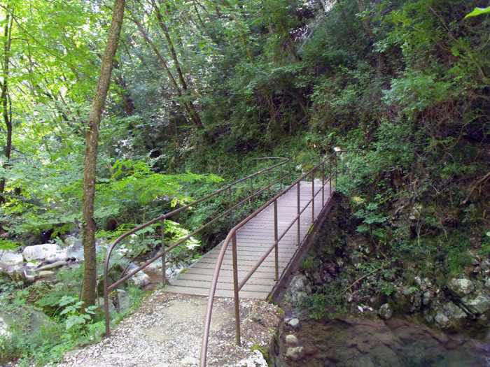
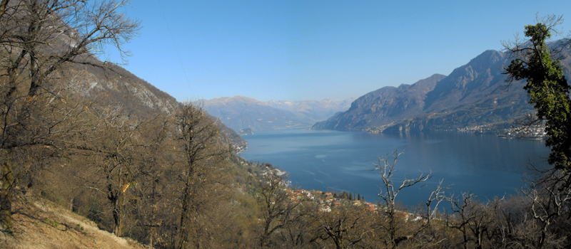
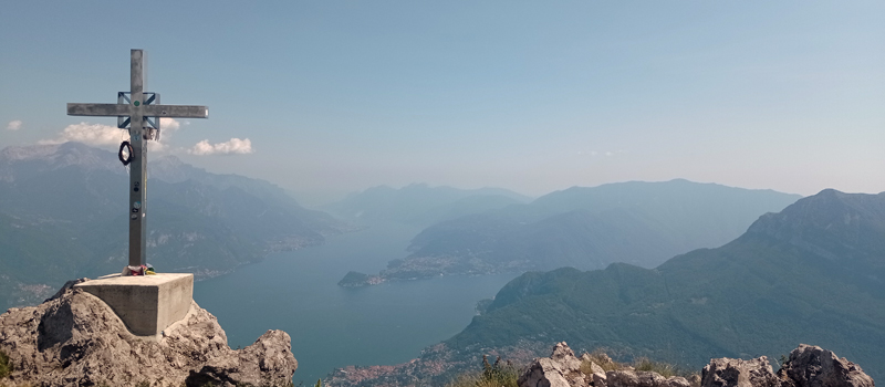
From the lodge, we’ll go up to the Forcella dei Corni (1300 m), turning left towards the Central Horn, and after having bypassed a huge boulder we’ll arrive at the foot of the rocky wall. After the first spur, we find a sign (← EE), and we’ll then head to the left and followingother red marks we climb through the rocks. On the top we can find a small cross and a magnificent 360° view of lakes and mountains, and after a little break we carefully head down the same path. Returning to the Forcella, we’ll walk alongside the Western Horn on theright, passing across a stone-covered road up to a beautiful clearing where we find path n.1 that goes down to Terz'Alpe. From the Terz'Alpe lodge we follow the Geological path that takes us back to Gajum passing through the valley floor of the Ravella stream, between bridges, small waterfalls and natural pools.

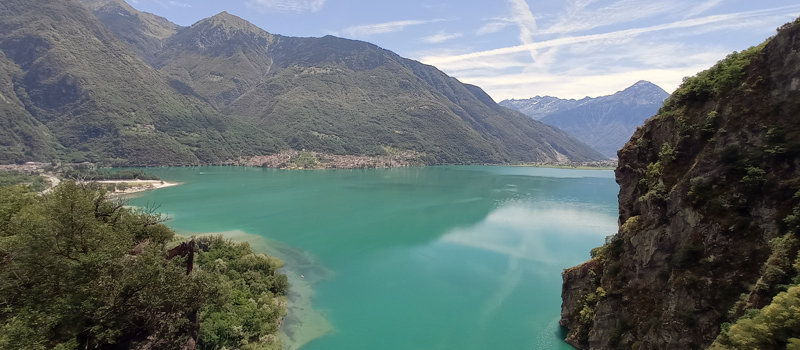
The Sentiero del Viandante travels halfway up the eastern part of Lake Como, beginning in Abbadia and ending in Morbegno. To allow you to enjoy this these beautiful sites in total tranquility, the route is divided into six stages.
Sentiero del Viandante
The hike on the Strada Regia is not particularly difficult, and is instead easily doable at any time of the year, keeping in mind to avoid the hottest days of summer and snow in winter. In this guide we have divided the route into three stages.
Strada Regia
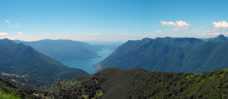
The trek to the ridge of the Lariano Triangle kicks off from Brunate and ends in Bellagio, the growth is about 37 km. which corresponds to 8/10 hours of walking, with some variations it is also possible to make the route with MTB.
Ridge Lariano Triangle