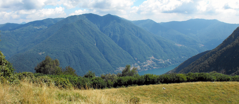
A panoramic hike that from Veleso (825 m) reaches the top of Monte San Primo (1682 m) the highest peak of the Triangolo Lariano. The excursion requires a good preparation/training and a decent orientation in following tracks along the mountain ridges. The route begins and ends at Veleso, a characteristic mountain town reachable by Provincial Road 44 from Nesso and from Piano del Tivano. There are no fountains or water sources along the way, therefore, we recommend bringing a good supply of food and water. There are white and red indication arrows, along with travel times at the crossroads. The most important are: Monti di Erno (1060 m), Forcoletta (1236 m), Monte San Primo (1682 m) and Monti di Là (1047 m). The most difficult path to identify is the one for Cresta Sud, from Monte San Primo to Monti di Là, unfortunately there are no indications on the summit.
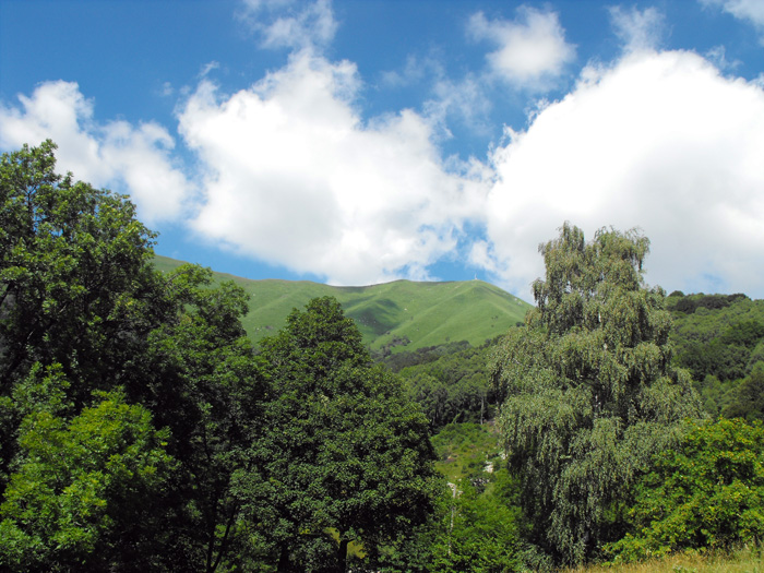
After passing the Veleso municipal building, we turn right toward Monti di Erno, to climb for a long stretch on a paved road to a panoramic point near Miralario cabin in Laorno di Sotto. The carable street ends in Monti di Erno where we find a lovely pond (La Bolla) and an important intersection. We follow the path to the right and climb into the woods towards the Forcoletta. Once on the clearing in 10 minutes (turn left) we can reach the top of Monte Colmenacco (1265 m), or follow the stretch to the right towards Piz del Luser (1405 m) on the north-west ridge of Monte San Primo.
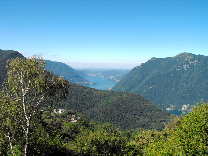
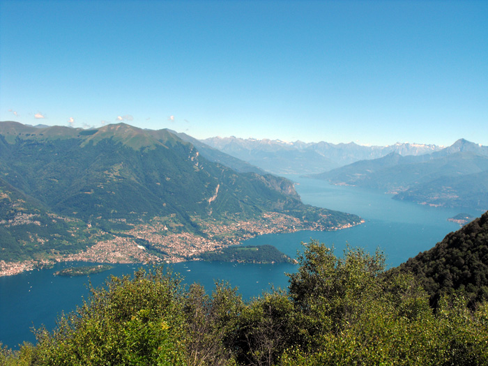
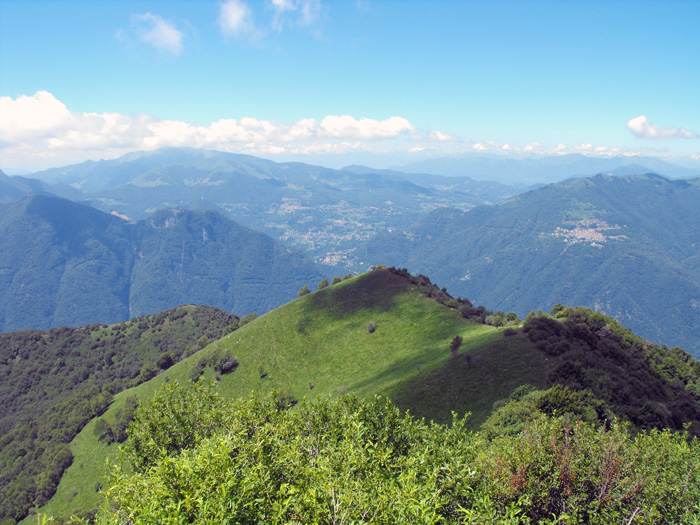
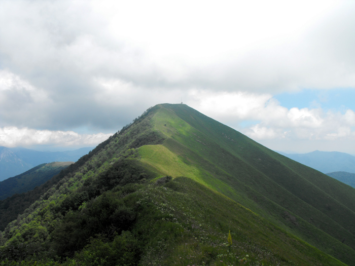
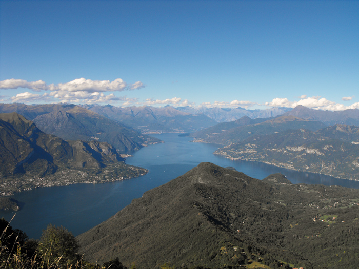
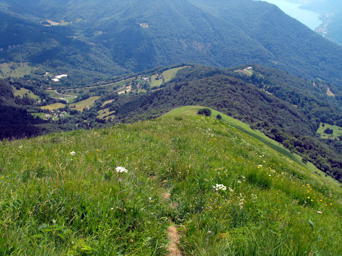
The path climbs very steeply, after Piz del Luser there are amazing views everywhere you look: to the north, the center and Alto Lario, to the west, the branch of Lago di Como and to the south the mountains of the Dorsale Lariana. We keep walking east trying to not lose sight of the path. After climbing a couple of hills we catch a glimpse of the mountain summit. With one last effort we arrive at the top of Monte San Primo, we pass the arrows for the Martina Refuge, and near the fence around the antennas, we find the track for the south ridge. We head down keeping as landmarks the center of the ridge and a group of isolated trees, at the end of the steep descent we enter a beech forest. A turn to the right leads us onto the dirt road of the Monti di Là, where we travel slightly downhill along the path and return to the starting point.

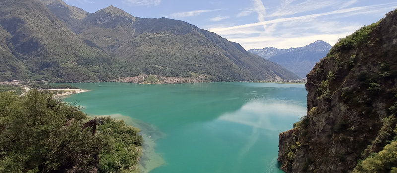
The Sentiero del Viandante travels halfway up the eastern part of Lake Como, beginning in Abbadia and ending in Morbegno. To allow you to enjoy this these beautiful sites in total tranquility, the route is divided into six stages.
Sentiero del Viandante
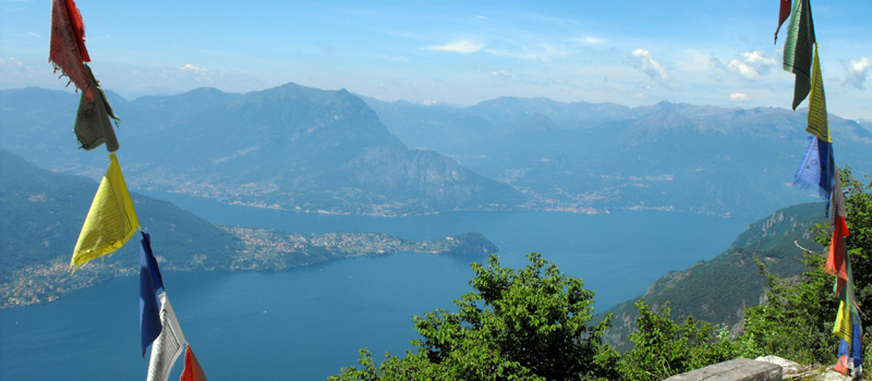
The hike on the Strada Regia is not particularly difficult, and is instead easily doable at any time of the year, keeping in mind to avoid the hottest days of summer and snow in winter. In this guide we have divided the route into three stages.
Strada Regia
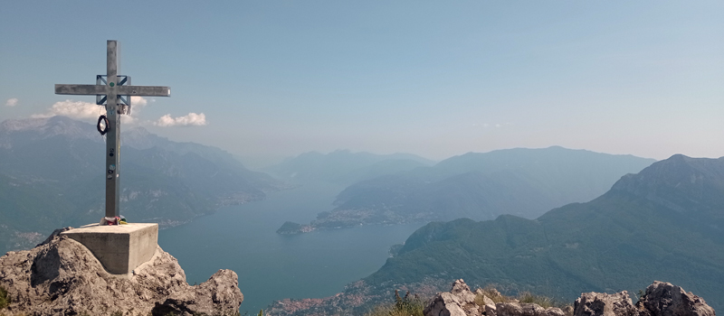
The trek to the ridge of the Lariano Triangle kicks off from Brunate and ends in Bellagio, the growth is about 37 km. which corresponds to 8/10 hours of walking, with some variations it is also possible to make the route with MTB.
Ridge Lariano Triangle