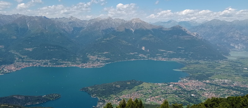
A panoramic hike along the eastern mountains from Lago di Como through the territories of Dervio and Bellano. The excursion does not present difficulties but requires good training. It travels paved and gravel roads, paths and mule tracks. From Dervio (206 m) to Cascine di Pratolungo (870 m) the path climbs steeply into the woods, once past the Alpe di Pratolungo (1025 m) the climb becomes easier and the panoramic stretch begins. From Camaggiore (1190 m) we head down to Noceno (835 m) and return to Cascine Pratolungo, traveling a long stretch halfway up the slope. There are some drinking water fountains along the way, but we recommend bringing a good supply of water with you, as well as wearing hiking clothes and shoes.
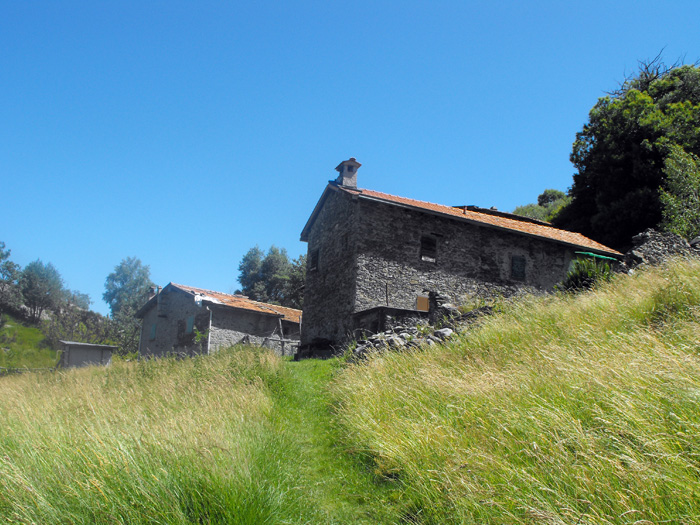
From the Dervio station we ascent toward the castle, and turn right onto Via Armando Diaz, and we find the arrows (white and red) with the path signs at the church of Santi Quirico & Giulitta. The path climbs in serpentines to the houses of Pianezzo (348 m) where we pass the turn for Mai, then at the intersection we turn right toward Cangiago. That stretch climbs in the woods, alternating a nice paved bottom at stone steps, and after a short time we reach Monte Basso (Cangiago), and continue to climb following a torrent through a fairytale setting of well-manicured meadows and beautiful mountain chalets. When we get to Cascine Pratolungo we follow the signs for l'Alpeggio, crossing the streams and turn right onto the dirt road at the clearing at the top.
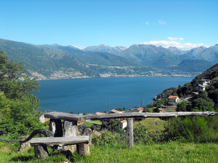
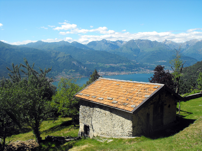
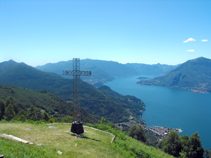
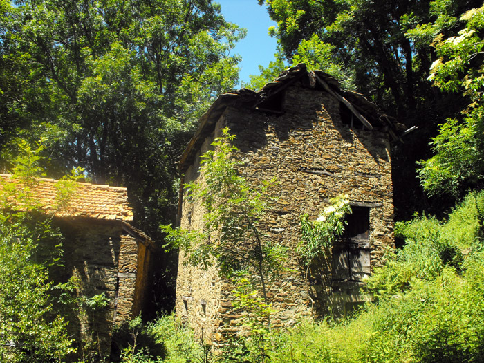
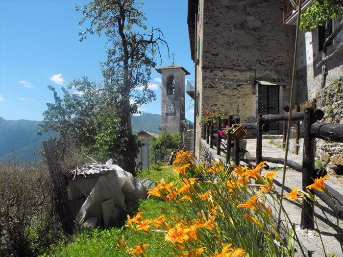
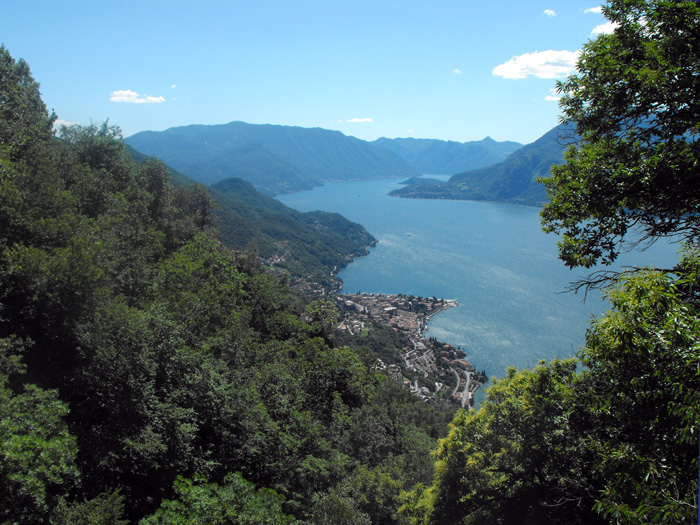
Once at Casera di Pratolungo we have two options: continue down the dirt road taking a spacious panoramic walk, or climbing up a mule track through a woods of ferns and birch trees. Both paths converge onto the splendid Conca di Camaggiore. From there we arrive at the church of San Girolamo and the cabins of Camaggiore. At the fountain in the middle of the houses, we can take a break and relax. Not much further down the road we find an arrow to the left which indicates the way to Noceno. We go down to the woods and after a few curves we reach the ruins of ancient Camaggiore. Continuing down to Noceno, passing the church of San Gregorio and the cemetery, we follow the path to the right, which with a long stretch half way up the slope, takes us back to the Pratolungo crossroads.

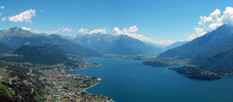
The Sentiero del Viandante travels halfway up the eastern part of Lake Como, beginning in Abbadia and ending in Morbegno. To allow you to enjoy this these beautiful sites in total tranquility, the route is divided into six stages.
Sentiero del Viandante
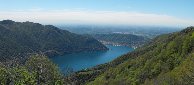
The hike on the Strada Regia is not particularly difficult, and is instead easily doable at any time of the year, keeping in mind to avoid the hottest days of summer and snow in winter. In this guide we have divided the route into three stages.
Strada Regia
The trek to the ridge of the Lariano Triangle kicks off from Brunate and ends in Bellagio, the growth is about 37 km. which corresponds to 8/10 hours of walking, with some variations it is also possible to make the route with MTB.
Ridge Lariano Triangle