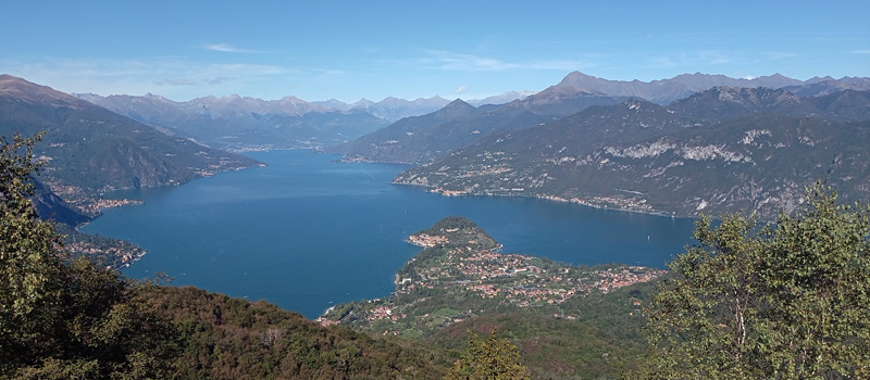
A truly interesting trek, for both its natural and panoramic interest, which crosses the summit of Monte San Primo (1681 m.) the highest peak of the Triangolo Lariano, the hike is well-marked with arrows and white and red signs (paths n.1, n.39). The descent from San Primo to the Alpe dei Picett is the most challenging stretch due to the considerable difference in height - in case of rain or slippery terrain, it’s best to consider not completing the entire loop, and head back down the path travelled thus far. This guide considers the starting point at the ski lift parking lot, near the bar-restaurant La Baita. Feel free to choose another starting point, or to travel the loop in the opposite direction.
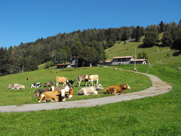
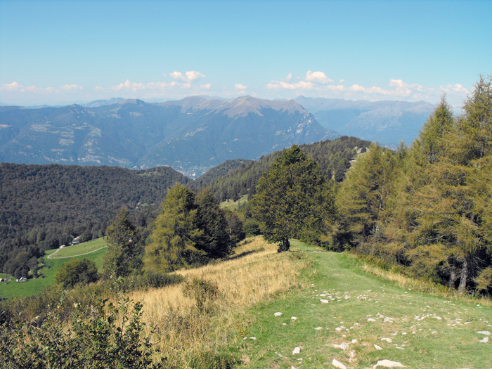
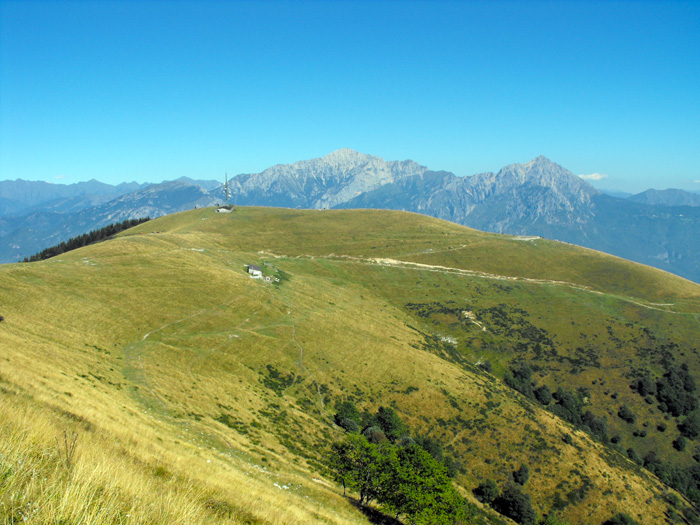
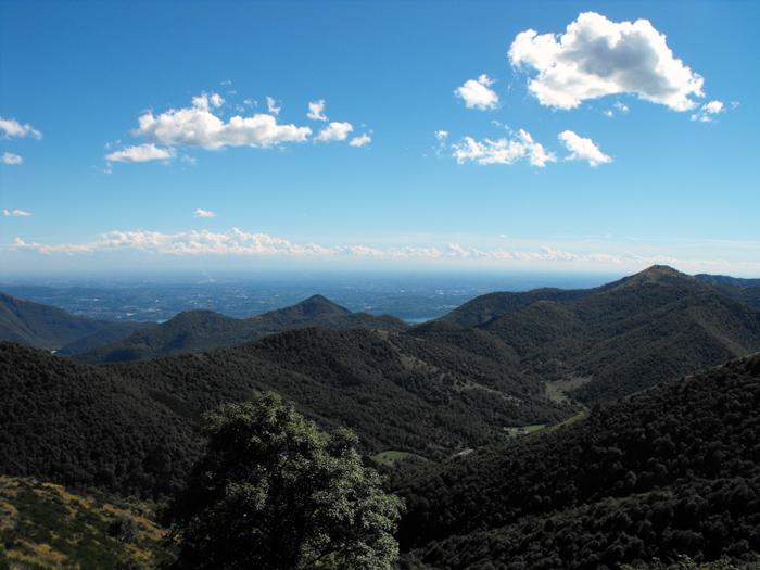
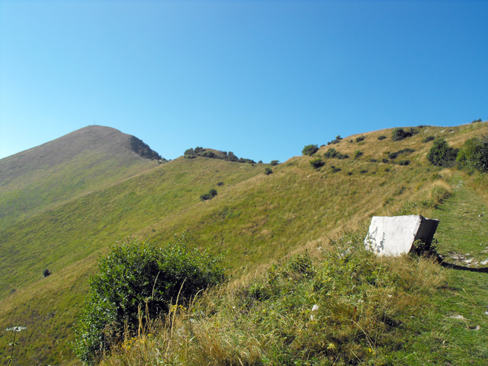
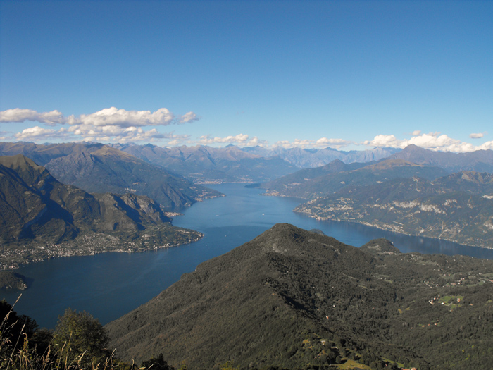
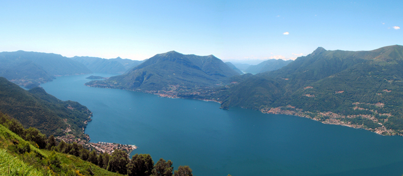
From the parking lot, we can make and initial evaluation of the path awaiting us, looking from left: the antenna on the top of Monte Ponciv (1452 m.), the long, eastern ridge and the summit of Monte San Primo (1681 m.). We begin the climb along the paved road, before reaching the Alpe del Borgo stall, we make a right along the mule track which climbs and winds among the rocks. Once in the woods, the climb flattens out a bit becoming much easier, and once we’ve arrived at a rocky cleft, we come across an intersection of paths, and follow the signs on the right towards l'Alpe di Terrabiotta and the Vetta del San Primo. Leaving the woods behind we continue to climb along a quarry, some amazing views of Lago di Como pop up behind us, and with one last effort we reach the Bocchetta di Terrabiotta (1435 m.). The view from Alpe di Terrabiotta is incredible. On clear days, looking south you can see Milan with its sky scrapers, looking east Lecco and the Gruppo delle Grigne, and north, Centro and l'Alto Lario.
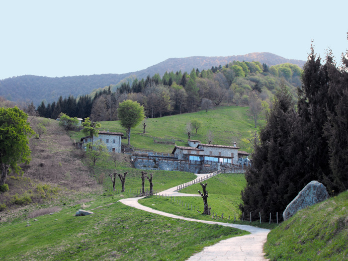
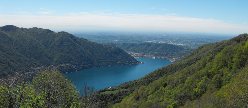
We continue walking west, the path slowly climbs on a beautiful stretch along the ridge, after having passed the panoramic spot, we face the final climb for the summit of Monte San Primo. From the top we enjoy a magnificent view in every direction, and quickly find the mule track that heads down toward the Martina Refuge on the Alpe dei Picett. It is a steep path down and there are a few stretches that get lost among the trees, we therefore recommend maximum caution. Once arriving at the Martina Refuge we can take a break and rest. We come back down the Alpe dei Picett along a paved road until Alpe delle Ville, and we walk around the Bonomelli colony to find the parking lot from where we started our hike.

The Sentiero del Viandante travels halfway up the eastern part of Lake Como, beginning in Abbadia and ending in Morbegno. To allow you to enjoy this these beautiful sites in total tranquility, the route is divided into six stages.
Sentiero del Viandante
The hike on the Strada Regia is not particularly difficult, and is instead easily doable at any time of the year, keeping in mind to avoid the hottest days of summer and snow in winter. In this guide we have divided the route into three stages.
Strada Regia
The trek to the ridge of the Lariano Triangle kicks off from Brunate and ends in Bellagio, the growth is about 37 km. which corresponds to 8/10 hours of walking, with some variations it is also possible to make the route with MTB.
Ridge Lariano Triangle