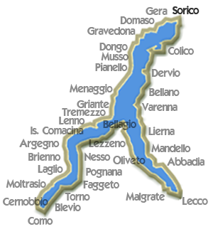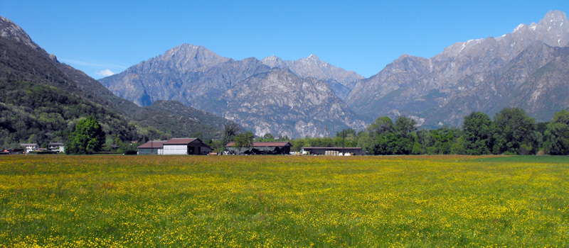
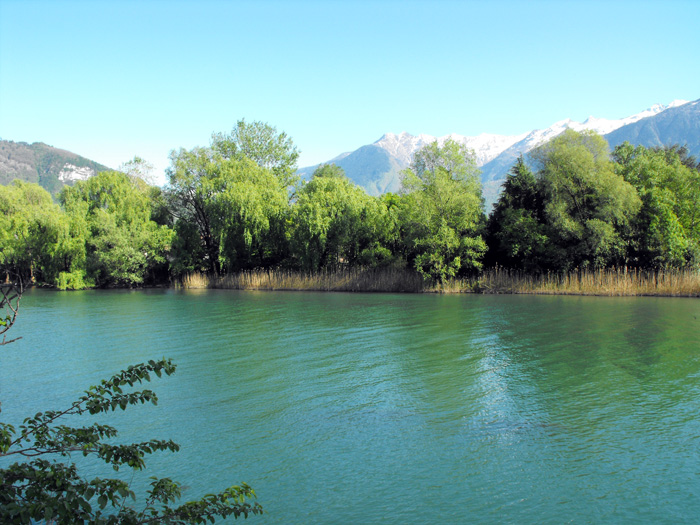
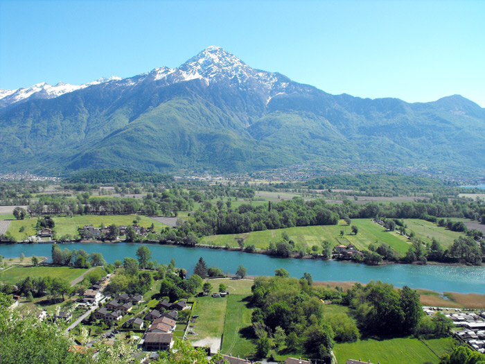
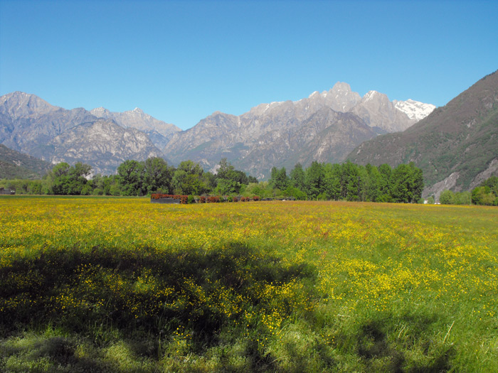
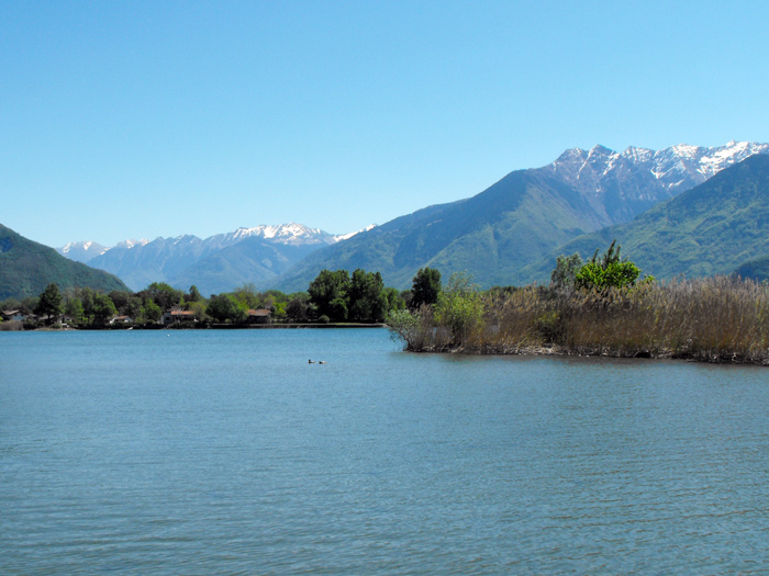
The Pian di Spagna is a flood plain with an area of almost 1600 hectares. Situated between the Adda and Mera rivers, as well as between the northern part of Lake Como and the adjacent Lake Mezzola, it marks the point at which the Val Chiavenna and Valtellina meet. The Pian di Spagna spans five different municipalities: Gera Lario and Sorico in the province of Como, and Novate Mezzola, Dubino, Verceia in the province of Sondrio. The Pian di Spagna and Lago di Mezzola nature reserve was created in 1983 by the Lombardy Regional Authority. The reserve serves as a rest stop for migrating birds and helps ensure the preservation of the area's flora and fauna.
From a geological point of view, the Pian di Spagna was formed relatively recently. During the Roman era, Lake Como and Lake Mezzola formed a single body of water. Over the centuries, however, floodwaters from the river Adda caused mud and rock to accumulate, leading to the formation of a marshy plain. As well as being impossible to cultivate, however, the area was infested by malaria, making it practically uninhabitable. Accordingly, under the reign of the Austrians in the 19th century, major land reclamation and drainage work was carried out. The river Adda was diverted so that it emptied into the northern part of Lake Como, while the same period saw the construction of the Borgofrancone canal, which conveys waters from Mount Legnone.
The waters of the reserve contain reeds (phragmites australis) and water lilies, while its plains contains corn plots, hay meadows, fruit trees, willows, holm oaks, poplars and oaks. With its great variety of vegetation, the Pian di Spagna is also home to a large number of different bird species, including ducks, swans, and cormorants on the lake itself, white throated dippers and kingfishers closer to the rivers, blue tits, starlings and swallows in the reed beds, and chaffinches, crows, woodpeckers and blackcaps in the bushes and hedgerows. The reserve is open the whole year round. On some routes, the presence of an official reserve guide is recommended.
PIAN DI SPAGNA AND LAGO DI MEZZOLA NATURE RESERVE
Via della Torre, 1/a - 22010 Sorico (Como) Tel. 0344 84251
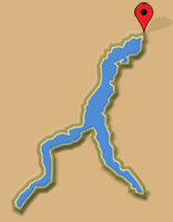
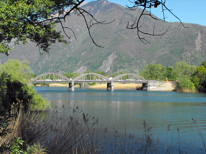

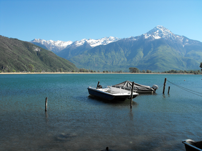

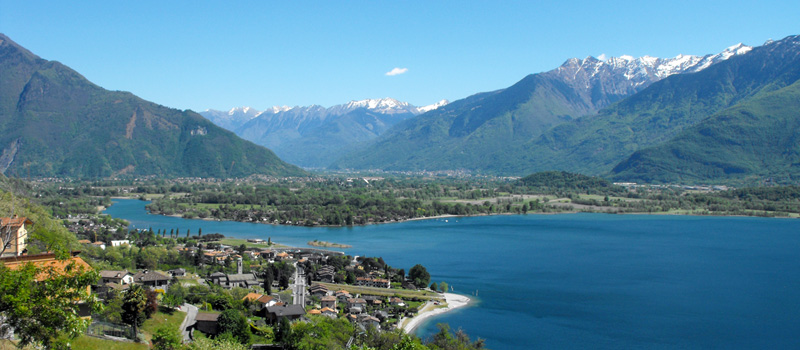
The town offers an excellent range of accommodation options, restaurants, private lidos and beaches with bathing facilities. Its splendid position and reliable wind make Gera Lario an ideal spot for sailing, windsurfing and kitesurfing.
Gera Lario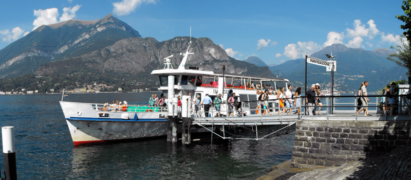
Various theme cruises are organized by the Lake Navigation Management, besides the normal lake navigation service, in July and August, it is possible to take a cruise on the Concordia with restaurant service.
Navigation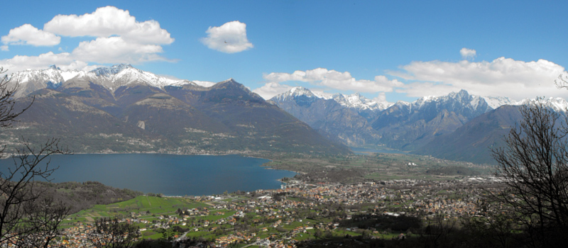
Colico is a very important tourist center, and proven by the optimal accommodation resources presented throughout its territory. The winds that characterize this area render the waters of Colico an excellent regatta site.
Colico