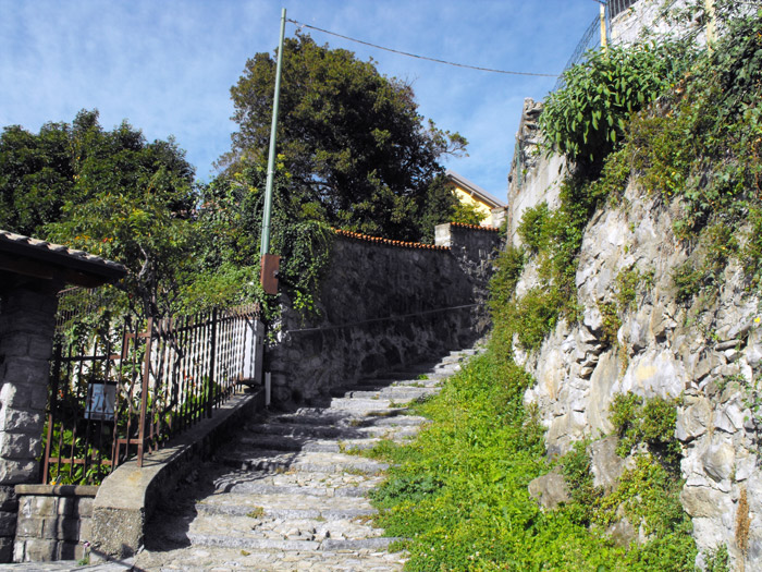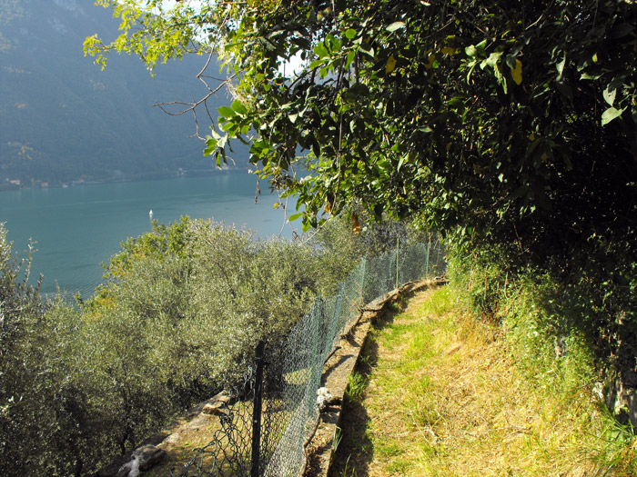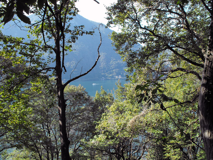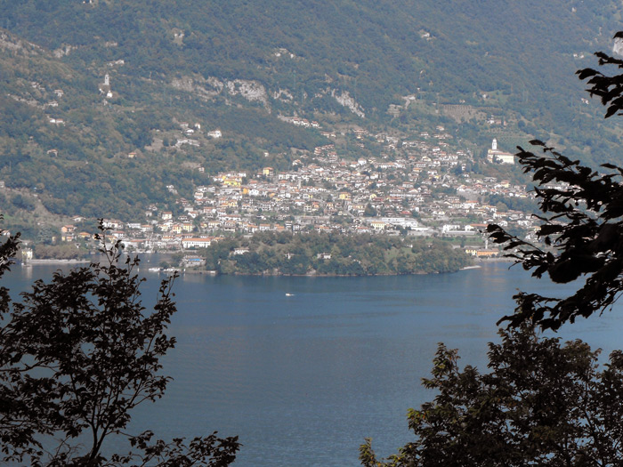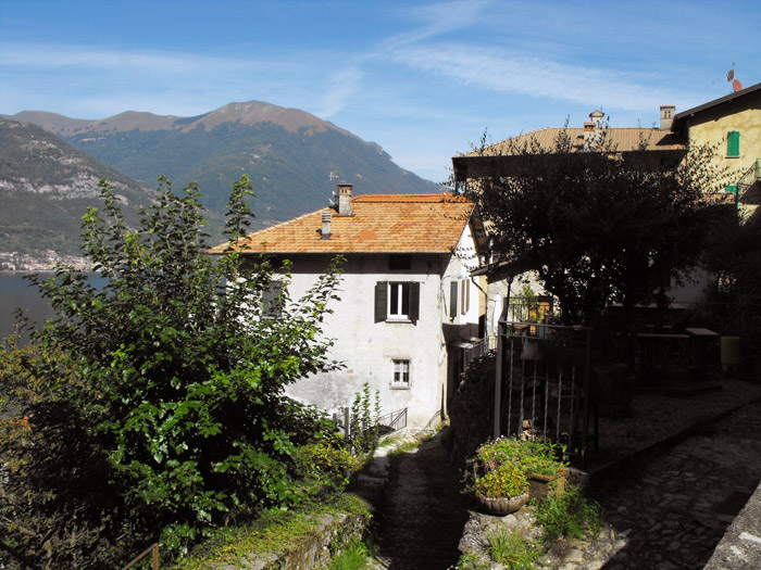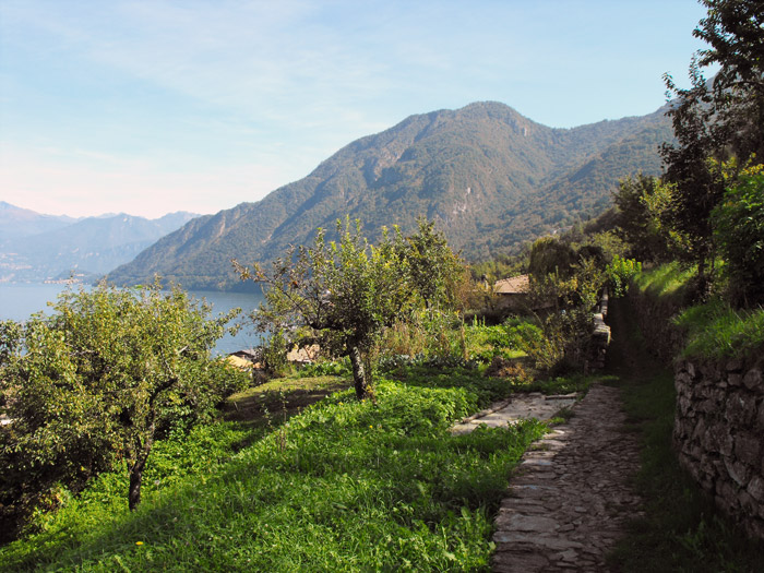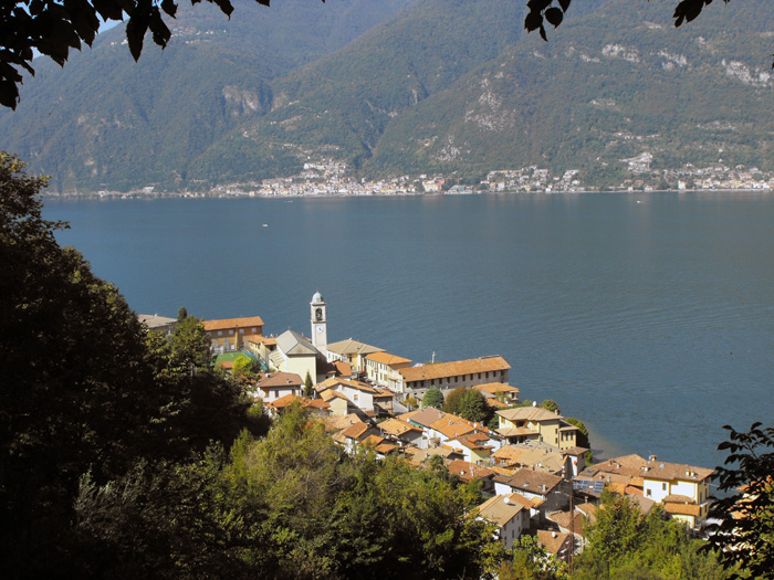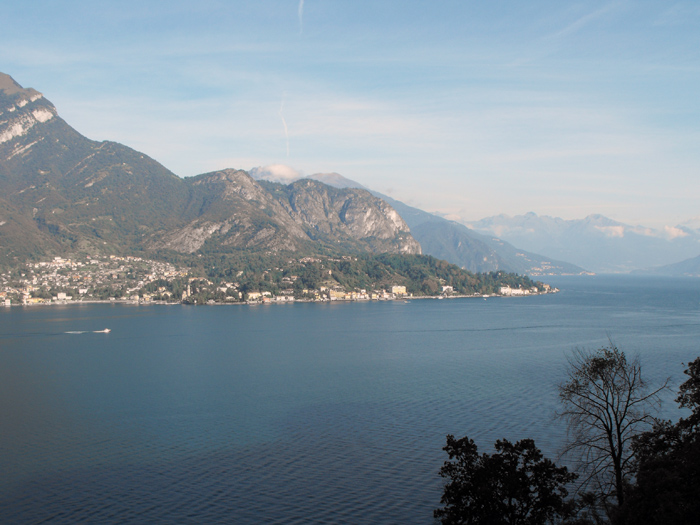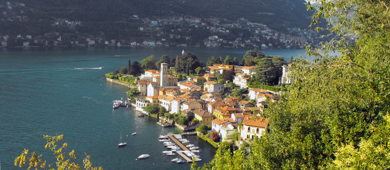
The third stage of the journey on the Strada Regia offers us the possibility to choose between two variations of the route, with the tracks starting from the bridge over the Orrido di Nesso and coming back together at the Muro farmhouses. For the high variant, from the bridge over the Orrido we climb the stairway (Salita al Municipio) leading to the hamlet of Lissogno and we pass by Via della Castagna until we cross the road to Pian del Tivano. At the crossroads we turn left to the church of Santa Maria, where just beyond the hamlet of Vigo the path then enters into the woods and after a good stretch it crosses the mule track that goes up from Via Borgonuovo.
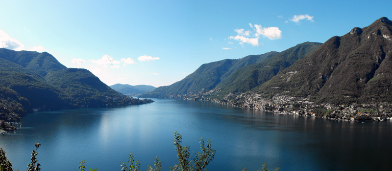
Taking the low variation, from the Orrido di Nesso we descend towards the lake, and going from the bridge of the Civera we walk along via Coatesa and Via Borgovecchio to the church of Santi Pietro e Paolo. Proceedng carefully on the Strada Provinciale 583, once we reach a small chapel we turn right onto the path that goes up into the woods. After passing a long uphill stretch we reach the Punta della Cavagnola, where the western end of the Monte San Primo ridge enters the waters of the Lario. We are in the territory of Lezzeno, the first fraction we meet is Carvagnana, nearby is the mule track that goes up to Sasso Calvarone and the Alpe di Colmenacco. We continue through the villages of Sormazzana and Calvasino, in a short time we reach Bagnana where the Nautical Museum of Cantieri Molinari is located.
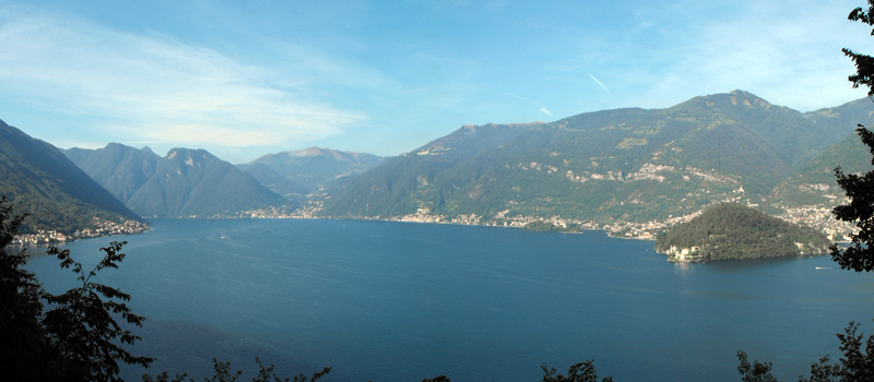
Following the Strade Provinciale 583 up to the church of Santi Quirico and Giulitta, just behind the parish we follow the road signs for Rozzo where we finally reach the church of the Madonna dei Ceppi. From the little church we go down to Cendraro and Casate, after a short stretch on the Strada Provinciale 583 we turn to the left and climb Mount Nuvolone to the coast through the Sassi Grosgalli area. After passing a waterfall and a beautiful vantage point in the middle of Lake Como, we go down towards the Devil's Bridge (Bellagio) where the Strada Regia ends. Near the car park on the Strada Provinciale we find the bus stops for Como and Bellagio. To reach Bellagio on foot you need to continue on the Strada Provinciale 583 for about two kilometers, and given that the road is busy and without a sidewalk, we suggest using the bus or going about it in a different way.
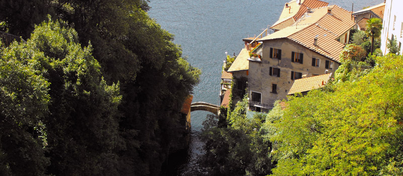
Nesso has many tourist attractions, we recommend the Ravine Cascade, visible from Piazza Castello and from the Medieval Civera bridge on the shore of Lake Como, reachable from the villages of Riva and Coatesa.
Nesso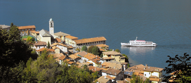
Lezzeno stands on the western shore of Lake Como, is also famous for a gastronomic specialty: Missoltini, fresh water fish (shad) - sun dried and grilled. There are many artisan businesses, from the ship yards to car mechanics.
Lezzeno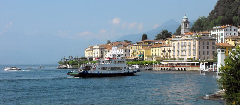
Bellagio is Lario's central headland cape of Lario, by far one of the most beautiful tourist places, not only of Lake Como, but of the entire world. Its beauty has been praised, since the 16th century, by Italian and foreign visitors.
Bellagio