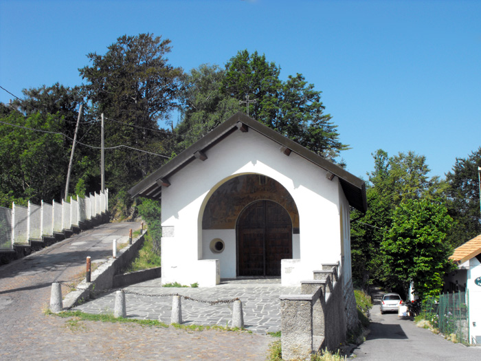
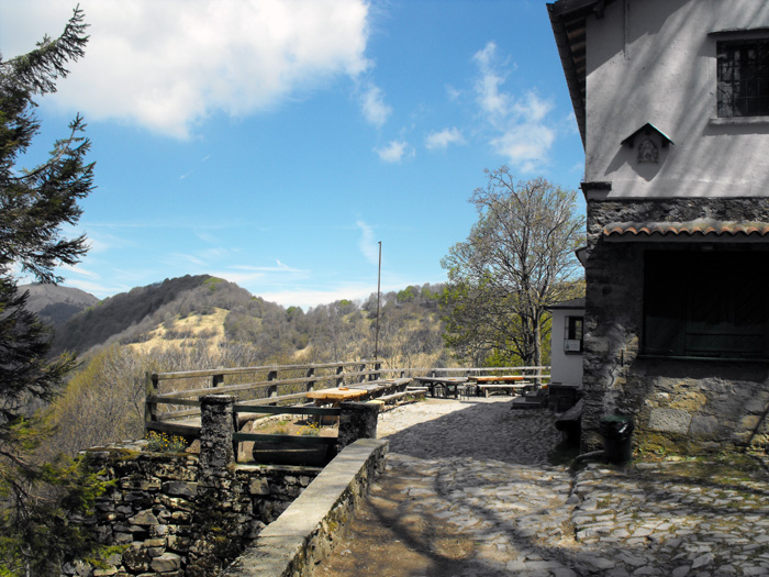
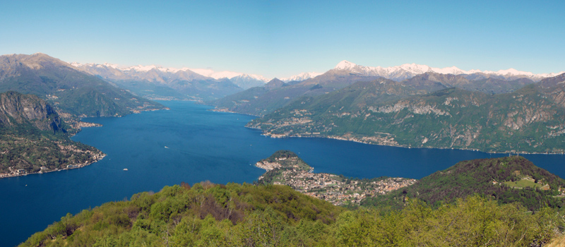
Taking the funicular car from Como we reach Brunate and in a few minutes, from the shore of the lake, we climb up towards the balcony of the Alps. From there, the magnificent panorama is an excellent premise for starting this trek on the ridge of the Lariano Triangle. From Brunate we follow the signs for San Maurizio and the Voltiano Lighthouse, where the mule track climbs up between the beautiful villas of the town and in some places crosses the carriage road. After a visit to the Voltiano Lighthouse we keep going on the path that from the church of San Maurizio arrives in the Sanctuary of Santa Rita near the Rifugio Capanna CAO. We continue on the path of the Baite, and upon passing the Baita Carla we find ourselves at a fork, where by turning left it is possible to go down to Torno passing through Montepiatto. We’ll go straight and in a short time we can reach the Baita Bondella situated in a splendid panoramic position.
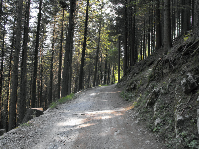
After having passed the Baita Fabrizio we have two possibilities, one of which is to climb to the top of Mount Boletto (1236 m.) towards the West Ridge, or to turn left on the path that goes around the mountain. Both paths rejoin before the Bocchetta di Molina where we find the mule track going down towards Molina di Faggeto. After a short stretch the path forks again, and on the right we go up the Dorsale delle Creste, reaching the peaks of Mount Dosmat (1282 m.) and Mount Bolettone (1320 m.). On the left we trek along the panoramic Sentiero dei Faggi, which runs across the northern slope of the Bolettone up to the Bocchetta di Lemna.
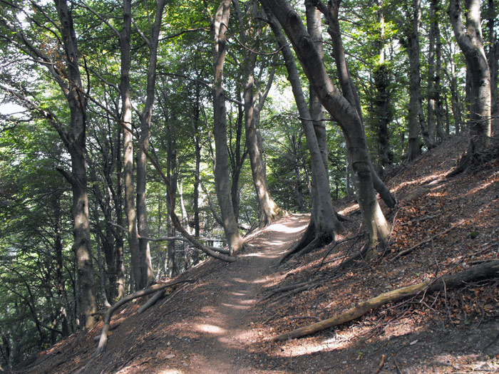
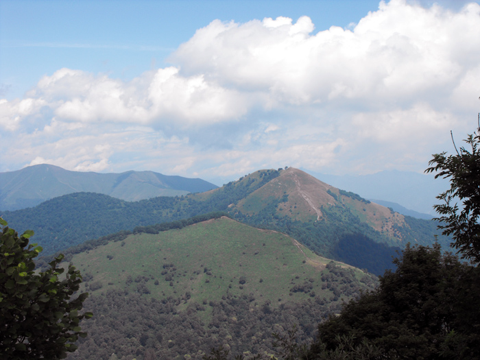
At the Bocchetta di Lemna (1115 m.) we come across the most important crossroads of the stage. About a three-hour walk from Brunate and two hours from Colma di Sormano, we can head down towards Lemna di Faggeto or reach the Rifugio Capanna Mara and in two hours finally get to Erba. We’ll remain at high altitude and we continue for the Pizzo dell’Asino (1270 m.), and we get near the Bocchetta di Palanzo we then cross some other paths that go down to the left in the direction of the lake and right there on the opposite slope in direction of Caslino d'Erba and Asso we skirt along Mount Palanzone, passing through the Rifugio Riella. Continuing we start to see Monte Preola on the left (1413 m.), and in front of us the Monte San Primo (1681 m.). Having reached Braga di Cavallo an arrow to the right indicates us towards the descent to Monte Pianchetta, past the Colma di Caglio, finally reaching the Colma di Sormano, and after turning left on the provincial road we descend towards the Piano del Tivano.
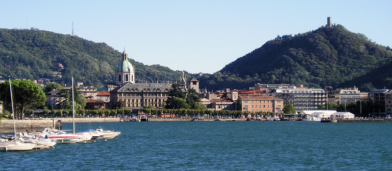
Como is the city which gives the name to the entire lake, arriving by train to the Como Lago station, you can easily admire all of the marvels of the city going by foot. We recommend a visit to Brunate and Volta Temple.
Como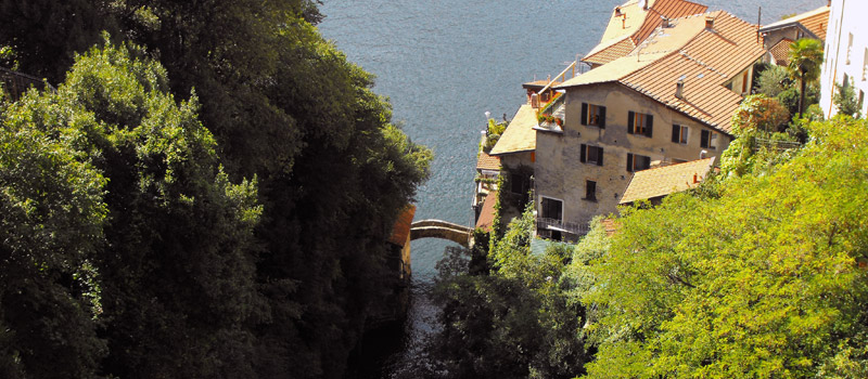
Nesso has many tourist attractions, we recommend the Ravine Cascade, visible from Piazza Castello and from the Medieval Civera bridge on the shore of Lake Como, reachable from the villages of Riva and Coatesa.
Nesso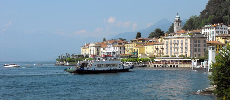
Bellagio is Lario's central headland cape of Lario, by far one of the most beautiful tourist places, not only of Lake Como, but of the entire world. Its beauty has been praised, since the 16th century, by Italian and foreign visitors.
Bellagio