The low variant of the second stage of the Sentiero del Viandante starts from Via Genico to Lierna and finishes in Varenna in the hamlet of Vezio. Following the established route, from Via Genico we turn left towards the villages of Ciserino and Giussana and after a short asphalted stretch we follow the road signs to the right for the mule track that passes through above the Castle of Lierna. The alternative route that allows us to visit the Castle of Lierna picks up from Via Genico, goes down to the train station and continues on Via Ducale to the village of Castello, and then from Via Riva Bianca we eventually reach Via Roma (SP 72). At the little temple we turn to the right for Ronco and go up towards the path leading to Coira.
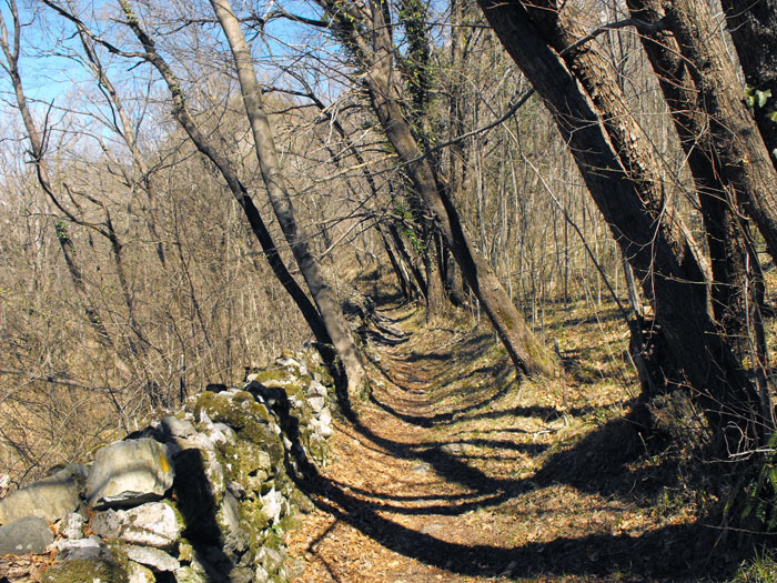
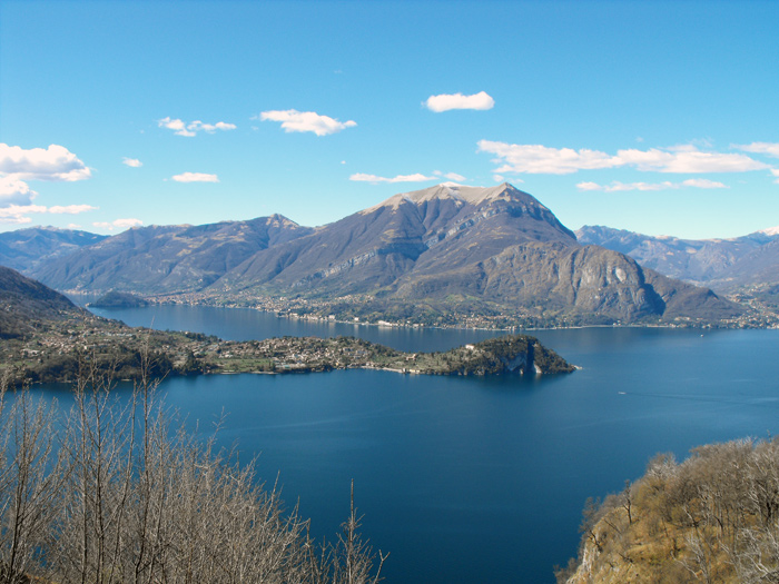
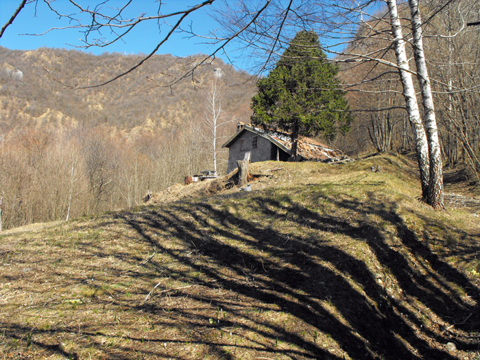
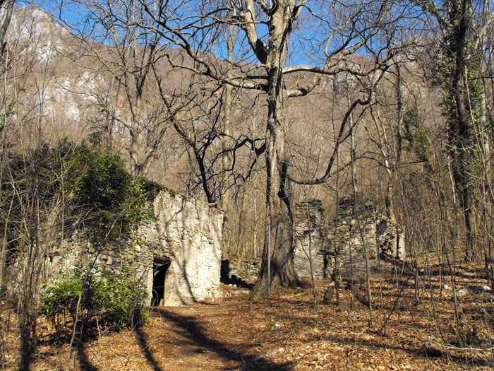
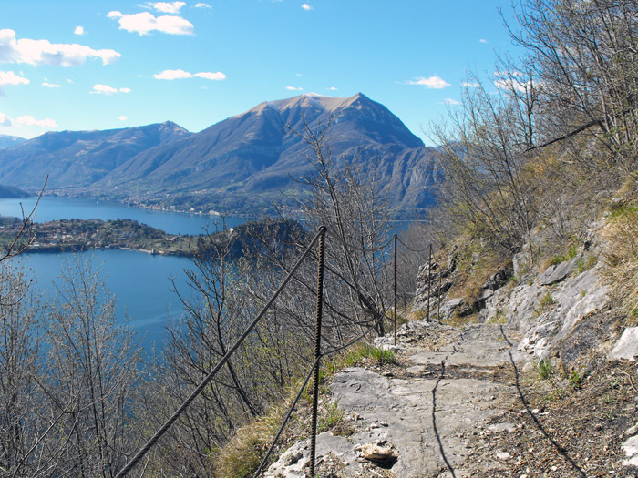
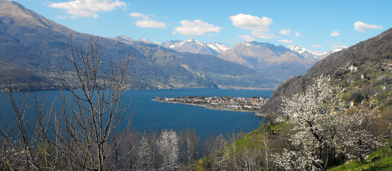
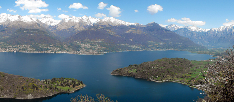
The path enters the woods and overlaps with path n°74 with red and white signage, and when we approach upon a white tabernacle we find ourselves near the "Black Farmstead". Past the Pianca valley the ground starts to become rocky and the incline gets steep. All around us on our shoulders, gorgeous panoramic views over the central part of Lake Como open up. Once around the Dosso della Botte we finally reach the clearing of Coira, the highest point of this stage (780 m.) where we find ourselves at a crossroads of paths. By continuing straight towards Ortanella, we give ourselves the possibility of reaching the high variant, or we can turn to the left and go down towards the ruins of Roslina by crossing through the Vacchera Valley.
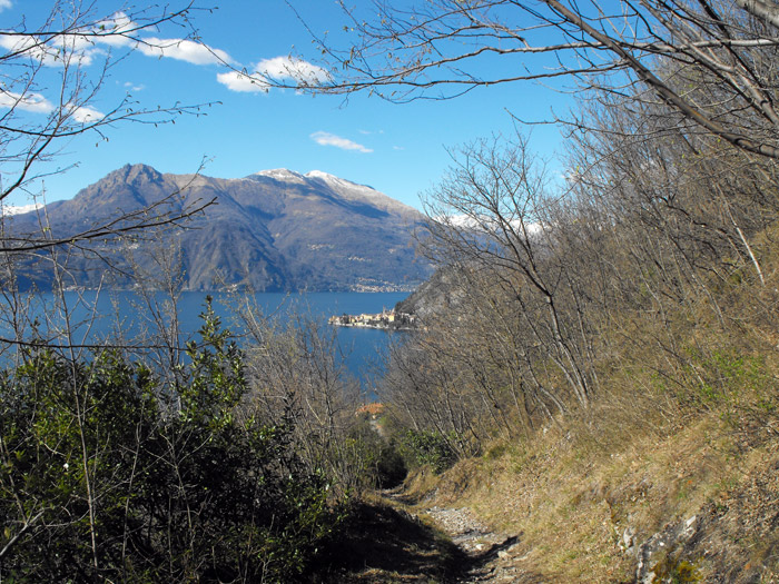
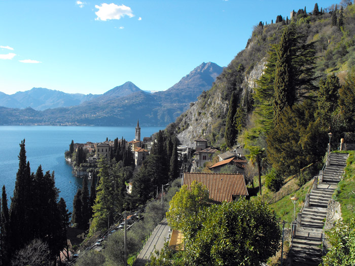
After crossing the bridge over the Pietfer stream, the trail emerges out of the woods, after which a beautiful panoramic stretch begins on a rocky slope that goes slightly downhill. Through the trees we begin to see the Varenna peninsula. Near Fiumelatte a direction arrow indicates towards the turn to the right in order get around the highway, a very steep and slightly unpleasant part of the route, owed as well to the presence of boulder nets. Once back in the woods, we pass under the castle bulwark and continue on behind the cemetery, entering into Varenna. After a short stretch we turn to the right, and past an iron staircase we’ll go on to follow the path that goes up to the village of Vezio where the low variant of the second stage of the Sentiero del Viandante ends.
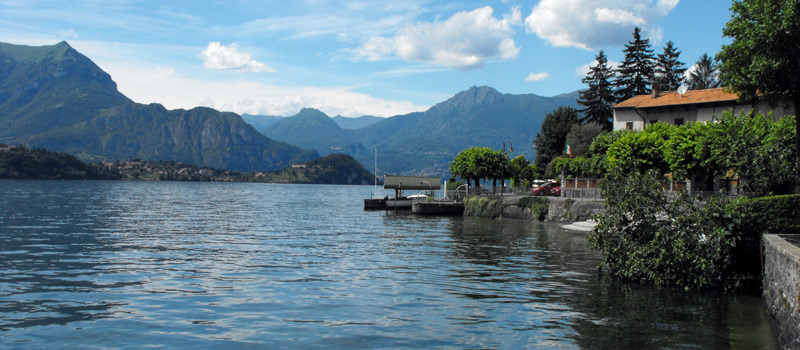
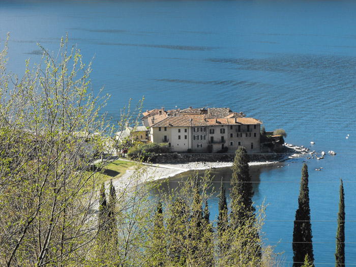
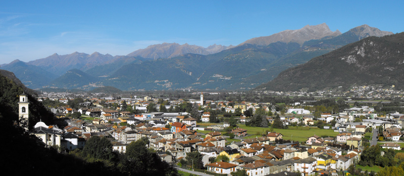
Lierna is affirming itself ever more as a tourist site, the quiet and beauty of this land makes it a very esteemed vacation spot, we'd like to point out the Riva Bianca - one the Lake Como's most beautiful beaches.
Lierna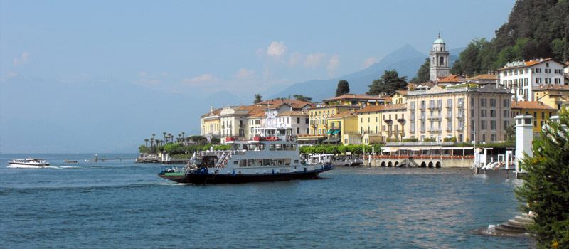
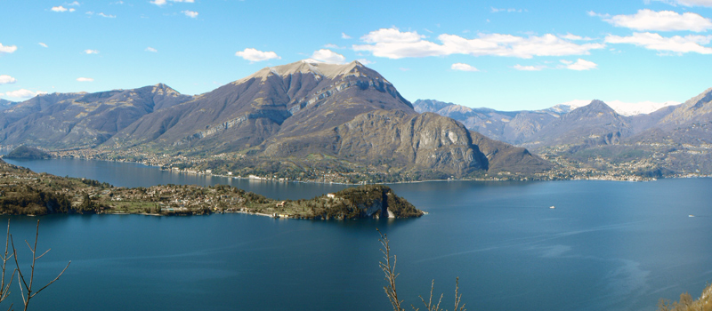
Bellagio is Lario's central headland cape of Lario, by far one of the most beautiful tourist places, not only of Lake Como, but of the entire world. Its beauty has been praised, since the 16th century, by Italian and foreign visitors.
Bellagio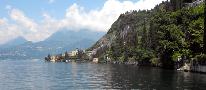
Varenna is articulated in a reticulum of alleys that steeply descend towards Lake Como, where the houses reflect on the water as they do in certain areas of Liguria. Varenna was already famous back then for its white-black marbles.
Varenna