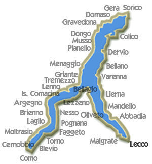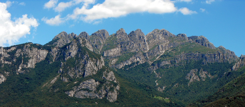
Mount Resegone owes its name to its typical jagged form, from the summit you can enjoy an excellent panorama, with the possiblity of relaxing in the Rifugio Azzoni just below the summit and an incredible variety of routes, from the challenting ferrata (route equpped with ropes and metal ladders) to walks in the woods.
Rifugio A. Stoppani - 890 mt. located in Val Comera on the slopes of the Resegone, just above the chalets of Costa. Completely rebuilt in stone in 1978, offers a room for sack lunches and restaurant service, as well as 22 sleeping places on the upper floor. The peaks of Resegone were an historical theater of Lombardy mountain-climbing, today offering itineraries of various difficulty levels which run along the different slopes.
We point out the Rotary excursion, refering to Manzoni, begins at the presumed home of Lucia (the protagonist in Manzoni's book "The Betrothed") in Lecco and ends at the Rocca dell'Innominato above Vercurago.
Unique is the panorama that may be enjoyed from the Piani d'Erna, lovely place at the feet of Mount Resegone, served by a useful cable car where various opportunities avail themselves to the excursionist: the natural route, the ferrata routes, and the winter ski slopes. Mount Resegone is prevalentely made up of dolomitic-limestone, of marine origins, and includes even banks of very pure rocks, conspicuously exploited by mankind, which has, and continues to produce every extending wounds on the sides of Mount Magnodeno in order to extract limestone for the steel and iron industry and for construction materials.
The panoroma admired during limpid days from the summit is magnificent and impressive: Lecco and its mountains, the Brianza with its lakes, the Prealps of Como and Bergamo, and the Alps of the Monviso at Retiche. Almost evanescent besides the Pianura Padana, and the Appennines.
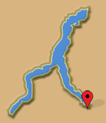
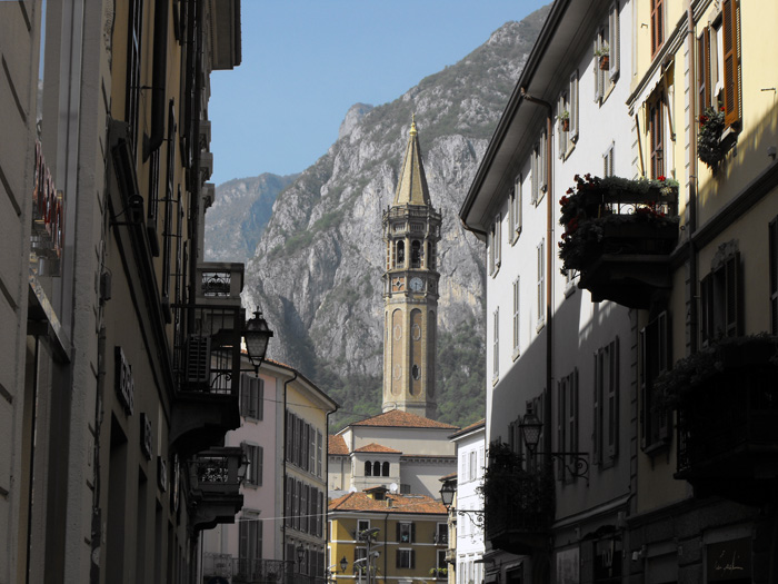
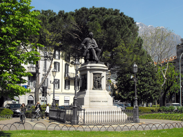
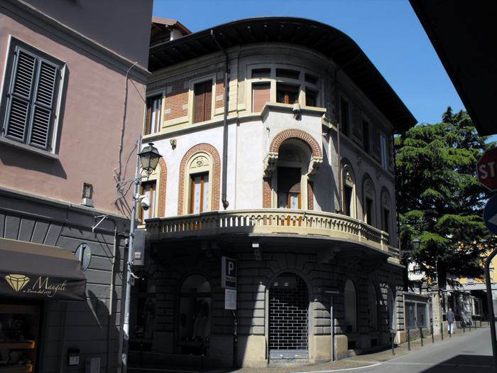
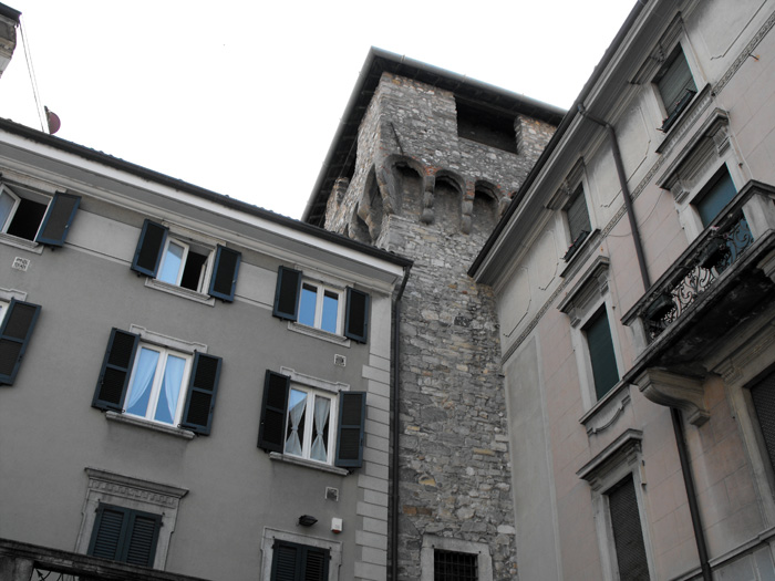
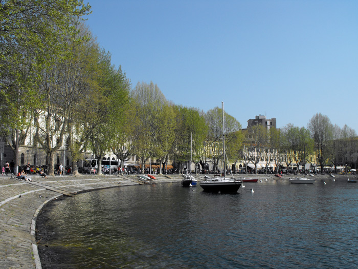
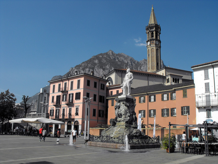
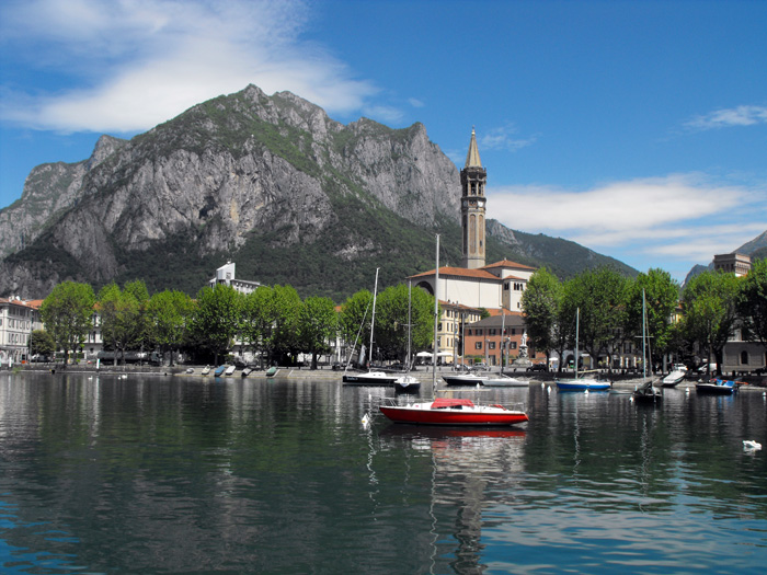
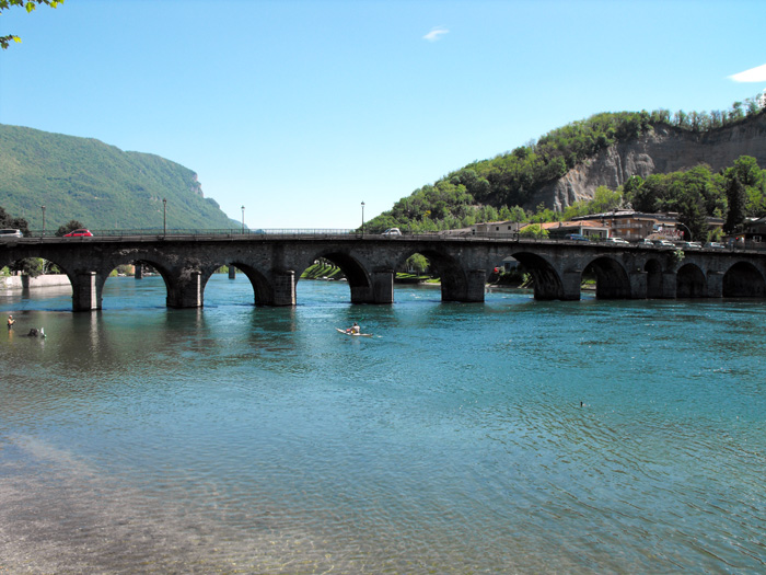
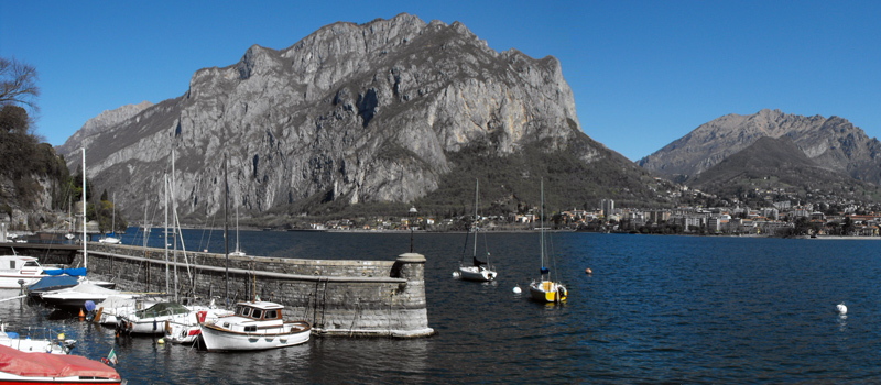
It has always been a town of fisherman and boatmen, already during the 18th century, Malgrate was a vacation town frequented by Milan’s upper class. The famous inventor, Pietro Vassena (1897 – 1967) a Malgrate native
Malgrate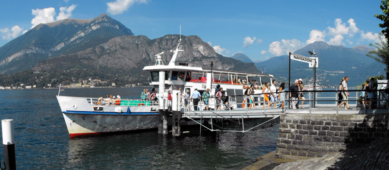
Various theme cruises are organized by the Lake Navigation Management, besides the normal lake navigation service, in July and August, it is possible to take a cruise on the Concordia with restaurant service.
Navigation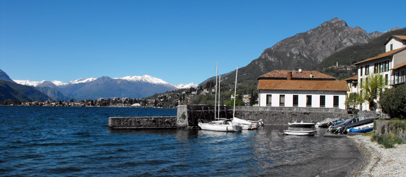
In this area you can make many excursions and trips: in Linzanico starts the trail that in about three hours of walking gets to Resinelli Flatland, the Path of the Wanderer starts at Borbino and connected Abbadia to Colico.
Abbadia Lariana